
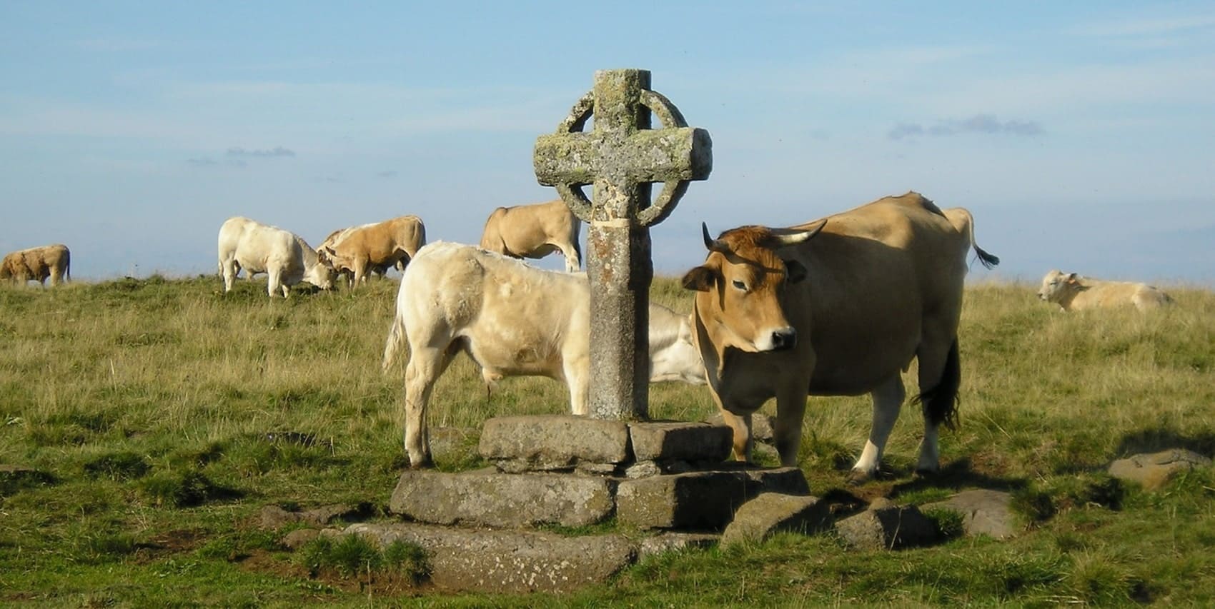
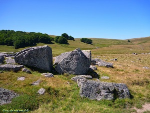
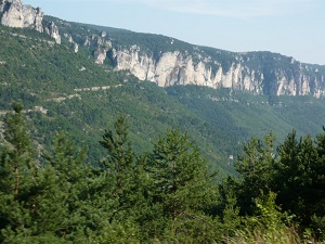
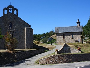
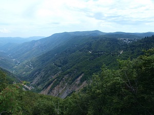
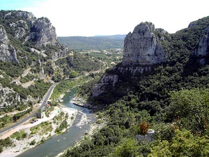
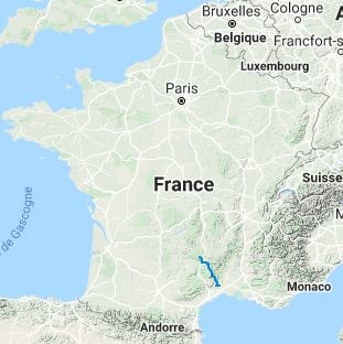
The GR®60 is a wild and scenic trail linking the summit of the Aubrac plateau to the plains of the Hérault region. Starting at the Signal de Mailhebiau, the highest point of the Aubrac, the route crosses vast granite and basalt plateaux where Aubrac cattle breeding has shaped the landscape for centuries. Hikers discover a unique pastoral heritage, marked by burons (traditional shepherds' huts) and draille de la Margeride (ancient droving roads). As the trail descends towards Hérault, the landscape transforms dramatically: garrigue replaces moorland, olive trees and vines appear, and the air fills with the scent of lavender and thyme.
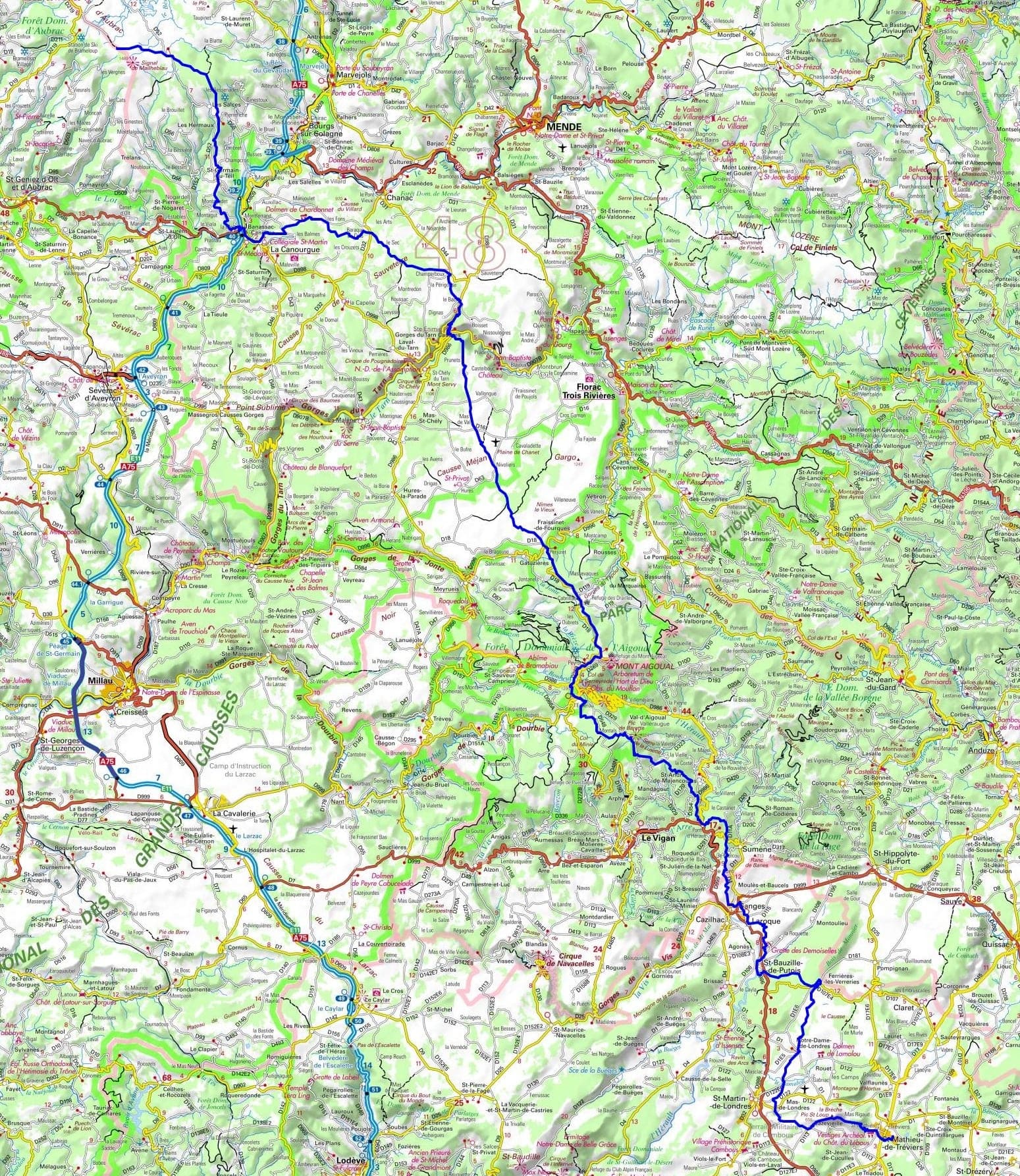
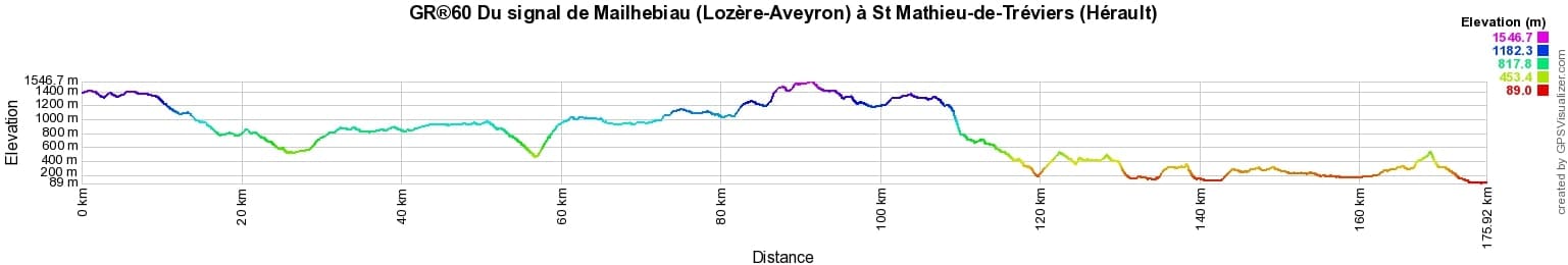
 Distance: 176km, Elevation maximum: 1547m, Elevation minimum: 89m, Elevation gain uphill: 4516m
Nearby paths:
![]() It is advisable to follow the beacons all along your hike and to bring the FFRandonnée topo-guide. You will also find information on MonGR.fr.
It is advisable to follow the beacons all along your hike and to bring the FFRandonnée topo-guide. You will also find information on MonGR.fr.
GR®, PR®, GRP®, and the corresponding signs of markings (white/red, yellow and yellow/red) are trademarks of the French Federation of Hiking. They may not be reproduced without permission. The French Federation of Hiking, state-approved, includes organizations that create and maintain hiking routes on GR®, PR® and GRP®. It publishes topo-guides for these hiking routes. With your donations, support the actions of the thousands of volunteer markers of the FFRandonnée.
GR-Infos.com is an editorial partner of MonGR.fr.
| Return |

Former holiday hotel with a garden along the Allier, L'Etoile Guest House is located in La Bastide-Puylaurent between Lozere, Ardeche, and the Cevennes in the mountains of Southern France. At the crossroads of GR®7, GR®70 Stevenson Path, GR®72, GR®700 Regordane Way, GR®470 Allier River springs and gorges, GRP® Cevenol, Ardechoise Mountains, Margeride. Numerous loop trails for hiking and one-day biking excursions. Ideal for a relaxing and hiking getaway.
Copyright©gr-infos.com (Authorization for private use only)
To help us maintain and improve GR-Infos.com, a contribution of 2€ is desired via Wero or bank transfer. Thank you!