
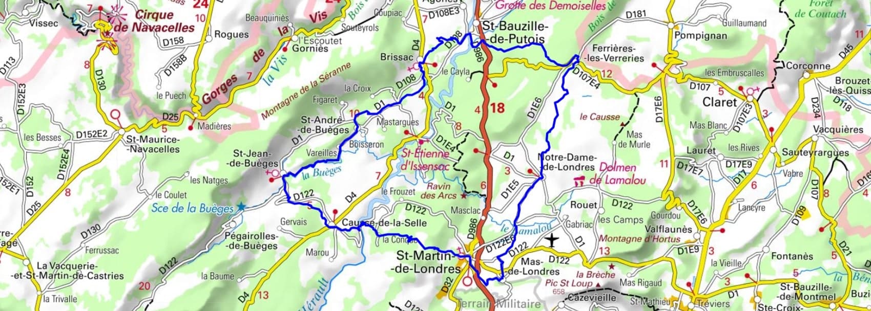
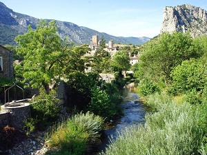
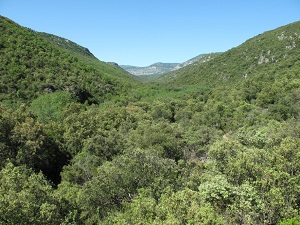
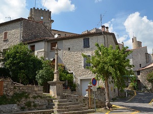
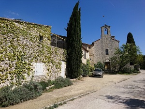
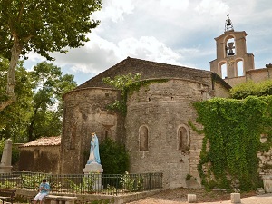
Starting from Saint-Jean-de-Buèges, the trail follows the Buèges Valley, winding through Saint-André and Brissac, where medieval castles stand guard over the surrounding countryside. Heading towards Saint-Bauzille-de-Putois, the terrain becomes more rugged, offering views of the Hérault River before descending into the London Plain. This unique basin, dominated by the silhouette of the Pic du Midi, connects Notre-Dame-de-Londres to Mas-de-Londres, lands steeped in millennia of agropastoralism. The heritage culminates in Saint-Martin-de-Londres with its Romanesque church, a jewel of Languedoc art and a true haven of spirituality. The loop concludes on the Causse-de-la-Selle, an arid plateau where the silence is broken only by the flight of Bonelli's eagles. Between the cliffs of Hortus and the renowned vineyards, this route offers a dramatic geology and unspoiled wilderness. It's a journey through time, from old dry-stone farmhouses to breathtaking panoramas of the Hérault garrigue.
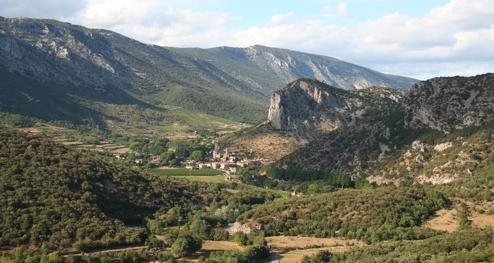
The area around the Grand Pic Saint-Loup, linking the villages of Londres and Buèges, is an emblematic zone of the Hérault hinterland, marking the transition between the plains and the Cévennes mountains. The landscape is dominated by the limestone relief of the iconic peak, which rises amidst a vast expanse of garrigue scrubland and vineyards. The history of this region is closely linked to the Middle Ages, with the presence of castles and legends, the Pic itself bearing the remains of an ancient chapel and a fort. The flora is typically Mediterranean, rich in holm oaks, Aleppo pines, and especially aromatic plants such as thyme and rosemary, which make up the dry maquis. The fauna is adapted to this arid and sunny climate, including wild boar and a rich Mediterranean birdlife, in an environment preserved and prized for its AOC vineyards.
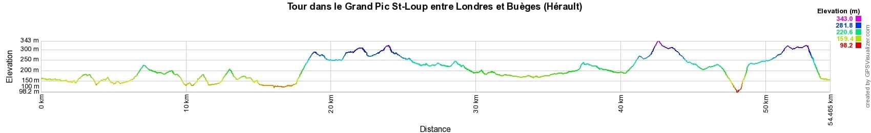
 Distance: 54km, Elevation maximum: 343m, Elevation minimum: 98m, Elevation gain uphill: 1081m
IGN Maps: 2642ET - SAINT-GUILHEM-LE-DESERT. 2742ET - GANGES / PIC SAINT-LOUP / SAINT-MARTIN-DE-LONDRES.
Nearby paths:
![]() It is advisable to follow the beacons all along your hike and to bring the FFRandonnée topo-guide. You will also find information on MonGR.fr.
It is advisable to follow the beacons all along your hike and to bring the FFRandonnée topo-guide. You will also find information on MonGR.fr.
GR®, PR®, GRP® and the corresponding markings are trademarks of the French Federation of Hiking. They may not be reproduced without permission. The French Federation of Hiking, state-approved, includes organizations that maintain hiking routes. It publishes guides for these routes. With your donations, support the actions of the thousands of volunteer markers of the FFRandonnée.
GR-Infos.com is an editorial partner of MonGR.fr.
| Return |

Former holiday hotel with a garden along the Allier, L'Etoile Guest House is located in La Bastide-Puylaurent between Lozere, Ardeche, and the Cevennes in the mountains of Southern France. At the crossroads of GR®7, GR®70 Stevenson Path, GR®72, GR®700 Regordane Way, GR®470 Allier River springs and gorges, GRP® Cevenol, Ardechoise Mountains, Margeride. Numerous loop trails for hiking and one-day biking excursions. Ideal for a relaxing and hiking getaway.
Copyright©gr-infos.com (Authorization for private use only)
To help us maintain and improve GR-Infos.com, a contribution of 2€ is desired via Wero or bank transfer. Thank you!