
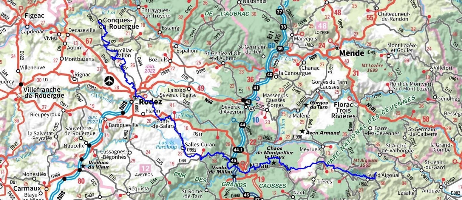
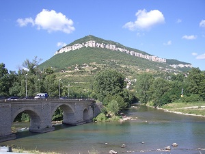
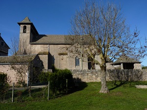
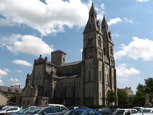
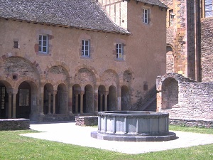
Conques, famous for its abbey, prospered thanks to its role on the Way of Saint James (Camino de Santiago) and is a living testament to Christian history. The route passes through the Grands Causses Regional Natural Park with its vast open spaces and rock formations. This region has preserved numerous traces of human history, including typical villages with dry-stone architecture, ancient churches and medieval castles. The rocky plateaux host a specific flora including many orchid species, while the fauna is dominated by birds of prey such as griffon vultures and short-toed snake eagles soaring above the limestone gorges.

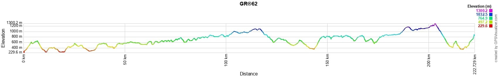
 Distance: 222km, Elevation maximum: 1300m, Elevation minimum: 231m, Elevation gain uphill: 6279m
Nearby paths:
![]() It is advisable to follow the beacons all along your hike and to bring the FFRandonnée topo-guide. You will also find information on MonGR.fr.
It is advisable to follow the beacons all along your hike and to bring the FFRandonnée topo-guide. You will also find information on MonGR.fr.
GR®, PR®, GRP®, and the corresponding signs of markings (white/red, yellow and yellow/red) are trademarks of the French Federation of Hiking. They may not be reproduced without permission. The French Federation of Hiking, state-approved, includes organizations that create and maintain hiking routes on GR®, PR® and GRP®. It publishes topo-guides for these hiking routes. With your donations, support the actions of the thousands of volunteer markers of the FFRandonnée.
GR-Infos.com is an editorial partner of MonGR.fr.
| Return |

Former holiday hotel with a garden along the Allier, L'Etoile Guest House is located in La Bastide-Puylaurent between Lozere, Ardeche, and the Cevennes in the mountains of Southern France. At the crossroads of GR®7, GR®70 Stevenson Path, GR®72, GR®700 Regordane Way, GR®470 Allier River springs and gorges, GRP® Cevenol, Ardechoise Mountains, Margeride. Numerous loop trails for hiking and one-day biking excursions. Ideal for a relaxing and hiking getaway.
Copyright©gr-infos.com (Authorization for private use only)
To help us maintain and improve GR-Infos.com, a contribution of 2€ is desired via Wero or bank transfer. Thank you!