
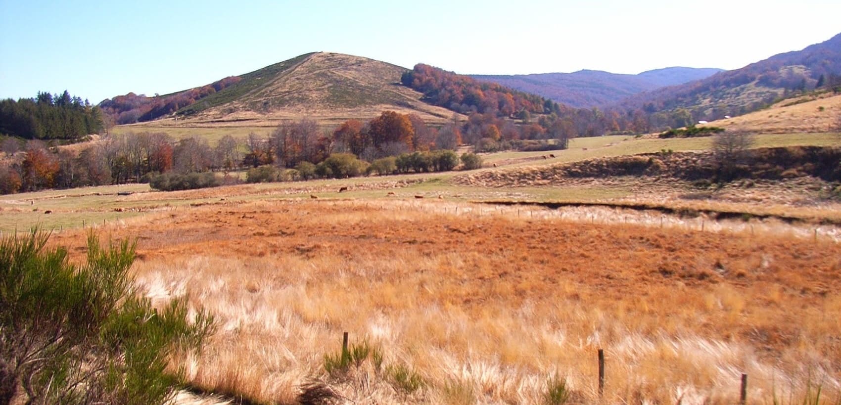
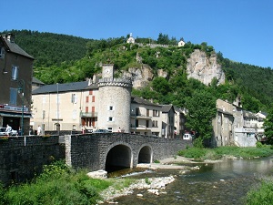
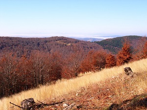
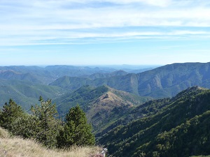
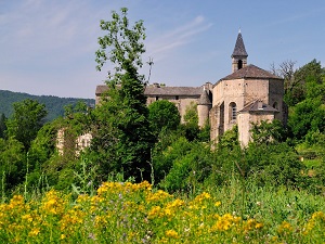
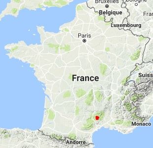
Dominating the southern Cévennes, Mont Aigoual is a wild crossroads where history intertwines with unspoiled nature, traversed by the GR®66 long-distance hiking trail that circles it. This summit, famous for its meteorological observatory, offers landscapes of moorland and deep forests, shaped by a harsh climate with contrasting Mediterranean and mountain influences. The Aigoual forest, replanted in the 19th century through a remarkable reforestation effort, shelters a diverse fauna including deer, mouflons and a rich birdlife. The flora is exceptional, ranging from Atlantic heathland to beech forests and sub-Alpine meadows, with numerous endemic species of the Cévennes biosphere.
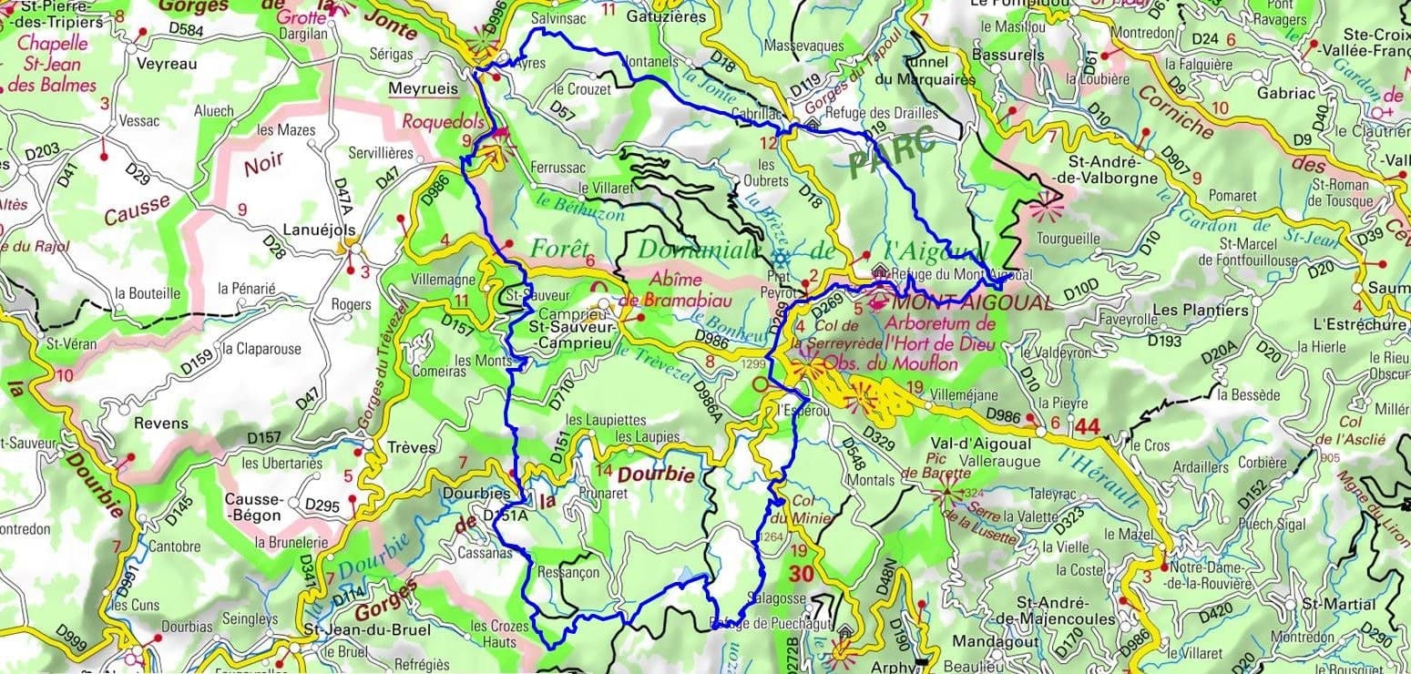
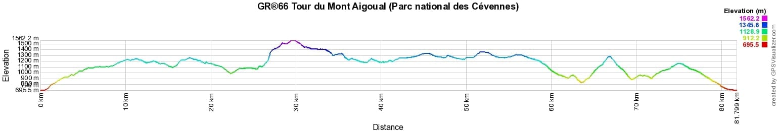
 Distance: 82km, Elevation maximum: 1558m, Elevation minimum: 702m, Elevation gain uphill: 2829m
Nearby paths:
![]() It is advisable to follow the beacons all along your hike and to bring the FFRandonnée topo-guide. You will also find information on MonGR.fr.
It is advisable to follow the beacons all along your hike and to bring the FFRandonnée topo-guide. You will also find information on MonGR.fr.
GR®, PR®, GRP®, and the corresponding signs of markings (white/red, yellow and yellow/red) are trademarks of the French Federation of Hiking. They may not be reproduced without permission. The French Federation of Hiking, state-approved, includes organizations that create and maintain hiking routes on GR®, PR® and GRP®. It publishes topo-guides for these hiking routes. With your donations, support the actions of the thousands of volunteer markers of the FFRandonnée.
GR-Infos.com is an editorial partner of MonGR.fr.
| Return |

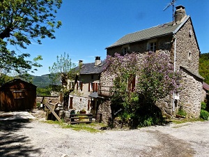
Former holiday hotel with a garden along the Allier, L'Etoile Guest House is located in La Bastide-Puylaurent between Lozere, Ardeche, and the Cevennes in the mountains of Southern France. At the crossroads of GR®7, GR®70 Stevenson Path, GR®72, GR®700 Regordane Way, GR®470 Allier River springs and gorges, GRP® Cevenol, Ardechoise Mountains, Margeride. Numerous loop trails for hiking and one-day biking excursions. Ideal for a relaxing and hiking getaway.
Copyright©gr-infos.com (Authorization for private use only)
To help us maintain and improve GR-Infos.com, a contribution of 2€ is desired via Wero or bank transfer. Thank you!