
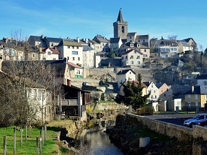
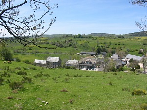
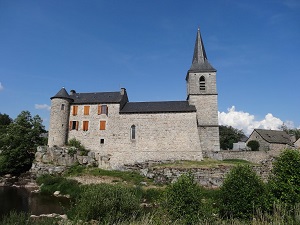
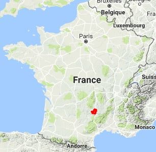
Starting in Aumont-Aubrac in the Lozère department, the trail ventures into traditional transhumance territory. Passing through Saint-Laurent-de-Muret and Les Enfrux, hikers discover a landscape of endless pastures dotted with granite boulders and burons—the stone shelters where cheese was historically made. Arriving in Laguiole, in the Aveyron department, renowned for its cutlery-making expertise, marks a significant cultural milestone. The path then crosses into Saint-Urcize, a charming village in the Cantal department. Nature here is both wild and fragile, harboring exceptional flora such as the sundew and the sulfur anemone in its wetlands. Between Recoules-d'Aubrac and Fourmels, the profound silence is broken only by the rhythmic tinkling of Aubrac cowbells. Heritage reveals itself further in secluded hamlets like La Brugère and La Croze, where massive stone architecture stands resilient against the harsh winters.
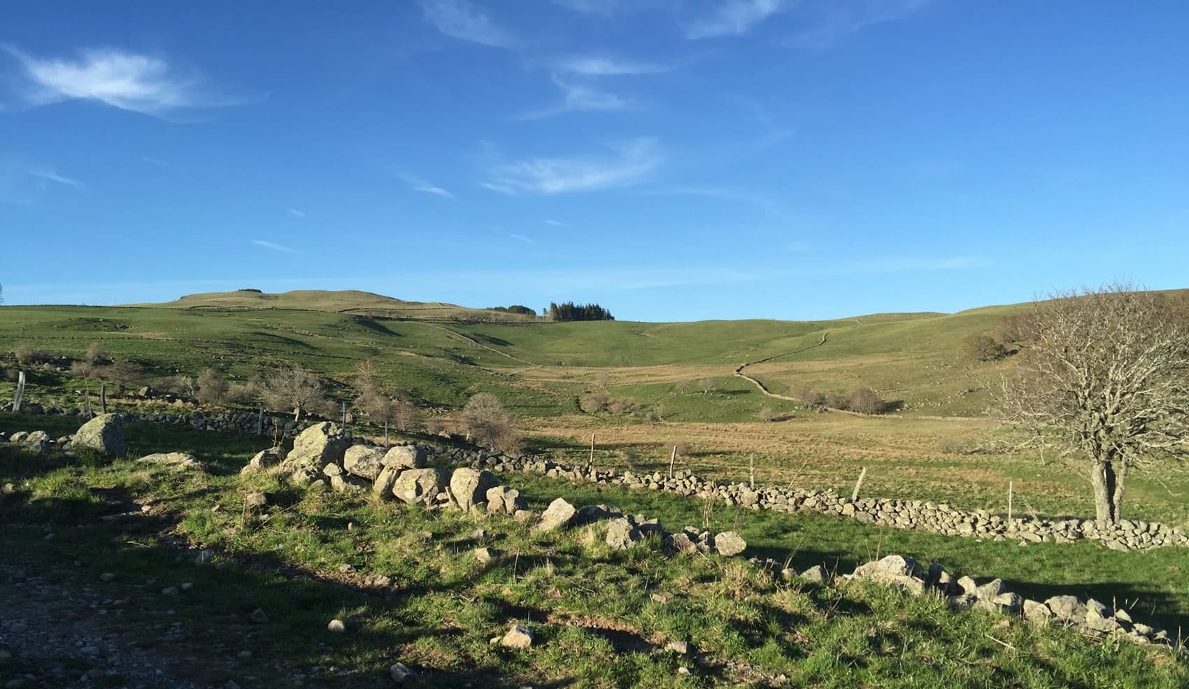
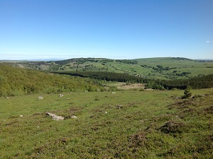
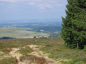
The Aubrac Mountains form a vast basalt plateau shared among the Lozère, Aveyron, and Cantal departments. This region is characterized by its immense pastures scattered with granite boulders and burons—traditional stone shepherd's huts where local cheese was once crafted. The history of the Aubrac is inextricably tied to the pilgrimage route to Santiago de Compostela; the Dômerie d'Aubrac has been welcoming pilgrims since the 12th century, offering refuge in what was then a highly inhospitable environment. Nature reigns supreme across the plateau, particularly in spring when the landscape is carpeted with daffodils and narcissi as far as the eye can see. The region's living heritage is embodied by the famous Aubrac cow with its distinctive markings—the queen of the summer pastures that graces local traditional fairs. In autumn, the resounding bellow of the stag echoes through the surrounding beech forests, adding to the wild and untamed atmosphere of the area.
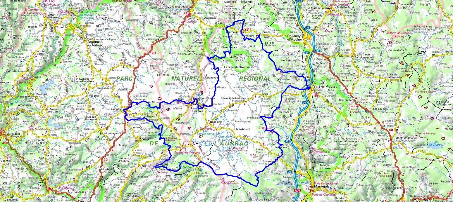
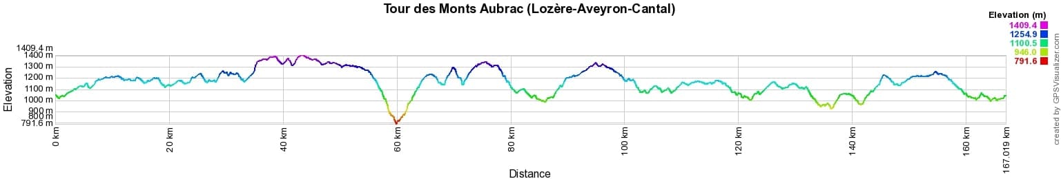
 Distance: 166km, Elevation maximum: 1425m, Elevation minimum: 792m, Elevation gain uphill: 3530m
IGN Maps: Nasbinals - 2537OT. Sainte-Eulalie d'Olt - 2538OT. Saint-Chely-D'Apcher - 2637O.
Nearby paths:
![]() It is advisable to follow the beacons all along your hike and to bring the FFRandonnée topo-guide. You will also find information on MonGR.fr.
It is advisable to follow the beacons all along your hike and to bring the FFRandonnée topo-guide. You will also find information on MonGR.fr.
GR®, PR®, GRP® and the corresponding markings are trademarks of the French Federation of Hiking. They may not be reproduced without permission. The French Federation of Hiking, state-approved, includes organizations that maintain hiking routes. It publishes guides for these routes. With your donations, support the actions of the thousands of volunteer markers of the FFRandonnée.
GR-Infos.com is an editorial partner of MonGR.fr.
| Return |

Former holiday hotel with a garden along the Allier, L'Etoile Guest House is located in La Bastide-Puylaurent between Lozere, Ardeche, and the Cevennes in the mountains of Southern France. At the crossroads of GR®7, GR®70 Stevenson Path, GR®72, GR®700 Regordane Way, GR®470 Allier River springs and gorges, GRP® Cevenol, Ardechoise Mountains, Margeride. Numerous loop trails for hiking and one-day biking excursions. Ideal for a relaxing and hiking getaway.
Copyright©gr-infos.com (Authorization for private use only)
To help us maintain and improve GR-Infos.com, a contribution of 2€ is desired via Wero or bank transfer. Thank you!