
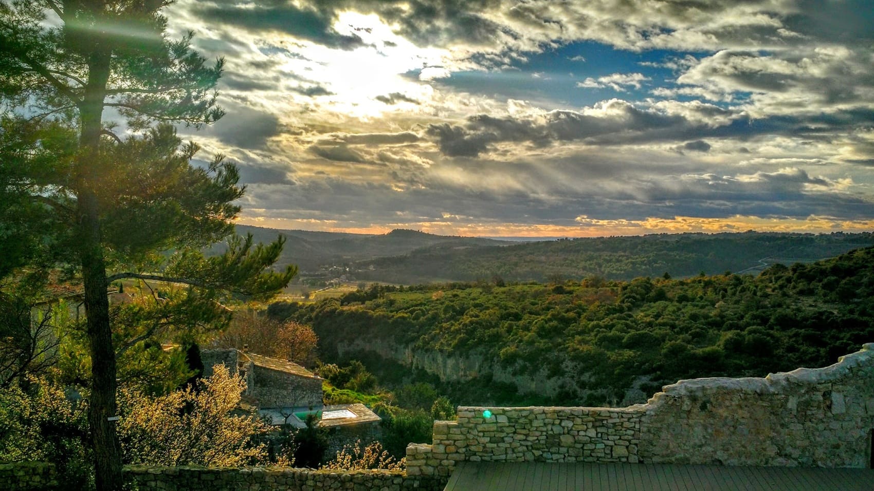
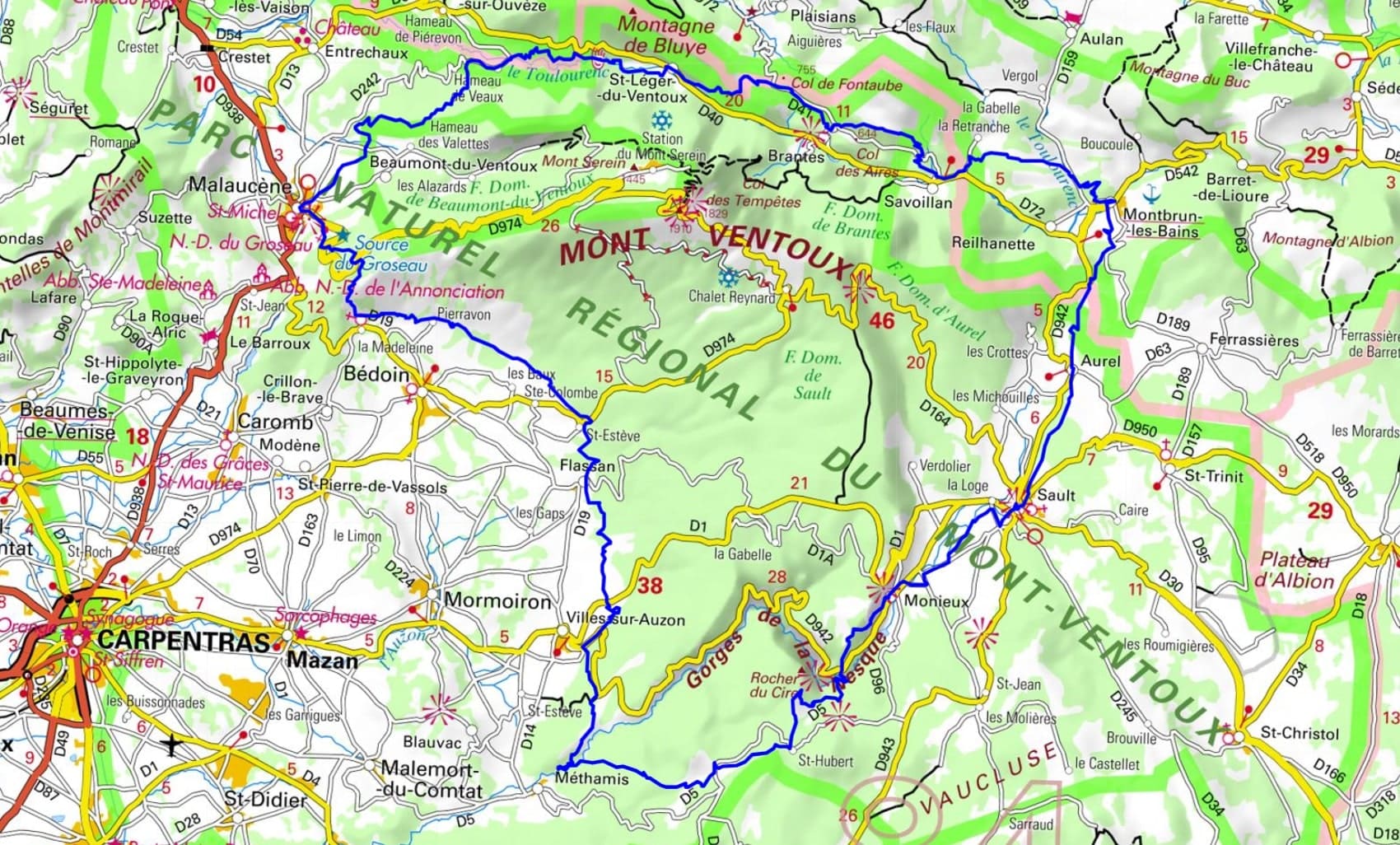
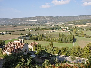
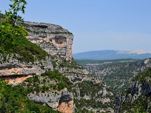
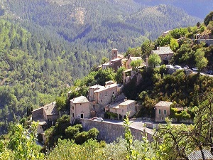
Starting in Sault, this journey around the foothills of Mont Ventoux offers a spectacular immersion between the Drôme Provençale and the Vaucluse. The trail first crosses the wild Nesque gorges towards Monieux, before descending towards dry-stone villages like Cabrières-d'Avignon and the iconic resurgence of Fontaine-de-Vaucluse. Medieval heritage is vividly displayed in Venasque and Villes-sur-Auzon, gateway to the ochre quarries and vineyards. By skirting the "Giant of Provence," the route connects Bédoin and Malaucène, revealing a preserved natural landscape of wooded valleys and limestone cliffs. Crossing the Toulourenc valley reveals perched gems like Brantes, facing the steep north face of Ventoux, before reaching the thermal waters of Montbrun-les-Bains and then towards Aurel, a jewel of Provence with its old medieval castle and its cobbled streets.
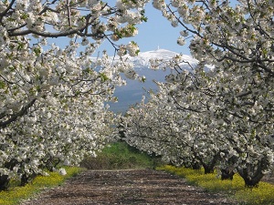
The environment of Mont Ventoux is varied. The lower part of the massif is made up of oak and pine forests. The upper part consists of alpine meadows and rocks. The flora of Mont Ventoux is rich and diverse. There are more than 1,000 plant species there, some of which are endemic, meaning they are only found in this region. Among the most notable species are the yellow gentian, the martagon lily, and the opposite-leaved saxifrage. The fauna of Mont Ventoux is also rich and diverse. There are more than 100 species of birds there, including the griffon vulture, the bearded vulture, and the red kite. There are also mammals such as deer, wild boar, and fox.
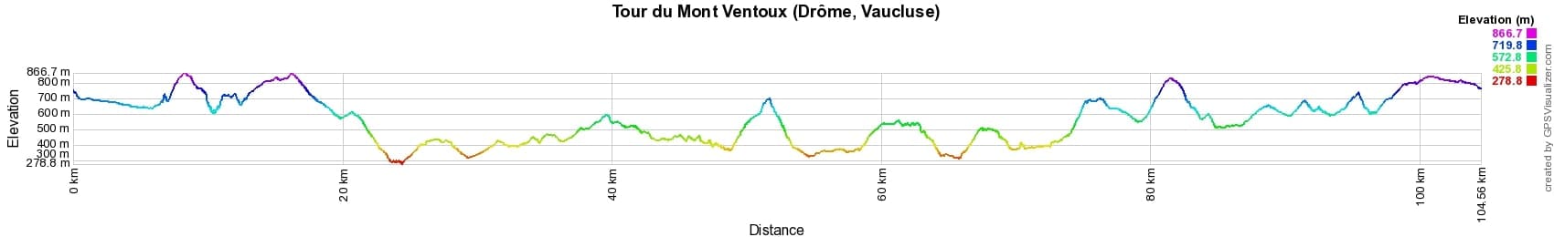
 Distance: 162km, Maximum elevation: 869m, Minimum elevation: 78m, Total ascent: 5313m
Nearby paths:
![]() It is advisable to follow the beacons all along your hike and to bring the FFRandonnée topo-guide. You will also find information on MonGR.fr.
It is advisable to follow the beacons all along your hike and to bring the FFRandonnée topo-guide. You will also find information on MonGR.fr.
GR®, PR®, GRP® and the corresponding markings are trademarks of the French Federation of Hiking. They may not be reproduced without permission. The French Federation of Hiking, state-approved, includes organizations that maintain hiking routes. It publishes guides for these routes. With your donations, support the actions of the thousands of volunteer markers of the FFRandonnée.
GR-Infos.com is an editorial partner of MonGR.fr.
| Return |

Former holiday hotel with a garden along the Allier, L'Etoile Guest House is located in La Bastide-Puylaurent between Lozere, Ardeche, and the Cevennes in the mountains of Southern France. At the crossroads of GR®7, GR®70 Stevenson Path, GR®72, GR®700 Regordane Way, GR®470 Allier River springs and gorges, GRP® Cevenol, Ardechoise Mountains, Margeride. Numerous loop trails for hiking and one-day biking excursions. Ideal for a relaxing and hiking getaway.
Copyright©gr-infos.com (Authorization for private use only)
To help us maintain and improve GR-Infos.com, a contribution of 2€ is desired via Wero or bank transfer. Thank you!