
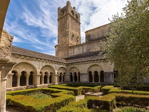
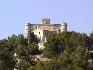
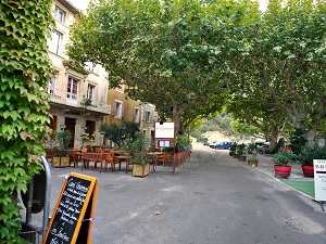
Starting in Vaison-la-Romaine, an ancient city with millennia-old remains, the trail climbs towards Crestet, a medieval village perched like an eagle's nest, before reaching the Château du Barroux, a stone sentinel overlooking the Comtat Venaissin plain. Then come the Dentelles de Montmirail, with their limestone peaks sculpted by erosion above the vineyards. Passing through Beaumes-de-Venise, famous for its sweet wine, you'll discover a heritage linked to the cliffs and caves before reaching the prestigious appellations of Vacqueyras and Gigondas. Here, nature is a mosaic of Aleppo pines, holm oaks, and orderly vines, bathed in Provençal light. The journey continues at the foot of the climbing walls, where the silence of the maquis is broken only by the song of cicadas, until you reach Séguret, whose cobbled streets and gray stone facades seem frozen in time.
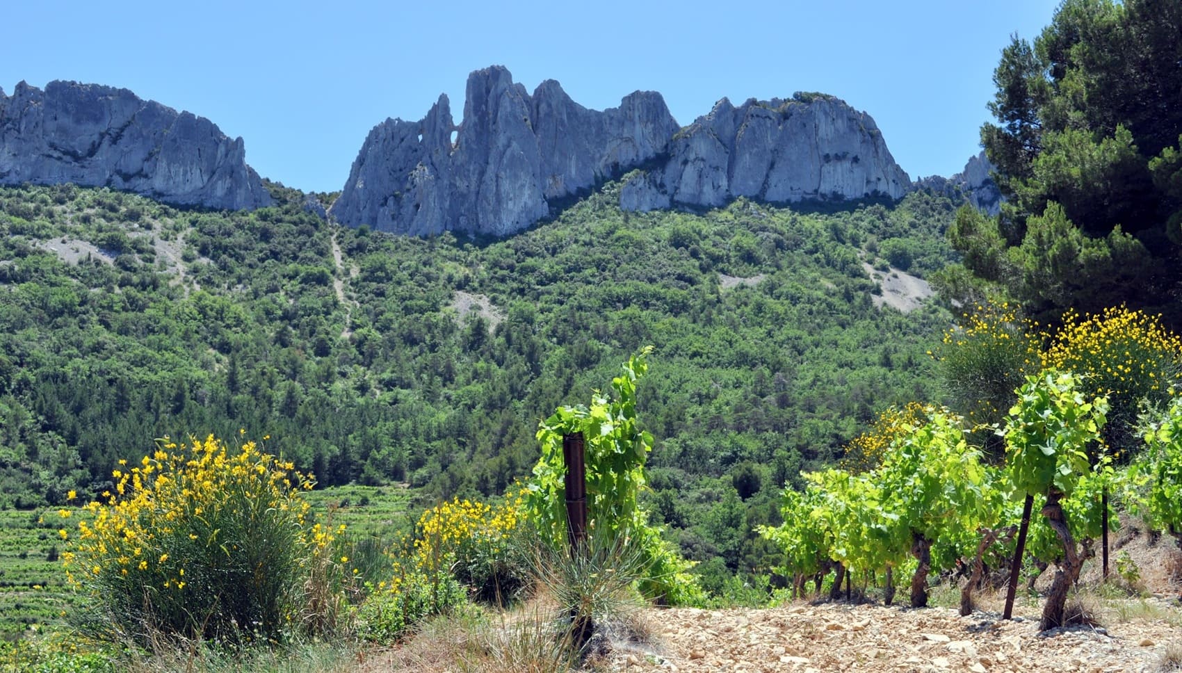
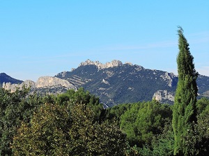
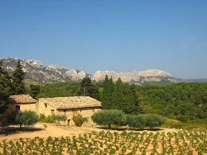
Rising like a limestone tiara in the heart of the Vaucluse region, the Dentelles de Montmirail take their name from the patient erosion that has sculpted their peaks into slender rocky needles. This massif, whose highest point is Saint-Amand, offers a striking contrast between the verticality of its grey walls and the tender green of the world-renowned vineyards that carpet its base. Historically, this landscape has served as a natural refuge since prehistoric times, before perched villages like Séguret and Gigondas established their medieval heritage and stone ramparts there. Nature is Mediterranean and resilient, blending the scent of thyme and rosemary with forests of Aleppo pine and holm oak. Between isolated Romanesque chapels and steep paths, the Dentelles de Montmirail embody the perfect union of rugged geology and a centuries-old Provençal way of life. This picture-postcard landscape, sculpted by time, remains one of the wildest and most elegant jewels of the Rhône Valley.

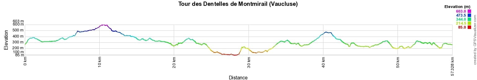
 Distance: 57km, Elevation maximum: 603m, Elevation minimum: 85m, Elevation gain uphill: 1796m
IGN Maps: 3040ET - CARPENTRAS VAISON-LA-ROMAINE DENTELLES DE MONTMIRAIL.
Nearby paths:
![]() It is advisable to follow the beacons all along your hike and to bring the FFRandonnée topo-guide. You will also find information on MonGR.fr.
It is advisable to follow the beacons all along your hike and to bring the FFRandonnée topo-guide. You will also find information on MonGR.fr.
GR®, PR®, GRP® and the corresponding markings are trademarks of the French Federation of Hiking. They may not be reproduced without permission. The French Federation of Hiking, state-approved, includes organizations that maintain hiking routes. It publishes guides for these routes. With your donations, support the actions of the thousands of volunteer markers of the FFRandonnée.
GR-Infos.com is an editorial partner of MonGR.fr.
| Return |

Former holiday hotel with a garden along the Allier, L'Etoile Guest House is located in La Bastide-Puylaurent between Lozere, Ardeche, and the Cevennes in the mountains of Southern France. At the crossroads of GR®7, GR®70 Stevenson Path, GR®72, GR®700 Regordane Way, GR®470 Allier River springs and gorges, GRP® Cevenol, Ardechoise Mountains, Margeride. Numerous loop trails for hiking and one-day biking excursions. Ideal for a relaxing and hiking getaway.
Copyright©gr-infos.com (Authorization for private use only)
To help us maintain and improve GR-Infos.com, a contribution of 2€ is desired via Wero or bank transfer. Thank you!