
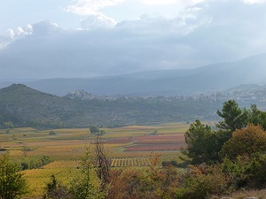
The Vercors is a true sanctuary for biodiversity. Its diverse fauna includes chamois, ibex, red deer, and a multitude of birds such as the bearded vulture and golden eagle. The flora features landscapes of alpine meadows, coniferous forests, and endemic species like arnica and gentian. Further south, the Baronnies Provençales Regional Natural Park boasts a rich historical and cultural heritage. Many villages, such as Buis-les-Baronnies and Nyons, preserve architectural remains like Romanesque churches, chapels, and stone houses typical of the region. Olive cultivation and local products like olive oil, honey, and Provençal herbs are also an integral part of the local identity. Finally, the Mont Ventoux Regional Natural Park is renowned for its natural beauty and exceptional biodiversity, making this crossing an unforgettable adventure for nature enthusiasts.

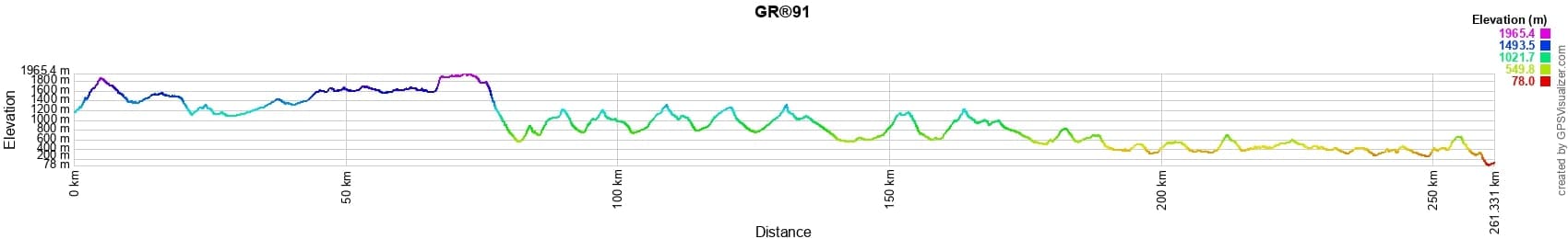
 Distance: 261km, Elevation maximum: 1965m, Elevation minimum: 78m, Elevation gain uphill: 10313m
IGN Maps: Autrans Gorges de la Bourne PNR du Vercors (3235OT). Villard-de-Lans Mont Aiguille PNR du Vercors (3236OT). Glandasse Col de la Croix-Haute PNR du Vercors (3237OT). Luc-en-Diois Valdrome Col de Cabre (3238OT). Mont Ventoux (3140ET). Rosans Orpierre Baronnies Orientales (3239OT).
|
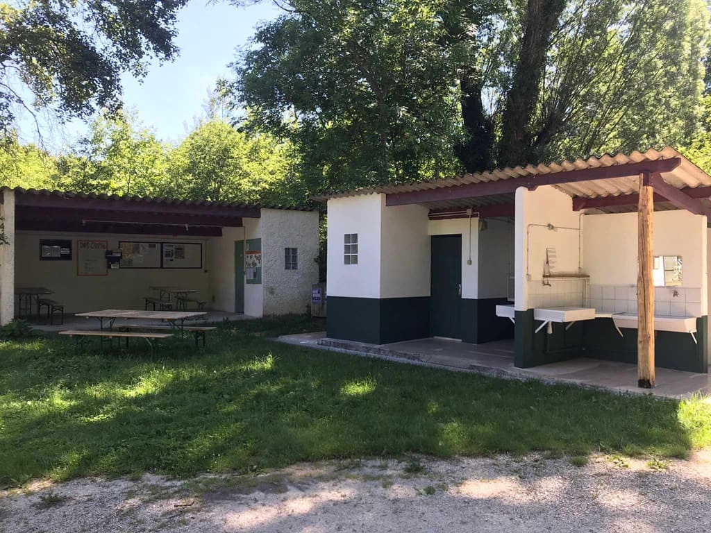
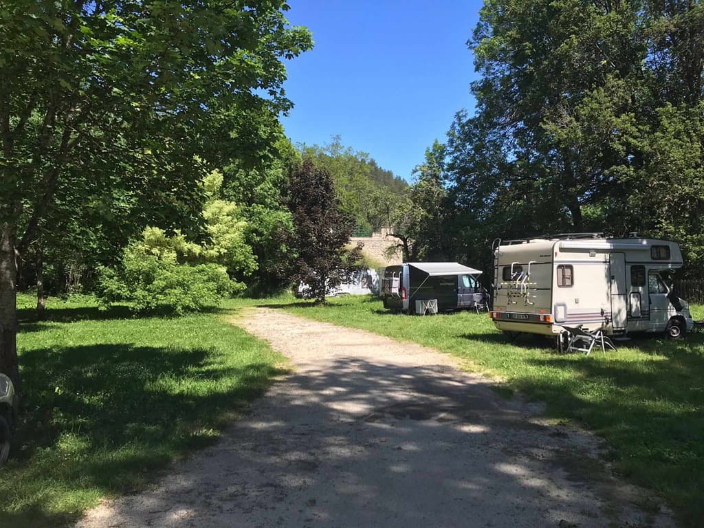
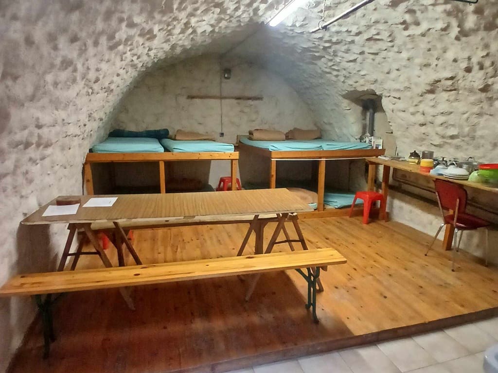
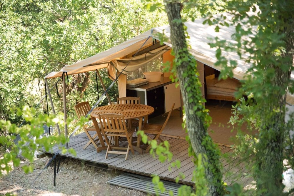
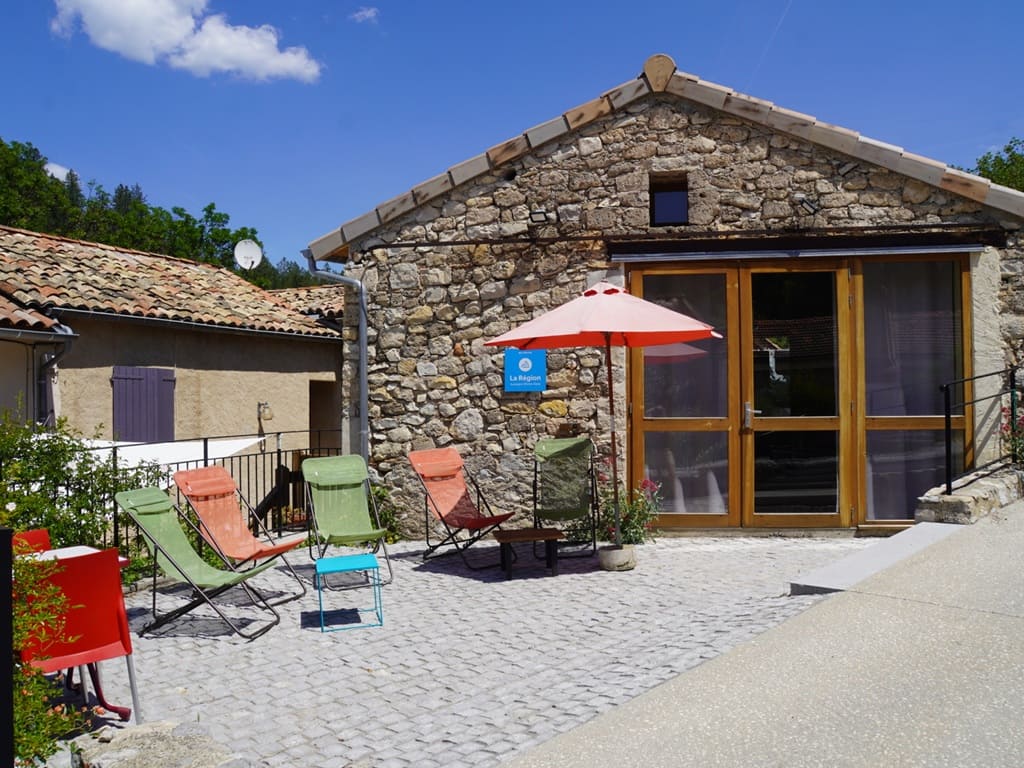
Valdrôme: The Sac et Toile Stopover Gîte and Campsite team, Mr. Auger, 06 15 68 98 16, Email, Facebook Located at the sources of the Drôme river, a quiet and natural campsite with 18 pitches and two fully-equipped lodge tents (4 people) with shared sanitary facilities. A fully-equipped stopover gîte for 8 people is also available. In the village, you will find an inn serving 3 meals a day as well as a small grocery store. |
|
|
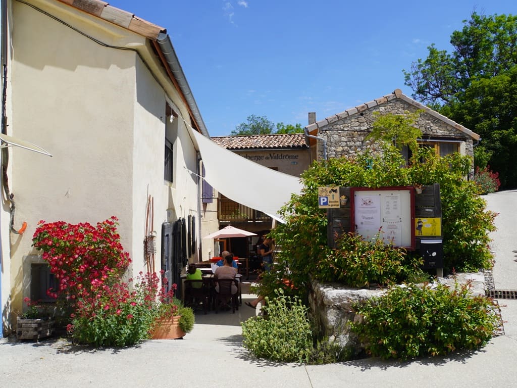
Valdrôme: Auberge de Valdrôme, 04 75 21 71 94, Email, Facebook, Instagram
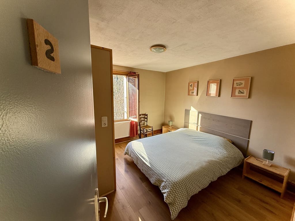
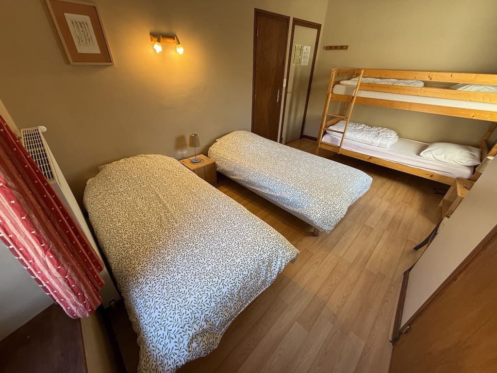
L'Auberge de Valdrôme offers a shared dormitory as well as individual rooms for 2, 3, or 4 people. Enjoy meals from a seasonal menu featuring local and organic products. Sarah and Anne-Lyse welcome you year-round (annual closure in January). A convenience grocery store is also available on site. |
|
Nearby paths:
- Tour of the Petites Roches (Isère)
- Tour of the Monts de Vaucluse
- Tour of the Dentelles de Montmirail (Vaucluse)
- Tour of Mont Ventoux (Drôme, Vaucluse)
- Tour of the Roanne Valley (Drôme)
- Tour of the Provençal Baronnies (Drôme)
- Tour of the Buëch (Hautes-Alpes, Drôme)
- Tour of the Buëch and Méouge (Drôme, Hautes-Alpes)
- Great Crossing of the Prealps (Hautes-Alpes, Alpes-de-Haute-Provence)
![]() It is advisable to follow the beacons all along your hike and to bring the FFRP topo-guide. You will also find information on MonGR.fr.
It is advisable to follow the beacons all along your hike and to bring the FFRP topo-guide. You will also find information on MonGR.fr.
® The GR® GRP® PR acronyms, as well as the corresponding trail signs (white/red, yellow and yellow/red), are trademarks of the Fédération Française de la Randonnée Pédestre. They may not be reproduced without its permission. The FFRP, recognized as being of public utility, groups together the associations which create and maintain the hiking routes on the GR® GRP® PR. It publishes topo-guides for these hiking routes. With your donations, support the actions of the thousands of volunteer markers of the FFRP.
GR-Infos.com is an editorial partner of MonGR.fr.
| Return |