
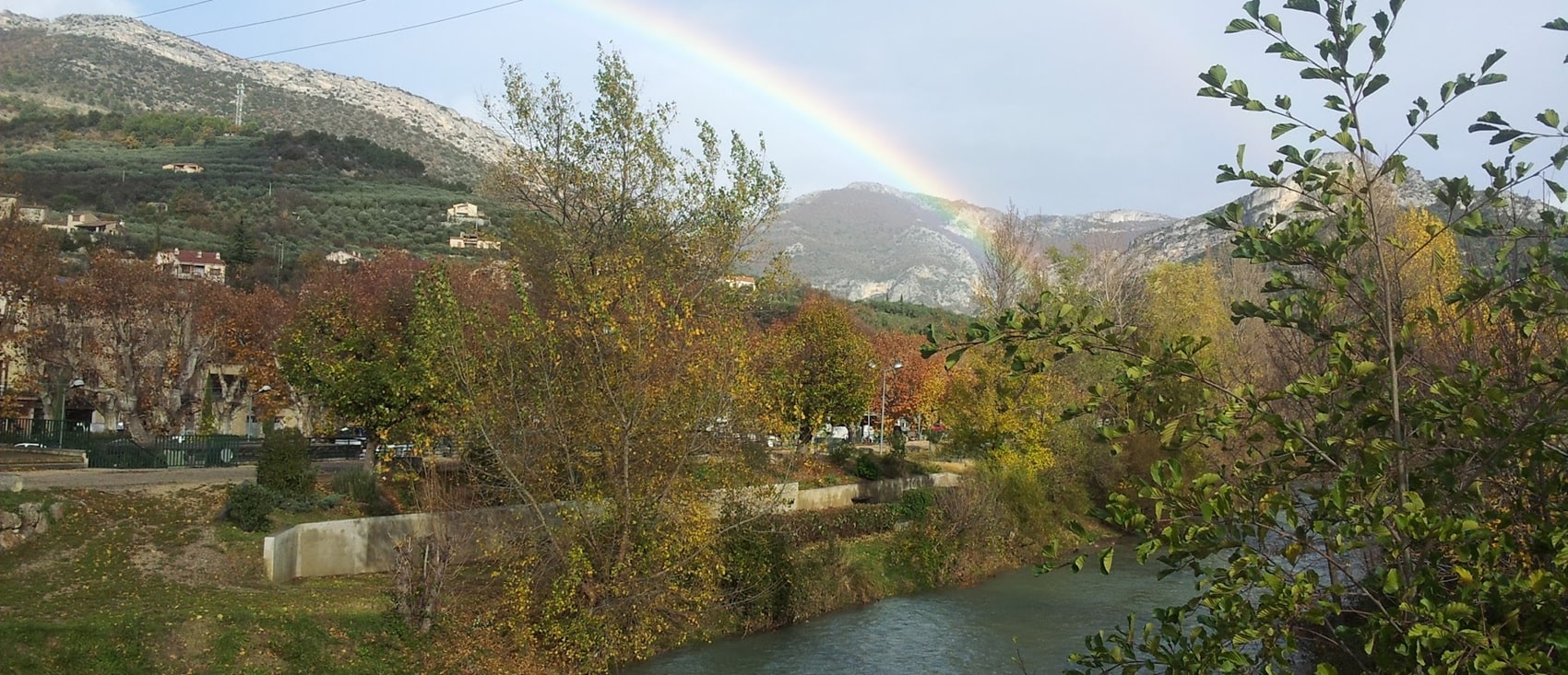
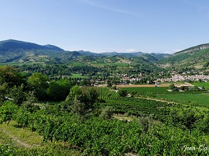
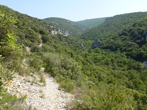
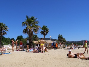
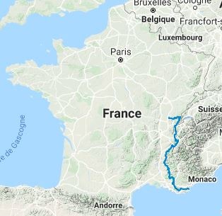
This hiking trail that runs from the Jura mountains to the Mediterranean. It offers a diversity of landscapes, from the dense forests of the Jura to the terraced vineyards of the Rhône region, passing through the alpine meadows of the Chartreuse Massif and the sunny hills of Provence. Hikers can observe a variety of wildlife and flora, including rare and protected species. The trail also crosses regions of exceptional beauty, such as the Baronnies and the Lubéron, and iconic sites like the Sainte-Victoire massif, which inspired Paul Cézanne. The route ends in the Sainte-Baume Regional Natural Park, rich in biodiversity.
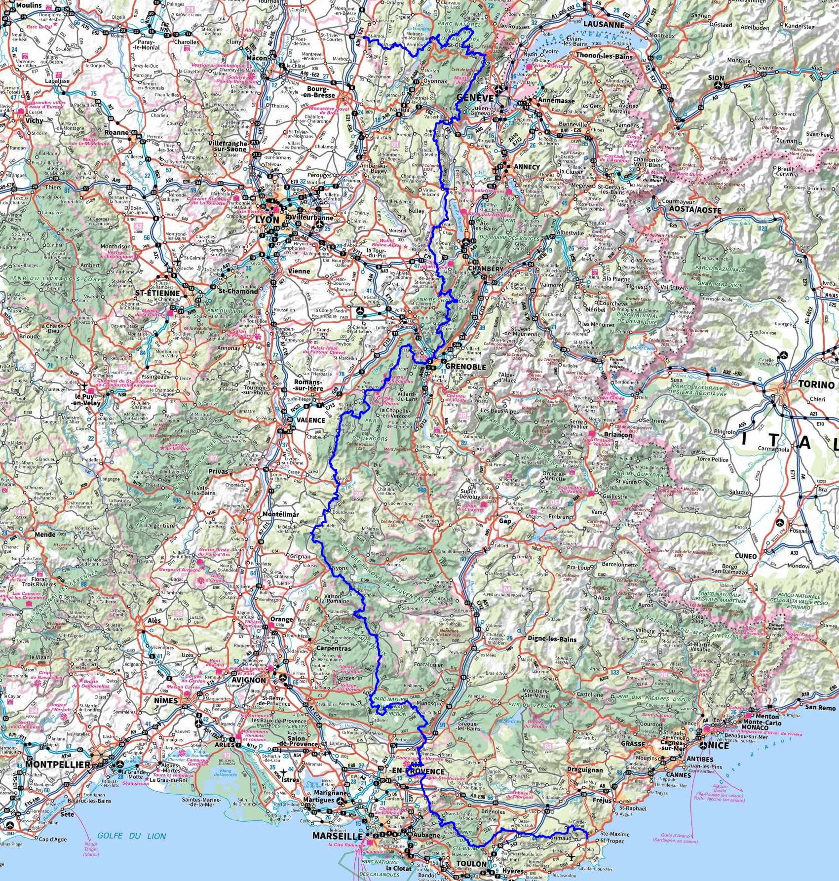
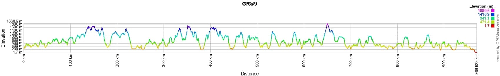
 Distance: 970km, Elevation maximum: 1902m, Elevation minimum: 2m, Elevation gain uphill: 37883m
|
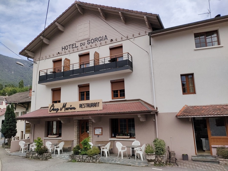
Lancrans: Hotel - Restaurant du Sorgia, 04 50 48 15 81, Email |

|
|
Beaufort-sur-Gervanne: Gîte d'étape La Belle Fortoise, Mr. Laurence Cousin, 06 14 24 51 83, Email |
|
![]() It is advisable to follow the beacons all along your hike and to bring the FFRandonnee topo-guide. You will also find information on MonGR.fr.
It is advisable to follow the beacons all along your hike and to bring the FFRandonnee topo-guide. You will also find information on MonGR.fr.
GR®, PR®, GRP®, and the corresponding signs of markings (white/red, yellow and yellow/red) are trademarks of the French Federation of Hiking. They may not be reproduced without permission. The French Federation of Hiking, state-approved, includes organizations that create and maintain hiking routes on GR®, PR® and GRP®. It publishes guides for these topo hiking routes. With your donations, support the actions of the thousands of volunteer markers of the FFRandonnee.
GR-Infos.com is an editorial partner of MonGR.fr.
| Return |

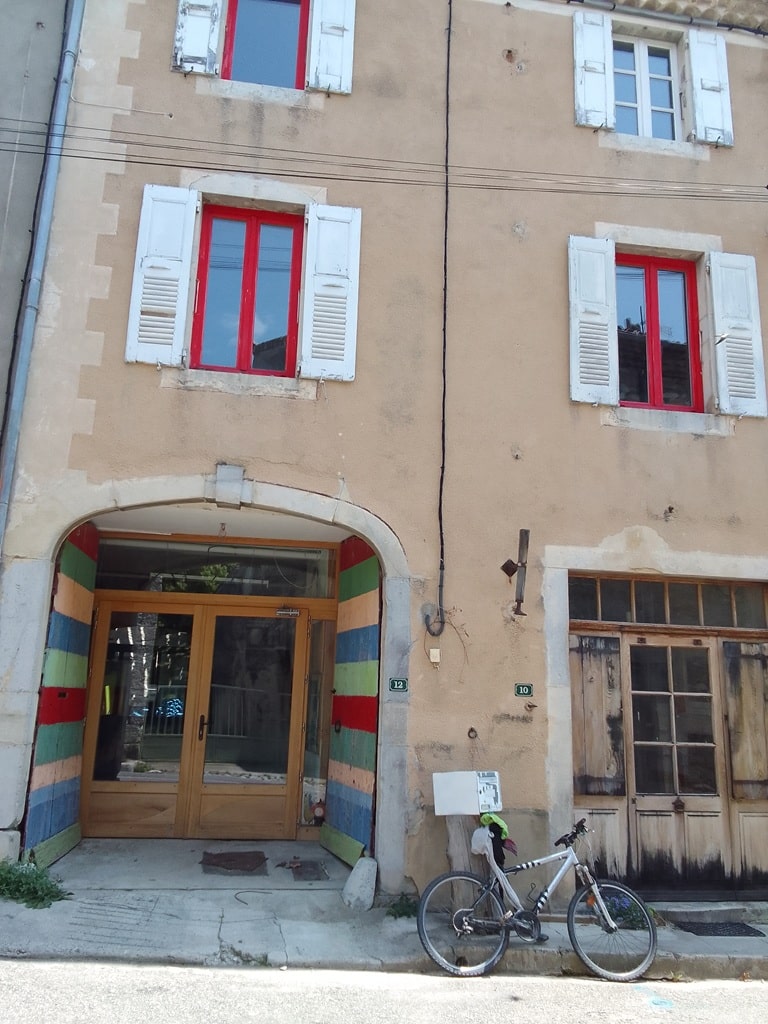
Former holiday hotel with a garden along the Allier, L'Etoile Guest House is located in La Bastide-Puylaurent between Lozere, Ardeche, and the Cevennes in the mountains of Southern France. At the crossroads of GR®7, GR®70 Stevenson Path, GR®72, GR®700 Regordane Way, GR®470 Allier River springs and gorges, GRP® Cevenol, Ardechoise Mountains, Margeride. Numerous loop trails for hiking and one-day biking excursions. Ideal for a relaxing and hiking getaway.
Copyright©gr-infos.com (Authorization for private use only)
To help us maintain and improve GR-Infos.com, a contribution of 2€ is desired via Wero or bank transfer. Thank you!