
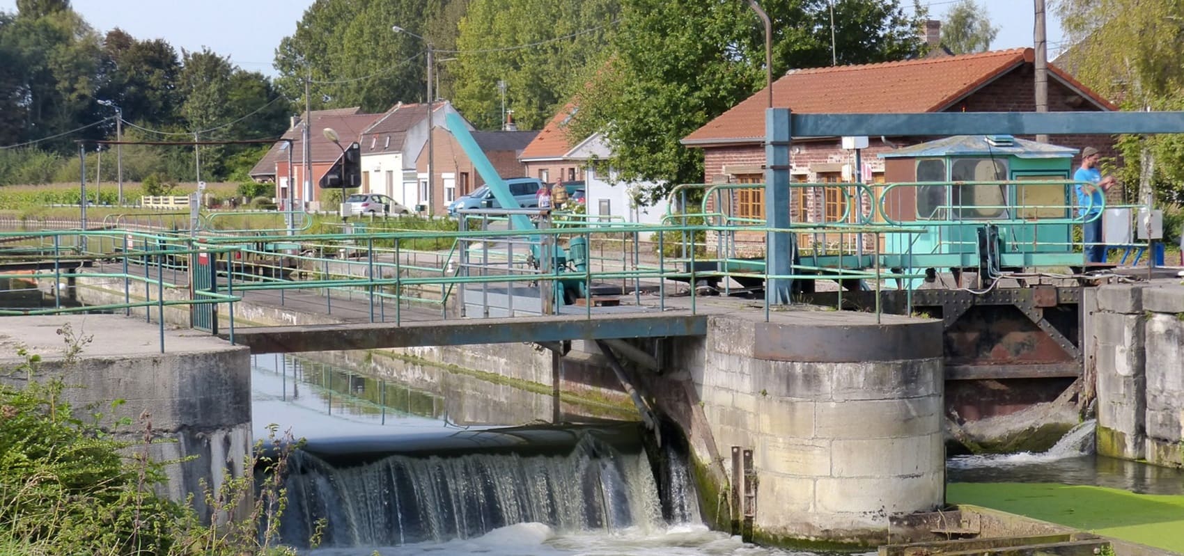
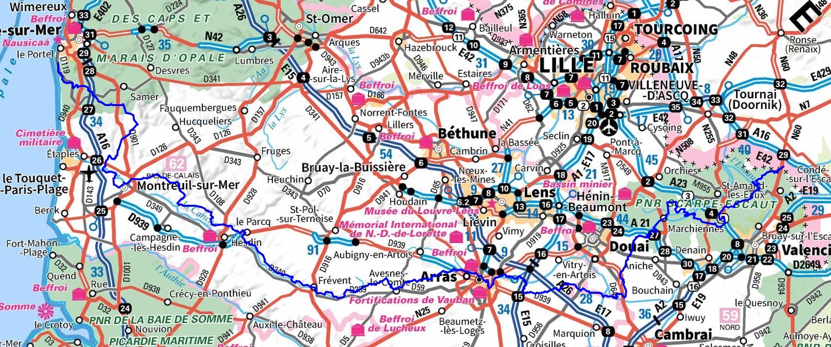
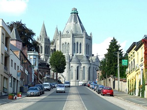
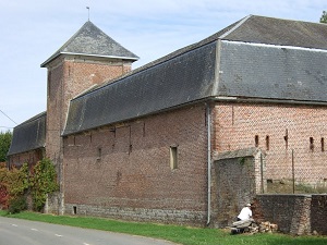
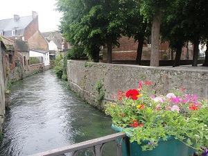
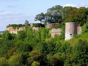
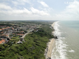
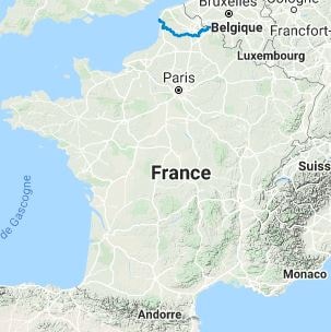
The GR121 long-distance hiking trail connects the Scheldt River valley to the cliffs of the Opal Coast, beginning at the Belgian border and winding its way through the former mining basin and the plains of Artois. Its heritage reflects a rare diversity: from Vauban fortifications at Condé-sur-l'Escaut to industrial remains and World War I memorial sites. Geographically, the trail evolves from a landscape of wetlands and state-owned forests (such as the Marchiennes forest) to the more rugged terrain of the Upper Artois. As it approaches the Pas-de-Calais region, the horizon opens up onto chalk plateaus before culminating in the breathtaking seaside setting of Équihen-Plage. In terms of nature, hikers traverse protected wetlands and vegetated slag heaps that have become havens of biodiversity.
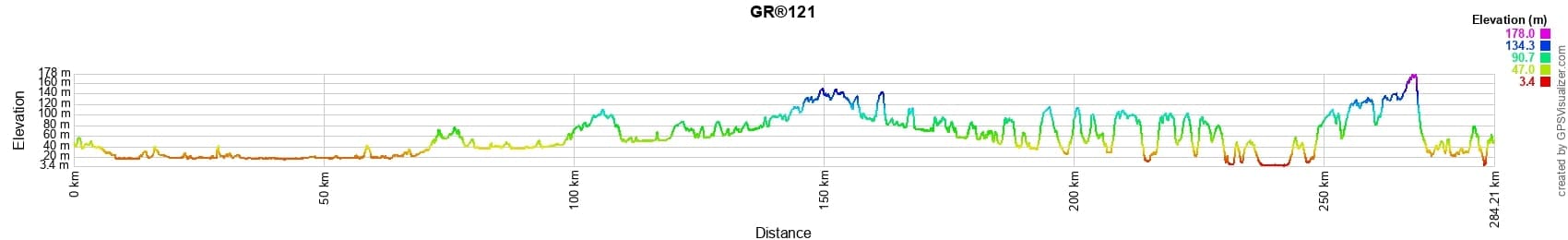
 Distance: 283km, Elevation maximum: 174m, Elevation minimum: 2m, Elevation gain uphill: 1909m
IGN Maps: Arras (2406E). Arras (2406O). Douai (2506E). Rouvroy Vitry-en-Artois (2506O). Conde-sur-l'Escaut (2605E). St-Amand-les-Eaux (2605O). Boulogne-sur-Mer forets du Boulonnais PNR des Caps et Marais d'Opale (2104ET). Le Touquet-Paris-Plage Berck Vallee de la Canche (2105ET). Fruges (2205E) St-Pol-sur-Ternoise (2306O). Arras (2406O). Hesdin - 2206E. Fruges - 2205E.
Nearby paths:
![]() It is advisable to follow the beacons all along your hike and to bring the FFRandonnée topo-guide. You will also find information on MonGR.fr.
It is advisable to follow the beacons all along your hike and to bring the FFRandonnée topo-guide. You will also find information on MonGR.fr.
GR®, PR®, GRP®, and the corresponding signs of markings (white/red, yellow and yellow/red) are trademarks of the French Federation of Hiking. They may not be reproduced without permission. The French Federation of Hiking, state-approved, includes organizations that create and maintain hiking routes on GR®, PR® and GRP®. It publishes topo-guides for these hiking routes. With your donations, support the actions of the thousands of volunteer markers of the FFRandonnée.
GR-Infos.com is an editorial partner of MonGR.fr.
| Return |

Former holiday hotel with a garden along the Allier, L'Etoile Guest House is located in La Bastide-Puylaurent between Lozere, Ardeche, and the Cevennes in the mountains of Southern France. At the crossroads of GR®7, GR®70 Stevenson Path, GR®72, GR®700 Regordane Way, GR®470 Allier River springs and gorges, GRP® Cevenol, Ardechoise Mountains, Margeride. Numerous loop trails for hiking and one-day biking excursions. Ideal for a relaxing and hiking getaway.
Copyright©gr-infos.com (Authorization for private use only)
To help us maintain and improve GR-Infos.com, a contribution of 2€ is desired via Wero or bank transfer. Thank you!