
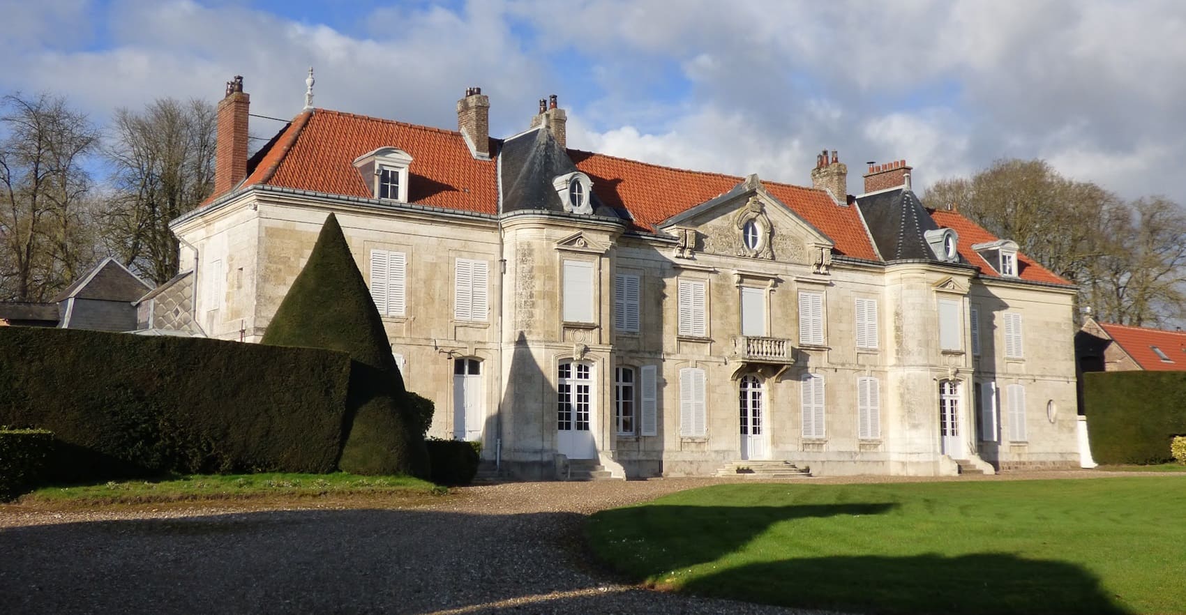
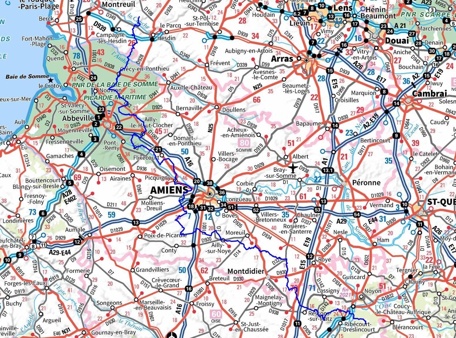
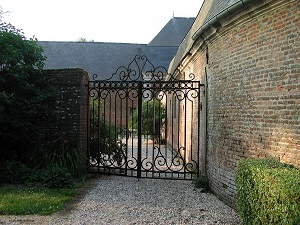
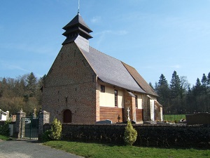
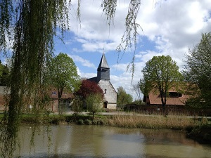
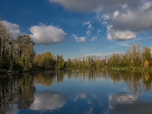
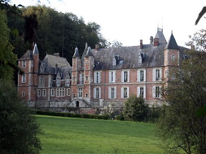
The GR®123 first traverses the Hesdin Forest, followed by agricultural plains and wooded hills, passing through the villages of Mouriez, Voisin, and Wadicourt. The trail then continues into the Somme department, offering diverse landscapes ranging from marshes to dense forests. It crosses the villages of Crécy-en-Ponthieu, Forest-l’Abbaye, Canchy, Drucat, Saint-Riquier, Famechon, Francières, Long, L’Étoile, Bourdon, Picquigny, Saveuse, Clairy-Saulchoix, Rumaisnil, L’Oeuilly, Saint-Sauflieu, Ailly-sur-Noye, Braches, Contoire, Davenescourt, Remaugies, and La Terrière. Finally, the path enters the Oise, through dense forests, deep valleys, and winding rivers, passing by the villages of Mareuil-la-Motte and Chiry-Ourscamp, with their stone houses and ancient churches, offering a glimpse into traditional rural life. Hikers can discover remnants of medieval architecture, Romanesque churches, and castles that illustrate the rich history of Picardy and the Hauts-de-France region.
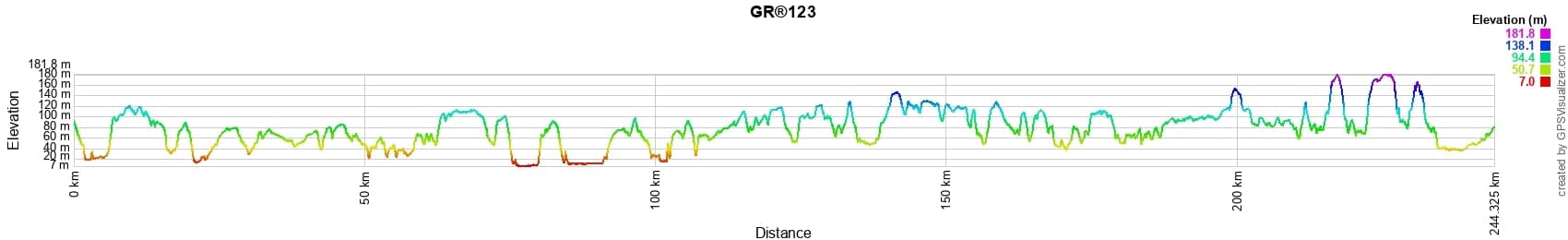
 Distance: 244km, Elevation maximum: 192m, Elevation minimum: 5m, Elevation gain uphill: 2336m
IGN Maps: Le Crotoy Fort-Mahon-Plage Baie de Somme foret de Crecy (2106ET). Fruges (2205E). Hesdin (2206E). Domart-en-Ponthieu (2207E). Abbeville (2207O). Picquigny (2208E). Hallencourt (2208O). Amiens (2308O). Saleux (2309O). Moreuil (2309E). Harbonnieres (2409O). Ressons-sur-Matz (2410E). Montdidier (2410O). Noyon (2510O). Forets de Compiegne et de Laigue (2511OT).
Nearby paths:
![]() It is advisable to follow the beacons all along your hike and to bring the FFRandonnée topo-guide. You will also find information on MonGR.fr.
It is advisable to follow the beacons all along your hike and to bring the FFRandonnée topo-guide. You will also find information on MonGR.fr.
GR®, PR®, GRP®, and the corresponding signs of markings (white/red, yellow and yellow/red) are trademarks of the French Federation of Hiking. They may not be reproduced without permission. The French Federation of Hiking, state-approved, includes organizations that create and maintain hiking routes on GR®, PR® and GRP®. It publishes topo-guides for these hiking routes. With your donations, support the actions of the thousands of volunteer markers of the FFRandonnée.
GR-Infos.com is an editorial partner of MonGR.fr.
| Return |

Former holiday hotel with a garden along the Allier, L'Etoile Guest House is located in La Bastide-Puylaurent between Lozere, Ardeche, and the Cevennes in the mountains of Southern France. At the crossroads of GR®7, GR®70 Stevenson Path, GR®72, GR®700 Regordane Way, GR®470 Allier River springs and gorges, GRP® Cevenol, Ardechoise Mountains, Margeride. Numerous loop trails for hiking and one-day biking excursions. Ideal for a relaxing and hiking getaway.
Copyright©gr-infos.com (Authorization for private use only)
To help us maintain and improve GR-Infos.com, a contribution of 2€ is desired via Wero or bank transfer. Thank you!