
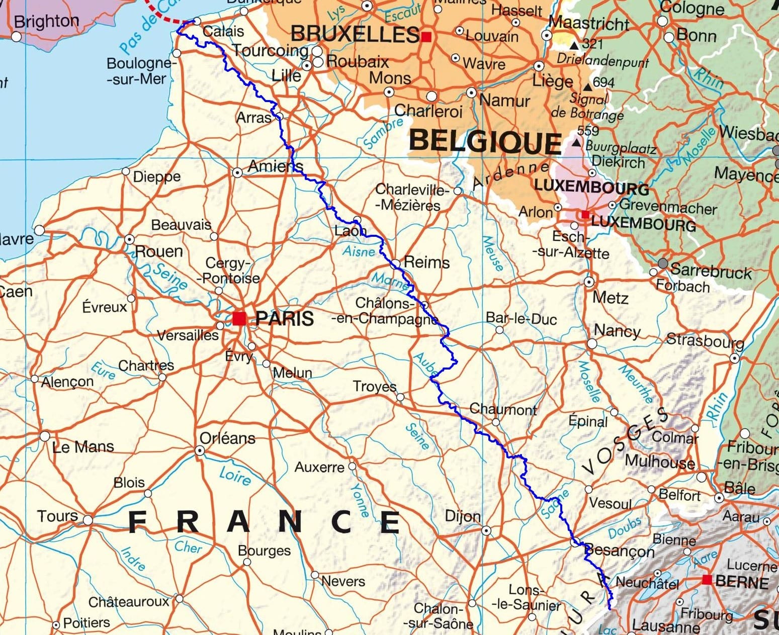
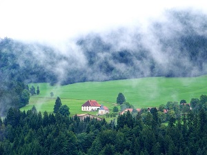
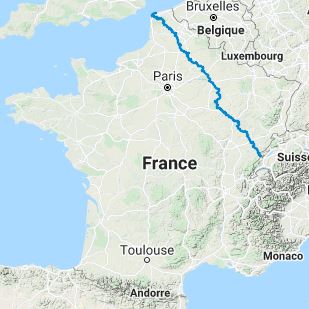
The Via Francigena is a medieval pilgrimage route that connected Canterbury, England, to Rome, Italy. The GR145 represents an essential section of this path, having been traveled by many pilgrims over the centuries. Hikers can admire the remnants of this history through historical monuments, churches, and abbeys that punctuate the route. Combining history, culture, and nature, hikers following in the footsteps of ancient pilgrims discover an authentic France, rich in traditions and varied landscapes. It is a journey that nourishes both the spirit and the body, leaving a lasting imprint on the hearts of those who venture forth.

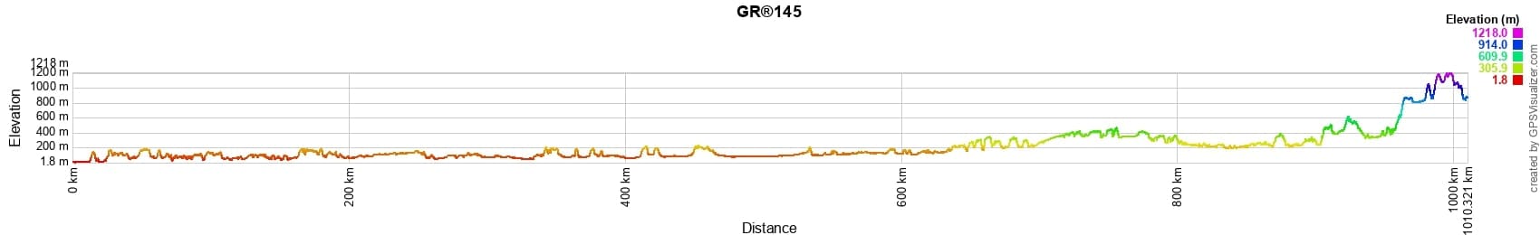

 Distance: 1005km, Elevation maximum: 1218m, Elevation minimum: 3m, Elevation gain uphill: 10695m
IGN Maps: Calais Site des Caps Foret de Guines Pnr des Caps et Marais d'Opale - 2103ET. Gravelines Audruicq - 2203E. Lumbres - 2204E. Saint-Omer - 2304O.
|
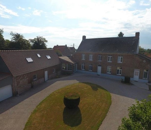
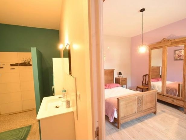
Dohem: Domaine des Tilleuls Bed and Breakfast, M. Magnier, 07 87 26 18 57, 06 47 15 41 19, Email |

|
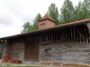
![]() It is advisable to follow the beacons all along your hike and to bring the FFRandonnée topo-guide. You will also find information on MonGR.fr.
It is advisable to follow the beacons all along your hike and to bring the FFRandonnée topo-guide. You will also find information on MonGR.fr.
GR®, PR®, GRP®, and the corresponding signs of markings (white/red, yellow and yellow/red) are trademarks of the French Federation of Hiking. They may not be reproduced without permission. The French Federation of Hiking, state-approved, includes organizations that create and maintain hiking routes on GR®, PR® and GRP®. It publishes topo-guides for these hiking routes. With your donations, support the actions of the thousands of volunteer markers of the FFRandonnée.
GR-Infos.com is an editorial partner of MonGR.fr.
| Return |

Former holiday hotel with a garden along the Allier, L'Etoile Guest House is located in La Bastide-Puylaurent between Lozere, Ardeche, and the Cevennes in the mountains of Southern France. At the crossroads of GR®7, GR®70 Stevenson Path, GR®72, GR®700 Regordane Way, GR®470 Allier River springs and gorges, GRP® Cevenol, Ardechoise Mountains, Margeride. Numerous loop trails for hiking and one-day biking excursions. Ideal for a relaxing and hiking getaway.
Copyright©gr-infos.com (Authorization for private use only)
To help us maintain and improve GR-Infos.com, a contribution of 2€ is desired via Wero or bank transfer. Thank you!