
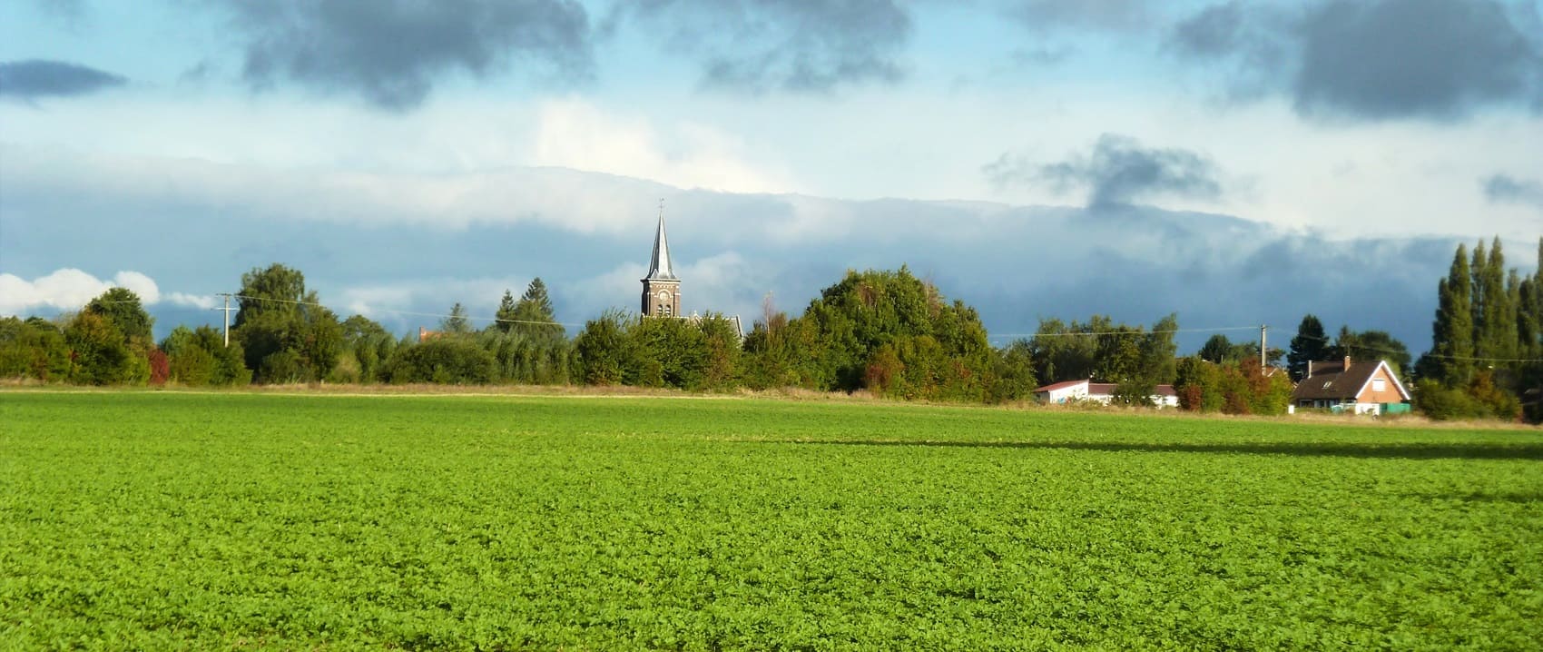
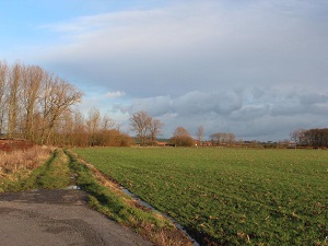
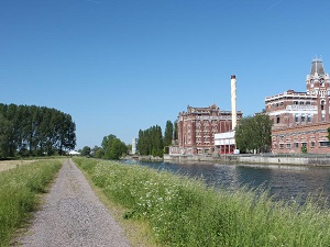
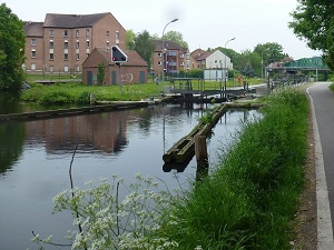
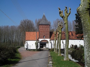
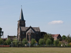
The trail begins with the discovery of the Monts de Flandre (Flanders Hills), where the terrain rises gently above the coastal plain, offering panoramic views of a landscape of hedged fields and hop fields. This first section is marked by a strong Flemish identity, visible in the red brick architecture and the windmills that dot the ridges. Continuing south, the trail crosses the Lys Valley and enters the Scarpe-Escaut Regional Natural Park. Industrial and mining history then takes over from pastoralism: hikers discover a rich hydraulic heritage of canals and protected wetlands. The arrival in Rieulay, in the heart of the mining basin, is spectacular: the landscape is dominated by the Argiles slag heap, now converted into a protected natural area.
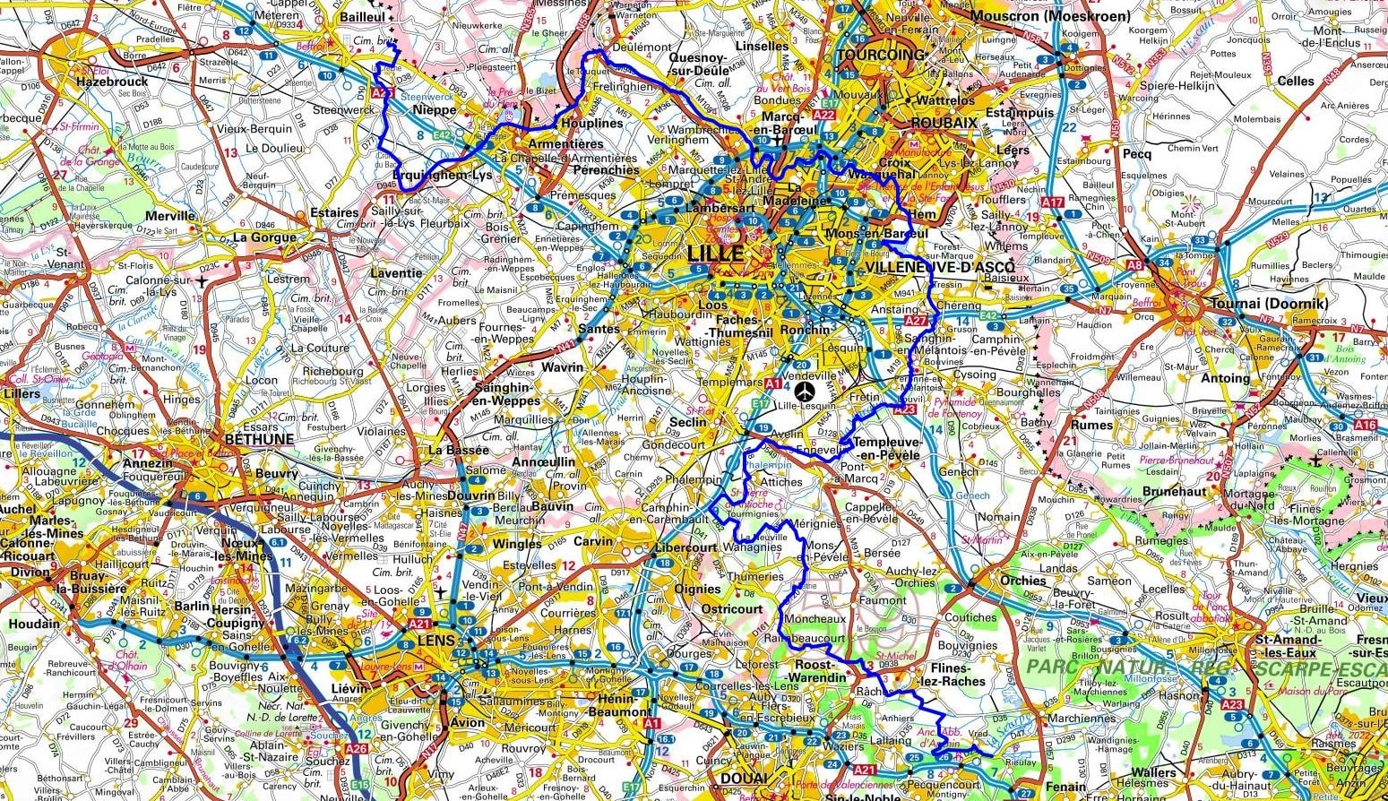
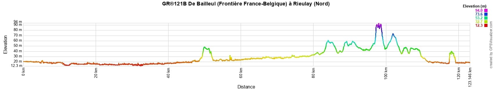
 Distance: 123km, Elevation maximum: 94m, Elevation minimum: 12m, Elevation gain uphill: 324m
IGN Maps: 2403SB - BAILLEUL / STEENVOORDE. 2404SB - ARMENTIERES / HAZEBROUCK. 2504SB - LILLE / ROUBAIX / TOURCOING. 2505SB - HENIN-BEAUMONT / CARVIN-LEFOREST. 2506SB - DOUAI / ROUVROY / VITRY-EN-ARTOIS. CARTE IGN TOP 25 / SERIE BLEUE - 2605SB - SAINT-AMAND-LES-EAUX / CONDE-SUR-L'ESCAUT. 2606SB - VALENCIENNES / DENAIN.
Nearby paths:
![]() It is advisable to follow the beacons all along your hike and to bring the FFRandonnée topo-guide. You will also find information on MonGR.fr.
It is advisable to follow the beacons all along your hike and to bring the FFRandonnée topo-guide. You will also find information on MonGR.fr.
GR®, PR®, GRP®, and the corresponding signs of markings (white/red, yellow and yellow/red) are trademarks of the French Federation of Hiking. They may not be reproduced without permission. The French Federation of Hiking, state-approved, includes organizations that create and maintain hiking routes on GR®, PR® and GRP®. It publishes topo-guides for these hiking routes. With your donations, support the actions of the thousands of volunteer markers of the FFRandonnée.
GR-Infos.com is an editorial partner of MonGR.fr.
| Return |

Former holiday hotel with a garden along the Allier, L'Etoile Guest House is located in La Bastide-Puylaurent between Lozere, Ardeche, and the Cevennes in the mountains of Southern France. At the crossroads of GR®7, GR®70 Stevenson Path, GR®72, GR®700 Regordane Way, GR®470 Allier River springs and gorges, GRP® Cevenol, Ardechoise Mountains, Margeride. Numerous loop trails for hiking and one-day biking excursions. Ideal for a relaxing and hiking getaway.
Copyright©gr-infos.com (Authorization for private use only)
To help us maintain and improve GR-Infos.com, a contribution of 2€ is desired via Wero or bank transfer. Thank you!