
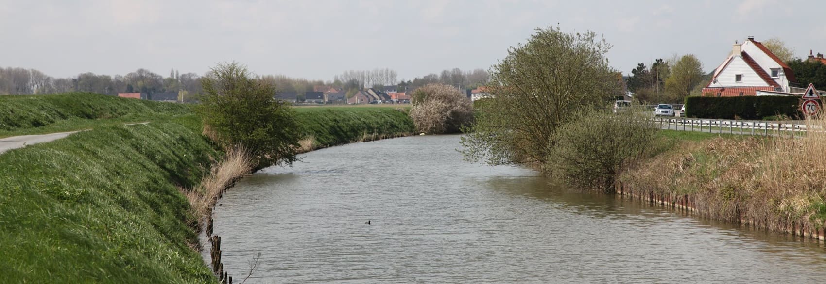
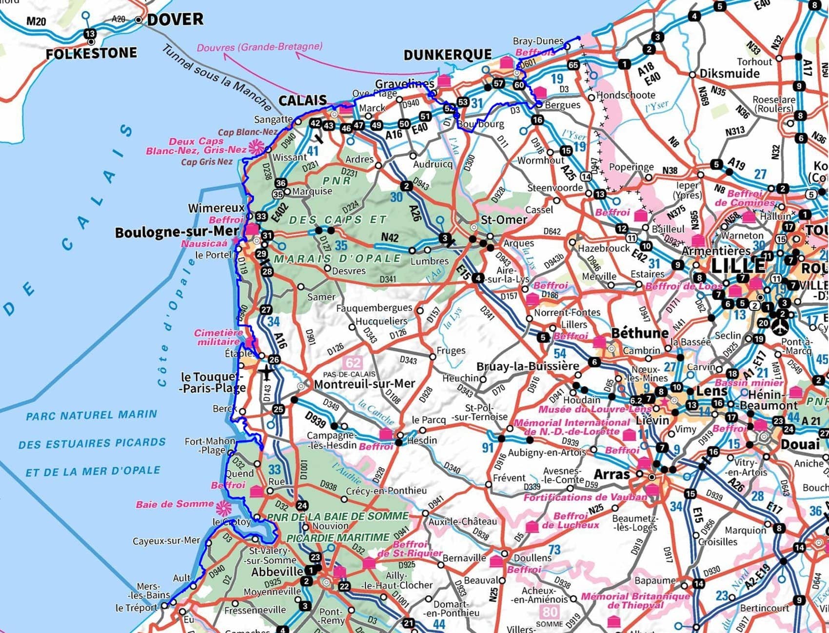
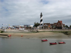
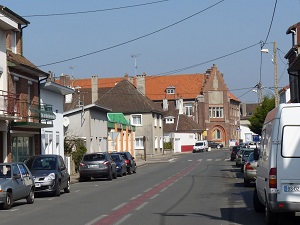
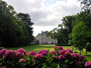
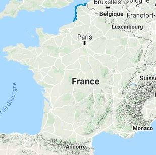
The GR120 long-distance hiking trail connects the Belgian border to the gateway of Normandy. Historically, this route was used by customs officers to patrol the coastline and combat smuggling. The trail offers a unique diversity of landscapes: from the vast dune systems of the north to the vertiginous cliffs of the Opal Coast. Hikers traverse exceptional natural sites, such as Cap Gris-Nez and Cap Blanc-Nez. The built heritage enriches the experience, blending the Belle Époque seaside architecture of Malo-les-Bains, fortified citadels like that of Boulogne-sur-Mer, and the poignant remains of the Atlantic Wall. Between the lively fishing ports and the bays of the Authie and Somme rivers, veritable sanctuaries for seal colonies, the trail offers a unique perspective.

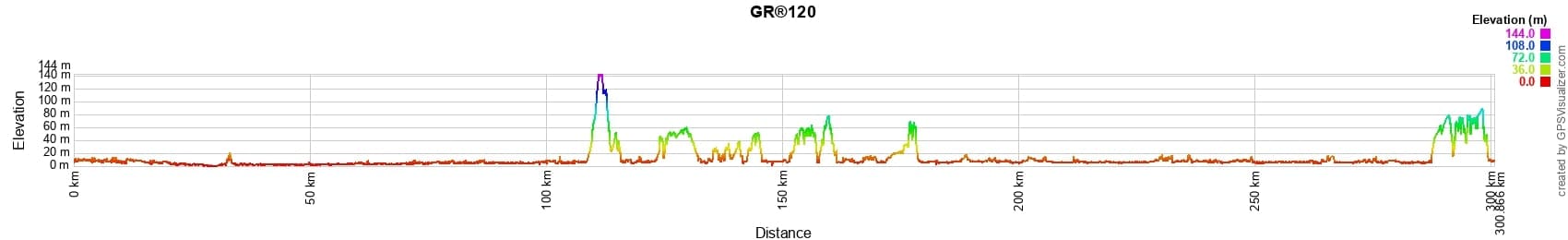
 Distance: 299km, Elevation maximum: 142m, Elevation minimum: 0m, Elevation gain uphill: 1217m
IGN Maps: Calais Site des Caps foret de Guînes PNR des Caps et Marais d'Opale (2103ET). Gravelines Audruicq (2203E). Dunkerque (2302O). Hondschoote (2402O). Boulogne-sur-Mer forets du Boulonnais PNR des Caps et Marais d'Opale (2104ET). Le Touquet-Paris-Plage Berck Vallee de la Canche (2105ET). Le Crotoy Fort-Mahon-Plage Baie de Somme foret de Crecy (2106ET).
|
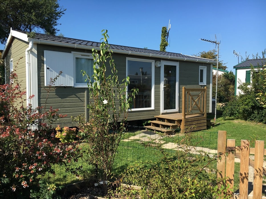
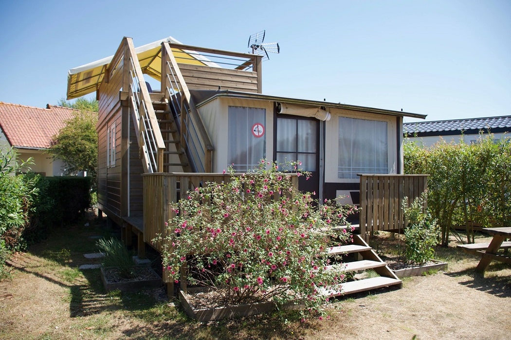
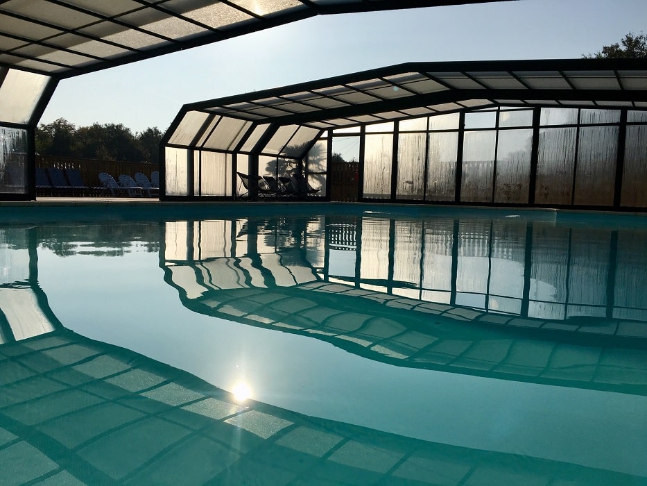
Groffliers: Camping caravaning de la Molliere ***. M. Limantour, 03 21 84 40 46. Facebook, Instagram, Email. Located in the heart of the Baie d'Authie, little sister of the Baie de Somme, the Molliere caravan park offers accommodation or transit places (limited number) in a family setting on your hiking trip. One night stays are possible depending on the periods and availability. See you soon ;-). |
|
Nearby paths:
![]() It is advisable to follow the beacons all along your hike and to bring the FFRP topo-guide. You will also find information on MonGR.fr.
It is advisable to follow the beacons all along your hike and to bring the FFRP topo-guide. You will also find information on MonGR.fr.
® The GR® GRP® PR acronyms, as well as the corresponding trail signs (white/red, yellow and yellow/red), are trademarks of the Fédération Française de la Randonnée Pédestre. They may not be reproduced without its permission. The FFRP, recognized as being of public utility, groups together the associations which create and maintain the hiking routes on the GR® GRP® PR. It publishes topo-guides for these hiking routes. With your donations, support the actions of the thousands of volunteer markers of the FFRP.
GR-Infos.com is an editorial partner of MonGR.fr.
| Return |

Former holiday hotel with a garden along the Allier, L'Etoile Guest House is located in La Bastide-Puylaurent between Lozere, Ardeche and the Cevennes in the mountains of Southern France. At the crossroads of GR®7, GR®70 Stevenson trail, GR®72, GR®700 Regordane way, GR®470 Springs and Gorges of the Allier river, GRP® Cevenol, Ardechoise mountain, Margeride. Many loop routes for hiking and cycling for a day. Ideal for a relaxing and hiking stay.
Copyright©gr-infos.com (Authorization of use for private purposes only)
To help us maintain and improve GR-Infos.com, a contribution of 2€ is desired via Wero or bank transfer. Thank you!