
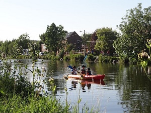
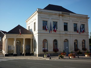
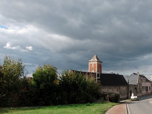
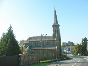
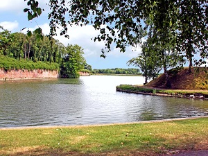
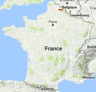
This trail is distinguished by its course following the water's edge, beginning in the Sensée Valley, a remarkable natural area of alternating ponds, marshes, and reedbeds. This wetland, rich in protected biodiversity, offers a precious refuge for migratory birds and contrasts sharply with the vast agricultural plains of neighboring Artois. The route follows the evolution of communication routes, running alongside the banks of the Escaut Canal. This canal, whose construction dates back to the 18th century to facilitate the transport of coal and goods, testifies to the strategic importance of water in the region's industrial and commercial development. The landscape then transforms, leaving the waterways behind for the gently rolling hills of Hainaut. The journey culminates in Le Quesnoy, a town of art and history encircled by ramparts and fortifications erected by Vauban.


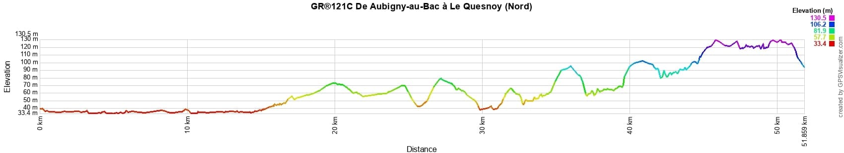
 Distance: 51,75km, Elevation maximum: 132m, Elevation minimum: 0m, Elevation gain uphill: 250m
IGN Maps: Douai (2506E). Valenciennes (2606E). Denain (2606O). Foret de Mormal (2706OT).
Nearby paths:
![]() It is advisable to follow the beacons all along your hike and to bring the FFRandonnée topo-guide. You will also find information on MonGR.fr.
It is advisable to follow the beacons all along your hike and to bring the FFRandonnée topo-guide. You will also find information on MonGR.fr.
GR®, PR®, GRP®, and the corresponding signs of markings (white/red, yellow and yellow/red) are trademarks of the French Federation of Hiking. They may not be reproduced without permission. The French Federation of Hiking, state-approved, includes organizations that create and maintain hiking routes on GR®, PR® and GRP®. It publishes topo-guides for these hiking routes. With your donations, support the actions of the thousands of volunteer markers of the FFRandonnée.
GR-Infos.com is an editorial partner of MonGR.fr.
| Return |

Former holiday hotel with a garden along the Allier, L'Etoile Guest House is located in La Bastide-Puylaurent between Lozere, Ardeche, and the Cevennes in the mountains of Southern France. At the crossroads of GR®7, GR®70 Stevenson Path, GR®72, GR®700 Regordane Way, GR®470 Allier River springs and gorges, GRP® Cevenol, Ardechoise Mountains, Margeride. Numerous loop trails for hiking and one-day biking excursions. Ideal for a relaxing and hiking getaway.
Copyright©gr-infos.com (Authorization for private use only)
To help us maintain and improve GR-Infos.com, a contribution of 2€ is desired via Wero or bank transfer. Thank you!