
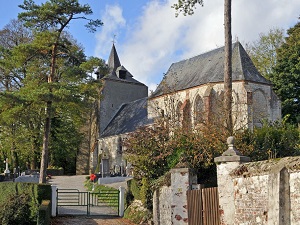
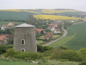
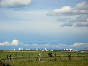
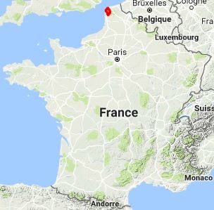
Starting in Peuplingues, the trail winds beautifully through the Caps et Marais d'Opale Regional Natural Park, first plunging deeply into the idyllic bocage countryside. The route smoothly links Hames-Boucres and Desvres—a town famous for its exquisite earthenware—through gently rolling landscapes consisting of dense forests and verdant, open meadows. In Wierre-au-Bois and La Capelle, the striking limestone architecture bears powerful witness to a rich, enduring rural past. As you steadily approach Ambleteuse, the scenery changes dramatically: hikers suddenly discover the rugged coastline and its historic fort perched right in the sea, before finally reaching the magnificent, celebrated sites of the Grand Site des Deux-Caps. The bracing coastal path then leads onward to Audinghen and Wissant, a true pearl of the Opal Coast perfectly nestled between Cap Gris-Nez and Cap Blanc-Nez. Here, nature remains beautifully wild, shifting dynamically between shifting sand dunes, resilient aero-haline grasslands, and vertiginous chalk cliffs that powerfully overlook the strait, offering breathtaking, clear views of the distant English coast.
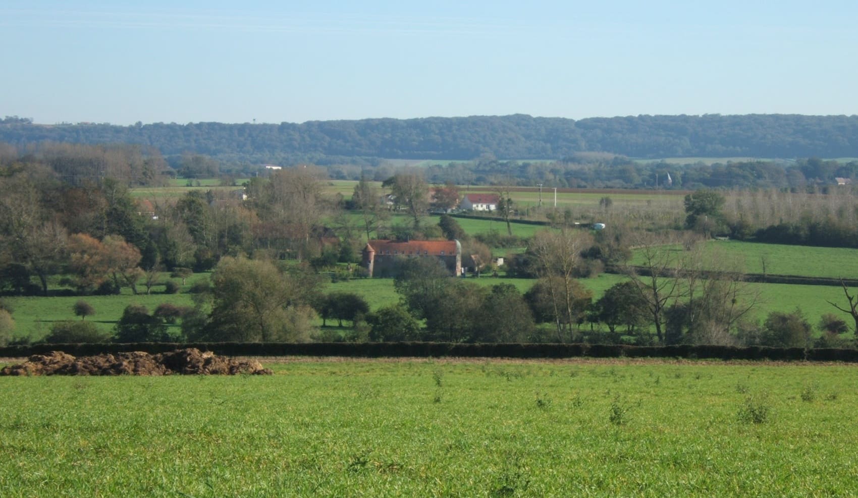
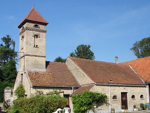
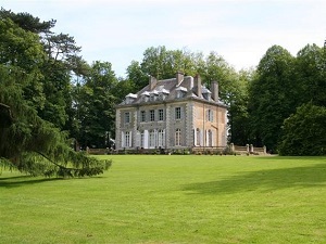
The Boulonnais region, a true jewel of the Pas-de-Calais, is a striking land of contrasts where the stark, white cliffs of the Opal Coast rise majestically against the soft, verdant hills of the hinterland. Clearly dominated by the impressive medieval silhouette of the upper town of Boulogne-sur-Mer, this region bears the indelible marks of a rich maritime and military history, spanning everything from Napoleon's ambitious camp to the enduring remnants of the Second World War. The area's built heritage, wonderfully varied from solid stone churches to robust, fortified farms, is perfectly set within a picturesque landscape of hedged fields and sweeping valleys highly reminiscent of Normandy. As for the natural environment, the Grand Site des Deux-Caps (comprising Cap Gris-Nez and Cap Blanc-Nez) offers breathtaking, panoramic views of the English coast amidst beautifully unspoiled moorland. Wildlife also abounds here, ranging from calm grey seals frequently seen basking on the coastal sandbanks to majestic migratory birds soaring effortlessly over the rich estuaries.
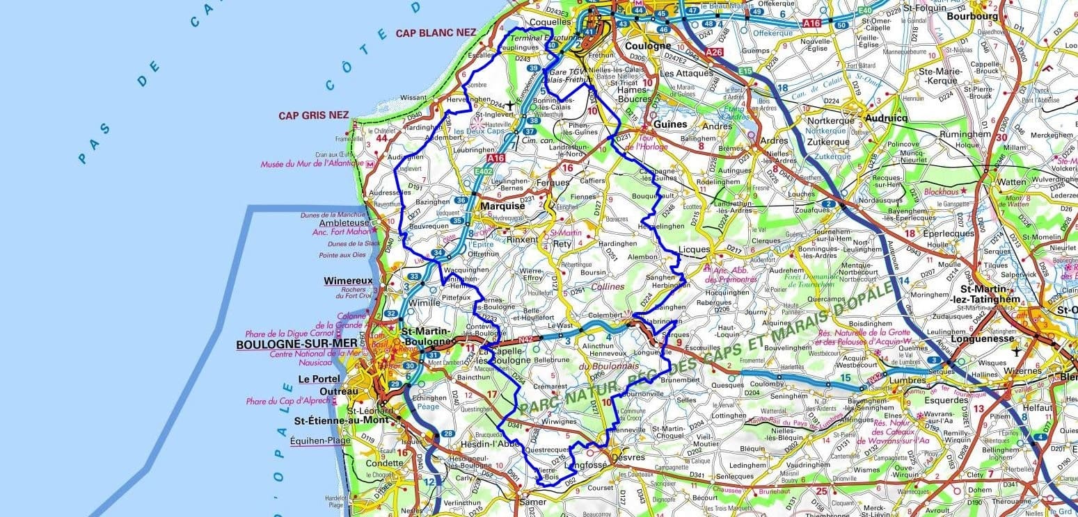
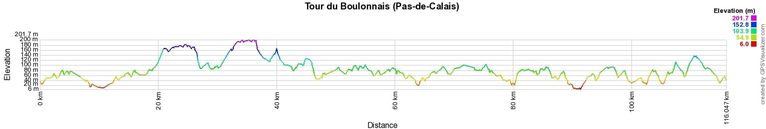
 Distance: 116km, Elevation maximum: 201m, Elevation minimum: 8m, Elevation gain uphill: 1287m
IGN Maps: Calais Site des Caps foret de Guines PNR des Caps and Marais d'Opale (2103ET). Boulogne-sur-Mer forets du Boulonnais PNR des Caps and Marais d'Opale (2104ET). Lumbres (2204E).
Nearby paths:
![]() It is advisable to follow the beacons all along your hike and to bring the FFRandonnée topo-guide. You will also find information on MonGR.fr.
It is advisable to follow the beacons all along your hike and to bring the FFRandonnée topo-guide. You will also find information on MonGR.fr.
GR®, PR®, GRP® and the corresponding markings are trademarks of the French Federation of Hiking. They may not be reproduced without permission. The French Federation of Hiking, state-approved, includes organizations that maintain hiking routes. It publishes guides for these routes. With your donations, support the actions of the thousands of volunteer markers of the FFRandonnée.
GR-Infos.com is an editorial partner of MonGR.fr.
| Return |

Former holiday hotel with a garden along the Allier, L'Etoile Guest House is located in La Bastide-Puylaurent between Lozere, Ardeche, and the Cevennes in the mountains of Southern France. At the crossroads of GR®7, GR®70 Stevenson Path, GR®72, GR®700 Regordane Way, GR®470 Allier River springs and gorges, GRP® Cevenol, Ardechoise Mountains, Margeride. Numerous loop trails for hiking and one-day biking excursions. Ideal for a relaxing and hiking getaway.
Copyright©gr-infos.com (Authorization for private use only)
To help us maintain and improve GR-Infos.com, a contribution of 2€ is desired via Wero or bank transfer. Thank you!