
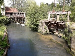
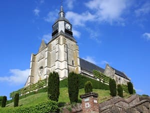
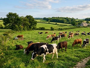
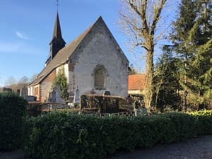
Starting from Hesdin-la-Forêt, an ancient city famously founded by Emperor Charles V, the trail plunges deeply into the state forest before reaching Vieil-Hesdin, a fascinating archaeological site showcasing vanished medieval splendor. The route peacefully follows the Canche river, passing smoothly through the charming villages of Fillièvres and Boubers-sur-Canche. In Frévent, the historic Cercamp Abbey proudly bears witness to 18th-century architectural elegance. Leaving Artois for the lush Authie valley, the landscape dynamically transforms into a rich mosaic of wet meadows and stark limestone hillsides. In Auxi-le-Château, the imposing ruins of the ancient fortress overlook the river, offering a unique and commanding viewpoint over what was once a historical border between the Spanish Netherlands and France. The path then gently winds through Beauvoir-Wavans and Labroye, where traditional watermills and classic cob houses (torchis) beautifully reflect a deeply preserved rural way of life.
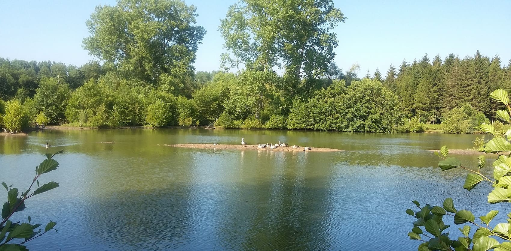
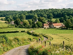
Nestled gracefully in the south of Pas-de-Calais, the Canche and Authie valleys offer wonderfully bucolic landscapes where flowing water and vibrant greenery reign supreme. These coastal rivers have patiently shaped winding, picturesque valleys dotted with shady poplar groves, expansive marshes, and ecologically rich wet meadows. Impressive historical heritage is found everywhere, highlighted by the striking medieval town of Montreuil-sur-Mer with its remarkably intact ramparts, and Hesdin, a former, elegant residence of the Dukes of Burgundy. The region's sacred architecture shines through brilliantly at Valloires Abbey, famed for its renowned, meticulously kept gardens, as well as the Saint-Riquier Abbey, widely considered a masterpiece of Flamboyant Gothic style. Nature expresses itself fully in the local nature reserves, where elegant storks, patient herons, and preserved wetland flora flourish abundantly. Historic watermills, enduring witnesses to centuries of milling activity, punctuate the steady course of these rivers that once served as vital borders between warring kingdoms. Ultimately, these valleys offer a serene "Little Switzerland of the North" atmosphere, making them ideal for slow, mindful hiking and the quiet contemplation of traditional timber-framed and brick villages.
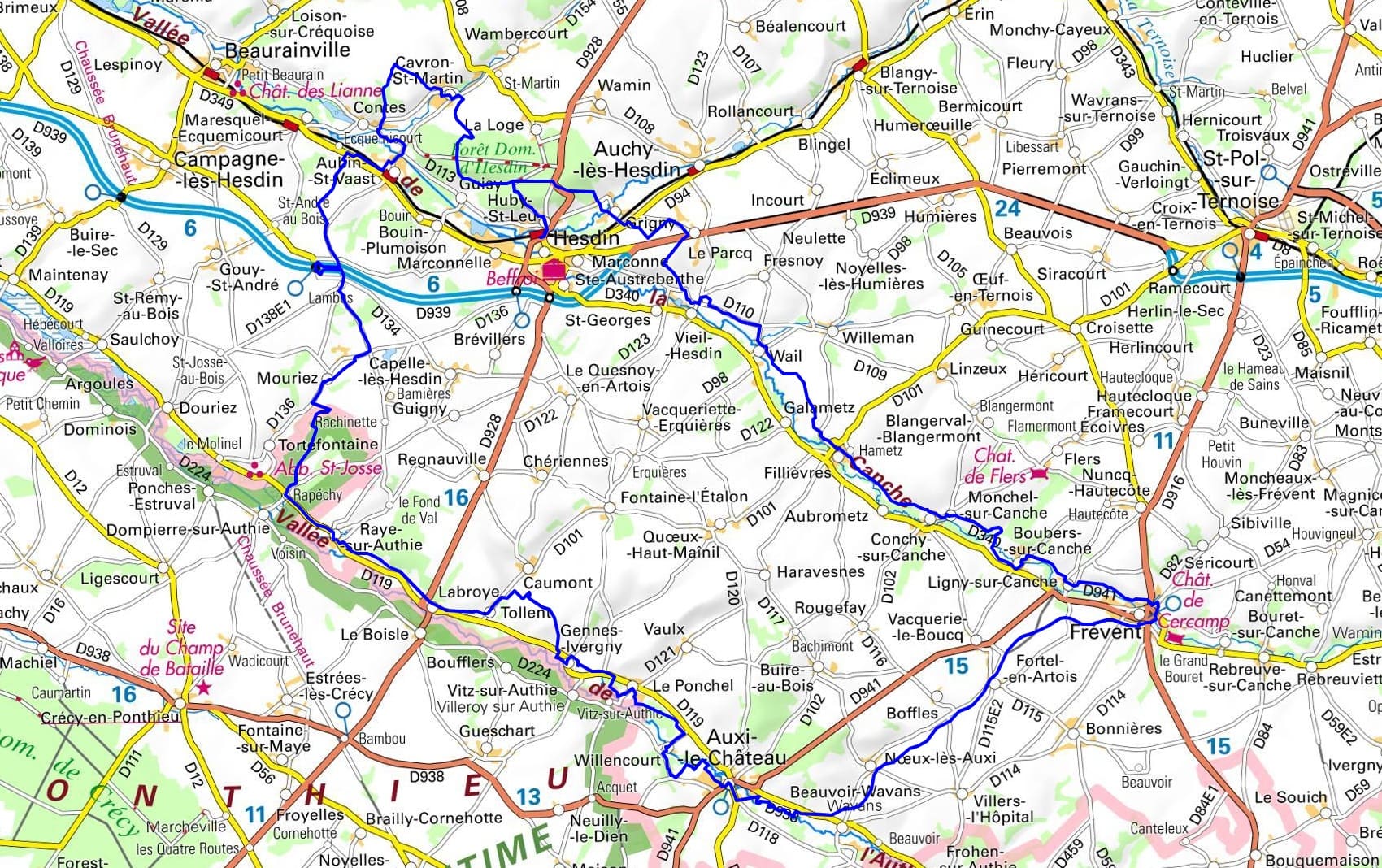
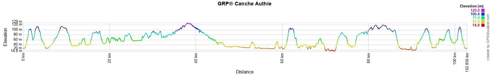
 Distance: 102km (approx. 63 miles), Max altitude: 128m, Min altitude: 15m, Total elevation gain: 1128m
Nearby paths:
![]() It is advisable to follow the beacons all along your hike and to bring the FFRandonnée topo-guide. You will also find information on MonGR.fr.
It is advisable to follow the beacons all along your hike and to bring the FFRandonnée topo-guide. You will also find information on MonGR.fr.
GR®, PR®, GRP® and the corresponding markings are trademarks of the French Federation of Hiking. They may not be reproduced without permission. The French Federation of Hiking, state-approved, includes organizations that maintain hiking routes. It publishes guides for these routes. With your donations, support the actions of the thousands of volunteer markers of the FFRandonnée.
GR-Infos.com is an editorial partner of MonGR.fr.
| Return |

Former holiday hotel with a garden along the Allier, L'Etoile Guest House is located in La Bastide-Puylaurent between Lozere, Ardeche, and the Cevennes in the mountains of Southern France. At the crossroads of GR®7, GR®70 Stevenson Path, GR®72, GR®700 Regordane Way, GR®470 Allier River springs and gorges, GRP® Cevenol, Ardechoise Mountains, Margeride. Numerous loop trails for hiking and one-day biking excursions. Ideal for a relaxing and hiking getaway.
Copyright©gr-infos.com (Authorization for private use only)
To help us maintain and improve GR-Infos.com, a contribution of 2€ is desired via Wero or bank transfer. Thank you!