
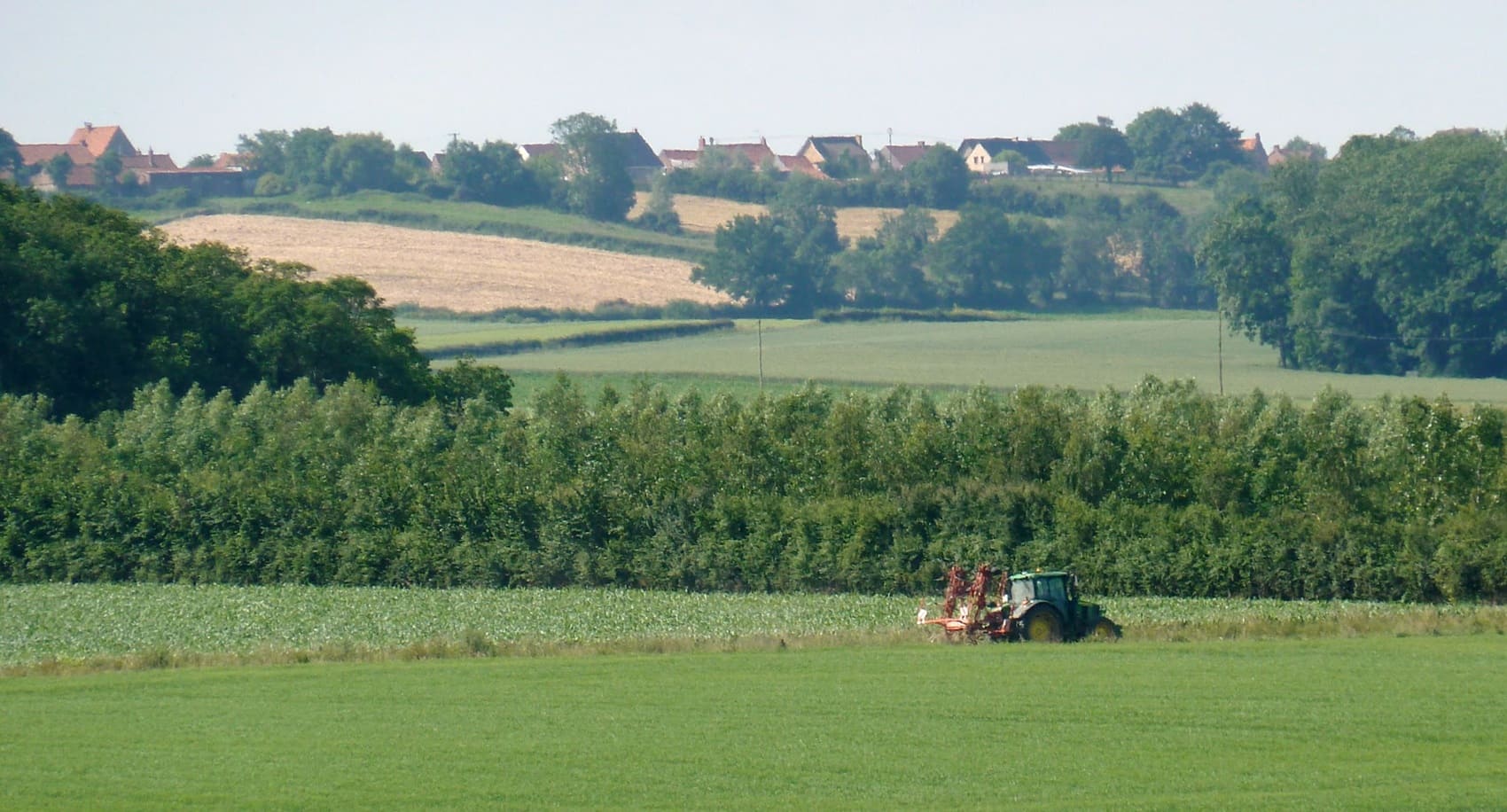
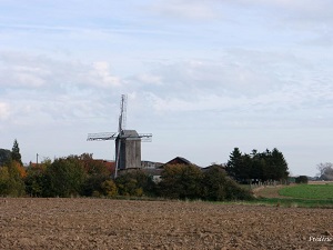
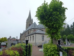
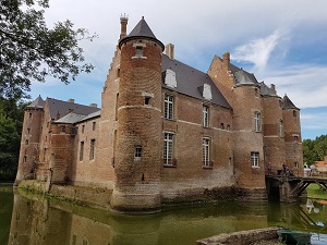
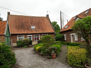
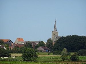
The GR130 offers a unique immersion into inland Flanders, linking the Belgian border to the source of the Yser River. This border route is profoundly marked by a geography of fertile plains and wetlands, where water reigns supreme through a dense network of drainage ditches. The trail follows the traces of cross-border trade and world conflicts, traversing lands that were the scene of the Battle of the Yser. Hikers will discover villages with typical onion-domed church steeples, red-brick farms, and windmills dotting the horizon. In terms of nature, the path meanders between pollarded willows and reedbeds, providing refuge for a diverse birdlife, from grey herons to marsh harriers. As you approach Buysscheure, the terrain softens with the first foothills of the Flanders Hills, offering panoramic views of a preserved bocage landscape.
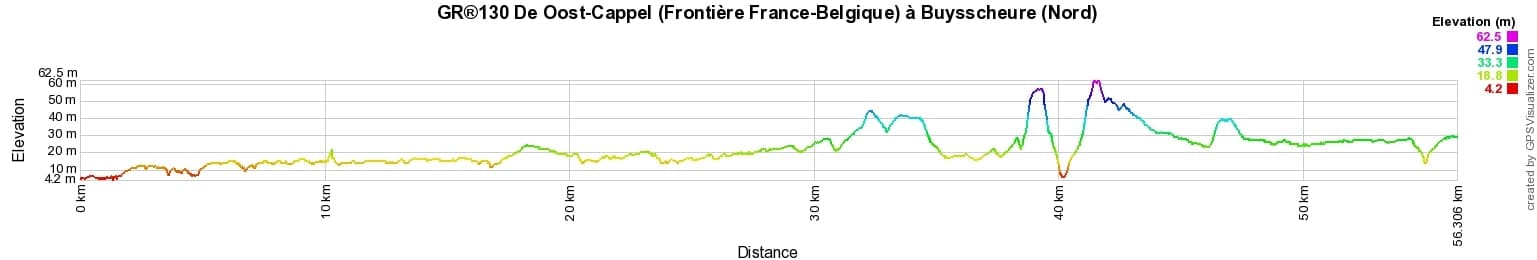
 Distance: 56km, Elevation maximum: 62m, Elevation minimum: 5m, Elevation gain uphill: 170m
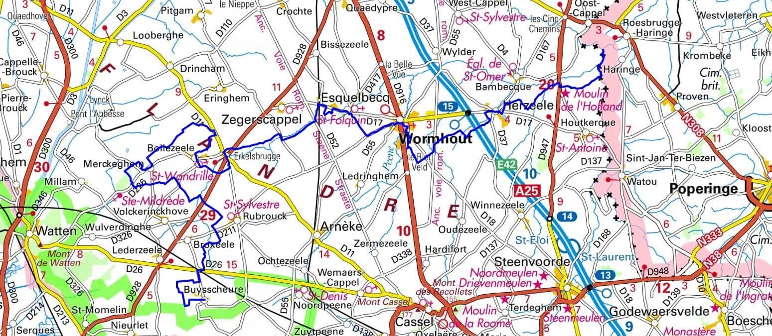
IGN Maps: 2303SB - WORMHOUT / CASSEL / WATTEN. 2402SB - HONDSCHOOTE / BERGUES. 2403SB - BAILLEUL / STEENVOORDE.
Nearby paths:
![]() It is advisable to follow the beacons all along your hike and to bring the FFRandonnée topo-guide. You will also find information on MonGR.fr.
It is advisable to follow the beacons all along your hike and to bring the FFRandonnée topo-guide. You will also find information on MonGR.fr.
GR®, PR®, GRP®, and the corresponding signs of markings (white/red, yellow and yellow/red) are trademarks of the French Federation of Hiking. They may not be reproduced without permission. The French Federation of Hiking, state-approved, includes organizations that create and maintain hiking routes on GR®, PR® and GRP®. It publishes topo-guides for these hiking routes. With your donations, support the actions of the thousands of volunteer markers of the FFRandonnée.
GR-Infos.com is an editorial partner of MonGR.fr.
| Return |

Former holiday hotel with a garden along the Allier, L'Etoile Guest House is located in La Bastide-Puylaurent between Lozere, Ardeche, and the Cevennes in the mountains of Southern France. At the crossroads of GR®7, GR®70 Stevenson Path, GR®72, GR®700 Regordane Way, GR®470 Allier River springs and gorges, GRP® Cevenol, Ardechoise Mountains, Margeride. Numerous loop trails for hiking and one-day biking excursions. Ideal for a relaxing and hiking getaway.
Copyright©gr-infos.com (Authorization for private use only)
To help us maintain and improve GR-Infos.com, a contribution of 2€ is desired via Wero or bank transfer. Thank you!