
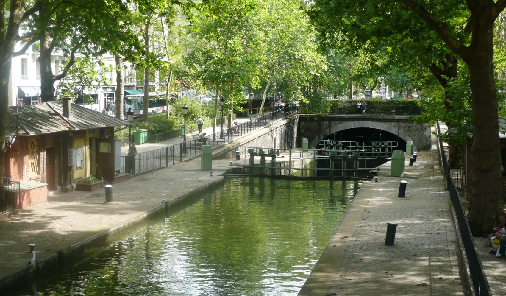
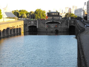
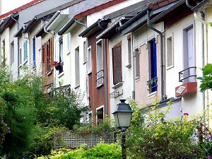
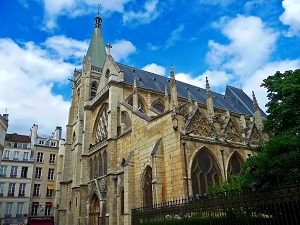
Starting at the Buttes-Chaumont, a former quarry site transformed into a romantic gem under Napoleon III, the route descends towards the canal, passing through a succession of peaceful havens such as the Jules Ferry and Léopold-Achille squares, reflecting the elegance of the Marais district. The heritage becomes more intimate at the Georges Caïn square or the Roger Priou-Valjean garden, before paying homage to the memory of the Île de la Cité. Facing the majestic Notre-Dame Cathedral, the walker crosses to the Left Bank, stepping back in time towards the picturesque Place de la Contrescarpe. The route then runs alongside the Saint-Médard church, gateway to the famous Rue Mouffetard, before entering the tranquil René Le Gall square, nestled on the former bed of the Bièvre River. Urban nature reclaims its place in this woodland-like garden, a true transition before the final arrival.
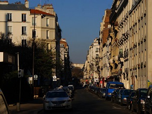
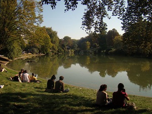
Crossing Paris from north to south, from Porte de la Villette to Parc Montsouris, is a route that traverses neighborhoods with strikingly contrasting identities. The landscape evolves from the modern Parc de la Villette, marked by its industrial past and canals, to the tranquil, rolling landscape of Parc Montsouris, created under Haussmann on the site of the former fortifications. The history of this crossing is one of the urban transformation of the Parisian periphery, from the industrial era to the creation of modern green spaces. The route runs alongside canals, home to a diverse aquatic and urban fauna, including numerous migratory and resident birds. The flora presents a contrast between the modern landscaping of La Villette and the centuries-old trees of Montsouris (cedars, sequoias), testaments to the rich urban botany.
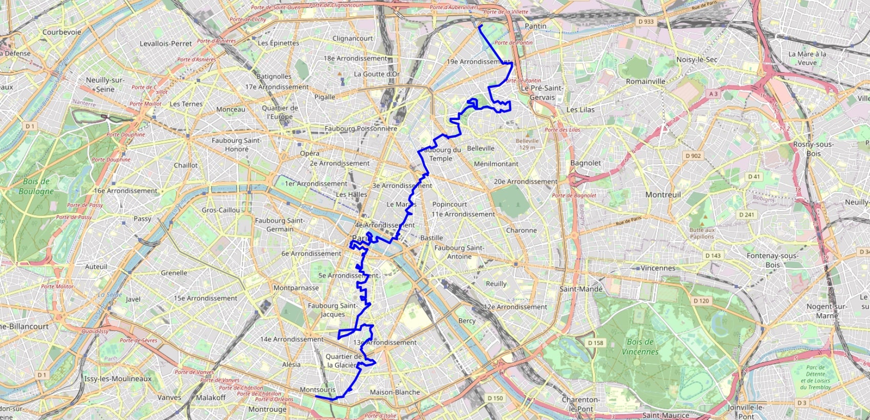
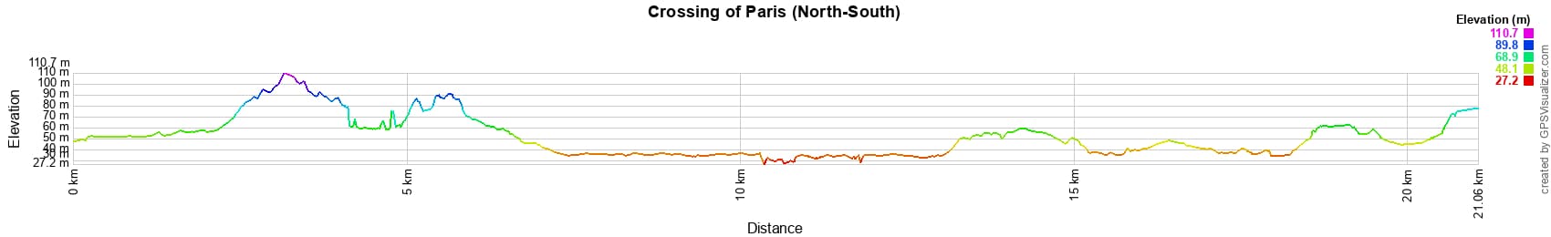
 Distance: 21km, Elevation maximum: 94m, Elevation minimum: 30m, Elevation gain uphill: 148m
IGN Maps: 2314OT - PARIS FORÊT DE MEUDON FORÊT DE FAUSSES REPOSES.
Nearby paths:
![]() It is advisable to follow the beacons all along your hike and to bring the FFRandonnée topo-guide. You will also find information on MonGR.fr.
It is advisable to follow the beacons all along your hike and to bring the FFRandonnée topo-guide. You will also find information on MonGR.fr.
GR®, PR®, GRP® and the corresponding markings are trademarks of the French Federation of Hiking. They may not be reproduced without permission. The French Federation of Hiking, state-approved, includes organizations that maintain hiking routes. It publishes guides for these routes. With your donations, support the actions of the thousands of volunteer markers of the FFRandonnée.
GR-Infos.com is an editorial partner of MonGR.fr.
| Return |

Former holiday hotel with a garden along the Allier, L'Etoile Guest House is located in La Bastide-Puylaurent between Lozere, Ardeche, and the Cevennes in the mountains of Southern France. At the crossroads of GR®7, GR®70 Stevenson Path, GR®72, GR®700 Regordane Way, GR®470 Allier River springs and gorges, GRP® Cevenol, Ardechoise Mountains, Margeride. Numerous loop trails for hiking and one-day biking excursions. Ideal for a relaxing and hiking getaway.
Copyright©gr-infos.com (Authorization for private use only)
To help us maintain and improve GR-Infos.com, a contribution of 2€ is desired via Wero or bank transfer. Thank you!