
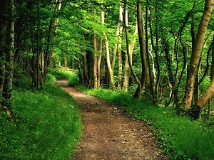
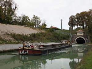
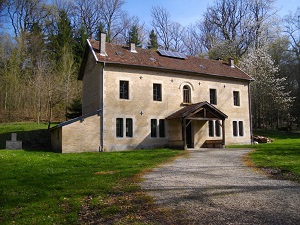
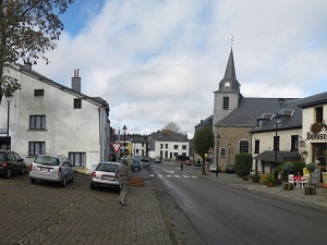
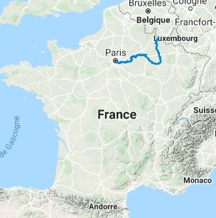
The GR®14, the Ardennes Trail, is a long-distance hiking route that connects the Belgian Ardennes (Corbion) to the Champagne region of France, ending near Lac du Der (Giffaumont-Champaubert). The landscape is initially characterised by the dense forests and steep-sided valleys of the Ardennes (schist and sandstone), before softening towards the plains and hedged farmlands of Champagne. The flora is dominated by large forests of deciduous and coniferous trees, creating a wild environment conducive to solitude. The history of the trail testifies to the strategic importance of this border area, marked by medieval legends and the traces of world conflicts. The fauna is particularly rich in game (deer, wild boar) in the Ardennes massif, and is further enhanced by remarkable birdlife near the end of the trail at Lac du Der.

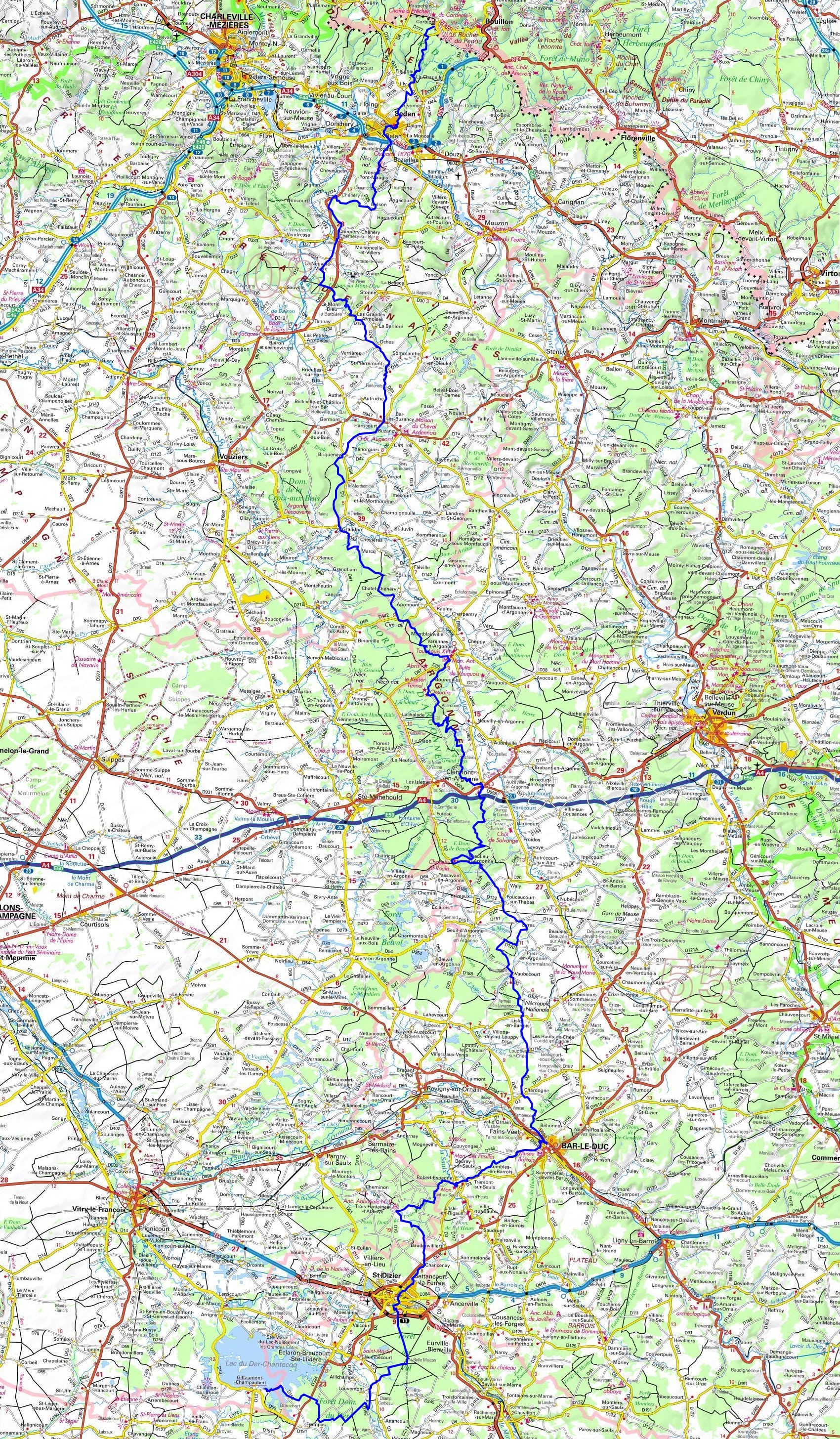
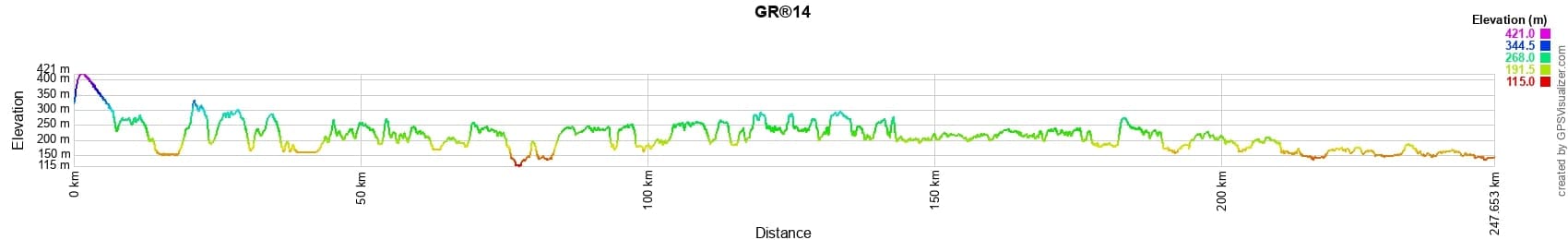
 Distance: 247km, Elevation maximum: 420m, Elevation minimum: 115m, Elevation gain uphill: 3084m
Nearby paths:
![]() It is advisable to follow the beacons all along your hike and to bring the FFRandonnée topo-guide. You will also find information on MonGR.fr.
It is advisable to follow the beacons all along your hike and to bring the FFRandonnée topo-guide. You will also find information on MonGR.fr.
GR®, PR®, GRP®, and the corresponding signs of markings (white/red, yellow and yellow/red) are trademarks of the French Federation of Hiking. They may not be reproduced without permission. The French Federation of Hiking, state-approved, includes organizations that create and maintain hiking routes on GR®, PR® and GRP®. It publishes topo-guides for these hiking routes. With your donations, support the actions of the thousands of volunteer markers of the FFRandonnée.
GR-Infos.com is an editorial partner of MonGR.fr.
| Return |

Former holiday hotel with a garden along the Allier, L'Etoile Guest House is located in La Bastide-Puylaurent between Lozere, Ardeche, and the Cevennes in the mountains of Southern France. At the crossroads of GR®7, GR®70 Stevenson Path, GR®72, GR®700 Regordane Way, GR®470 Allier River springs and gorges, GRP® Cevenol, Ardechoise Mountains, Margeride. Numerous loop trails for hiking and one-day biking excursions. Ideal for a relaxing and hiking getaway.
Copyright©gr-infos.com (Authorization for private use only)
To help us maintain and improve GR-Infos.com, a contribution of 2€ is desired via Wero or bank transfer. Thank you!