
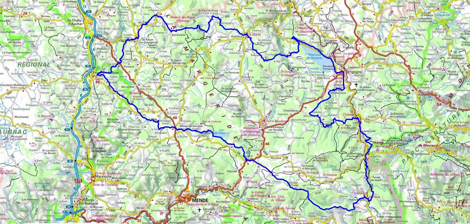
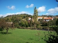
Starting from La Bastide-Puylaurent, the trail first crosses Prévenchères and the Plateau du Palais before reaching the wild shores of Lac de Charpal, a veritable little corner of Canada in the Lozère region, nestled among the peat bogs. Walking towards Javols, the ancient Gallo-Roman capital of the Gabales tribe, ancient history blends with the moorland landscapes where broom and heather reign supreme. The route then leads to Saint-Alban-sur-Limagnole, a major stop on the Way of St. James, before heading towards Sainte-Eulalie, sanctuary of the mythical European bison. Nature becomes more intimate as you follow the Ance River towards Grandrieu, then the calm waters of Lac de Naussac as you approach Langogne, a thousand-year-old town with a well-preserved medieval heritage. Going back up through Cheylard-l'Évêque and the remains of Luc castle, the hiker follows in the footsteps of Robert Louis Stevenson in a soothing woodland atmosphere.
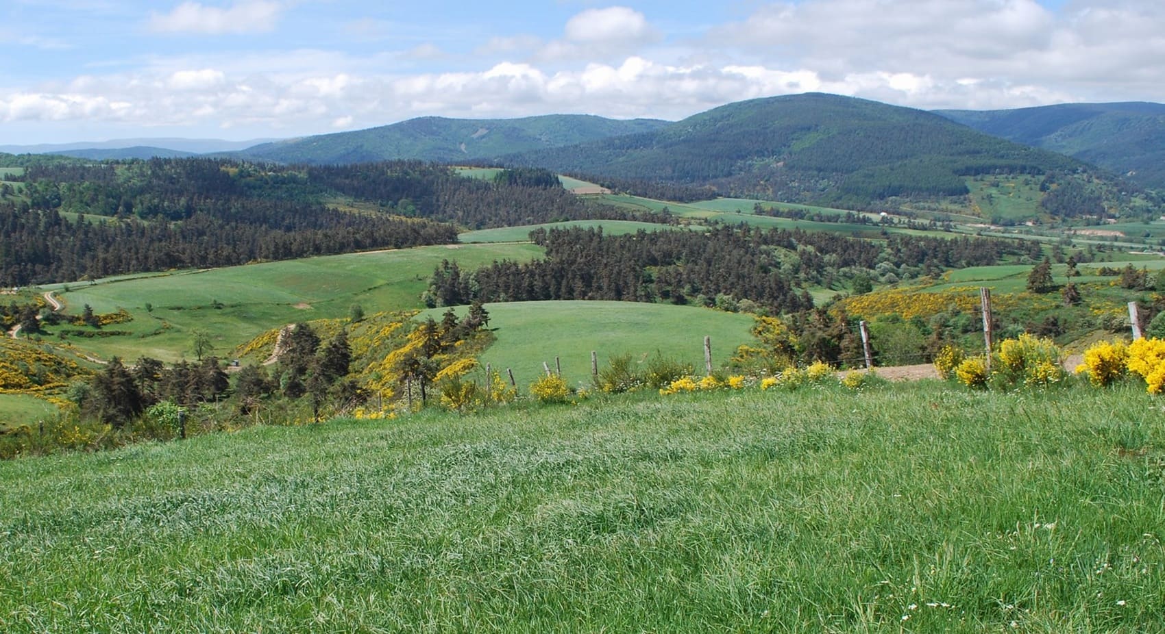
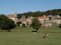
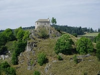
The Margeride, a vast granite plateau in northern Lozère, is a land of silence and mystery where history is etched in the very rock. This ancient massif, its horizons rounded by time, was the setting for the legend of the Beast of Gévaudan, whose memory still haunts the pine forests and heathlands. The built heritage is remarkably understated, with traditional farmhouses boasting thick granite walls and bell gables that defy the harsh winters. Nature reigns supreme, offering spectacular landscapes of granite boulders, like those of Rieutort-de-Randon, scattered amidst the pastures. It is a land of precious springs and peat bogs, sheltering rare flora and discreet fauna, from deer to birds of prey. Characterful villages, such as Le Malzieu-Ville, reveal a flourishing medieval past behind their well-preserved ramparts.
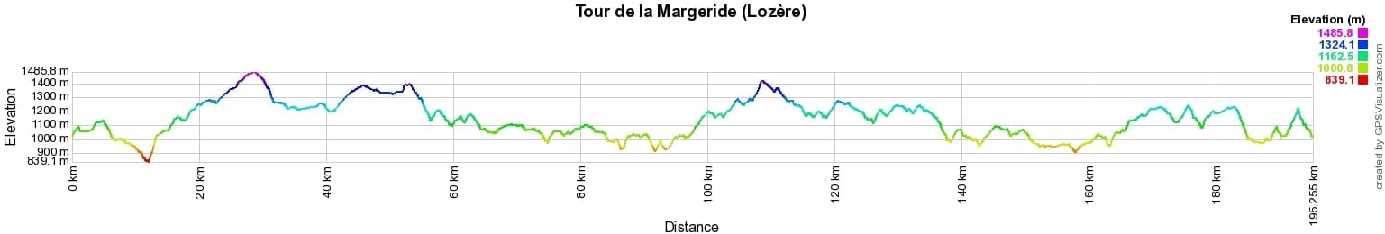
 Distance: 197km, Elevation maximum: 1486m, Elevation minimum: 839m, Elevation gain uphill: 4217m
IGN Maps: Largentière Labastide-Puylaurent Vivarais Cévenol - 2838OT. La Bastide-Puylaurent - 2738E. Grandrieu - 2737O. Langogne - 2737E. Mende - 2638E. Saint-Amans - 2637E. Mont-Lozère Florac Pn des Cévennes - 2739OT. Le Bleymard - 2738O.
|
La Bastide-Puylaurent: L'Etoile Guest House, 06 83 99 70 86, Email. |
|
Nearby paths:
![]() It is advisable to follow the beacons all along your hike and to bring the FFRandonnée topo-guide. You will also find information on MonGR.fr.
It is advisable to follow the beacons all along your hike and to bring the FFRandonnée topo-guide. You will also find information on MonGR.fr.
GR®, PR®, GRP® and the corresponding markings are trademarks of the French Federation of Hiking. They may not be reproduced without permission. The French Federation of Hiking, state-approved, includes organizations that maintain hiking routes. It publishes guides for these routes. With your donations, support the actions of the thousands of volunteer markers of the FFRandonnée.
GR-Infos.com is an editorial partner of MonGR.fr.
| Return |

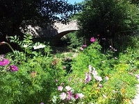
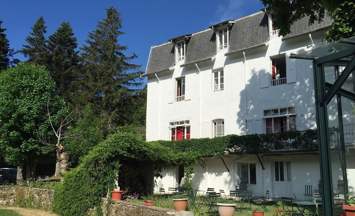
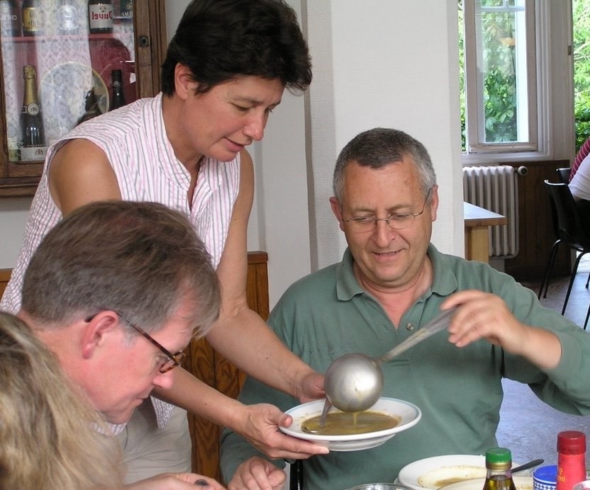
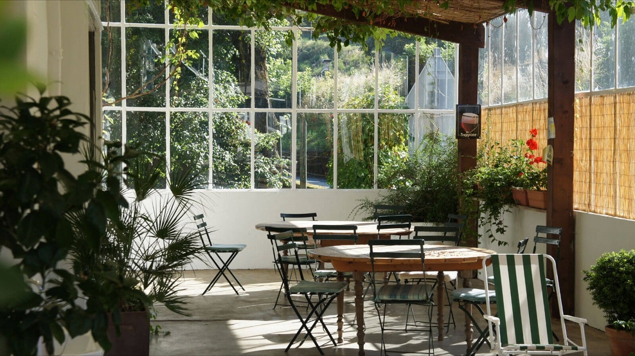
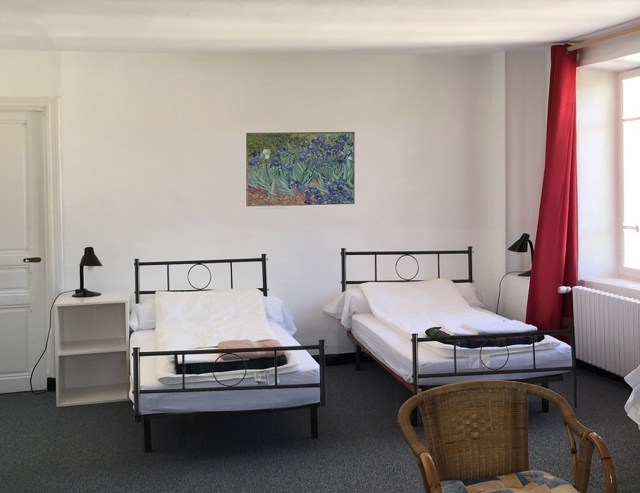
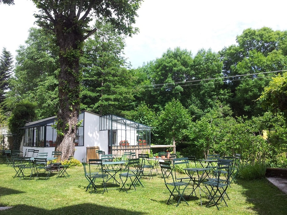
Former holiday hotel with a garden along the Allier, L'Etoile Guest House is located in La Bastide-Puylaurent between Lozere, Ardeche, and the Cevennes in the mountains of Southern France. At the crossroads of GR®7, GR®70 Stevenson Path, GR®72, GR®700 Regordane Way, GR®470 Allier River springs and gorges, GRP® Cevenol, Ardechoise Mountains, Margeride. Numerous loop trails for hiking and one-day biking excursions. Ideal for a relaxing and hiking getaway.
Copyright©gr-infos.com (Authorization for private use only)
To help us maintain and improve GR-Infos.com, a contribution of 2€ is desired via Wero or bank transfer. Thank you!