
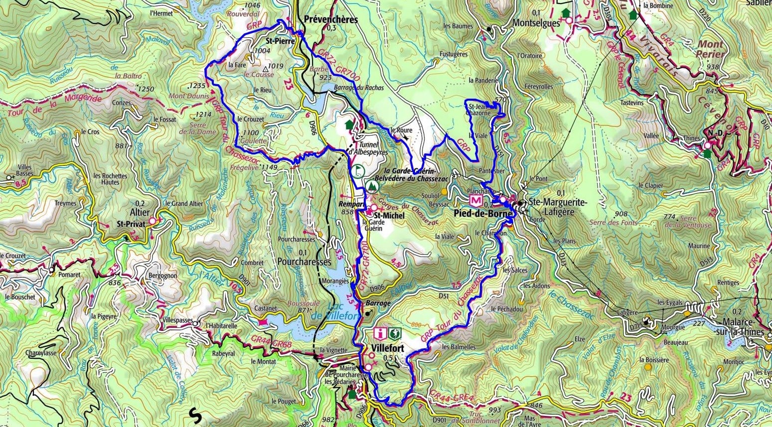
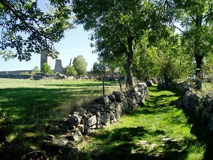
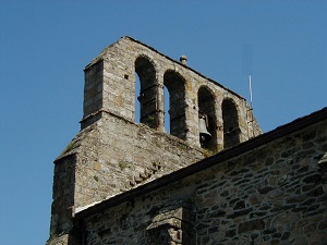
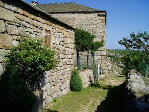
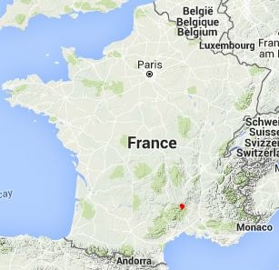
Starting from Villefort, this circuit plunges hikers into the heart of the Chassezac canyon, nicknamed the Devil's Lair. The first leg leads to La Garde-Guérin, a fortified medieval village listed among the most beautiful in France, whose watchtower proudly overlooks the abyss. The trail then heads towards Prévenchères with its 12th-century Romanesque church and its "Sully" linden tree planted in the 17th century, located just in front of it. Crossing the hamlets of Le Roure and La Chalmette, one discovers a heritage of schist and granite perfectly integrated into a wild landscape of chestnut trees and heather. The route continues towards Saint-Jean-Chazorne and the village of Pied-de-Borne, a strategic confluence point where the landscape becomes more Mediterranean. The ascent via the Cham des Balmelles reveals a landscape of arid plateaus and rocks sculpted by erosion, contrasting with the coolness of the riverbanks.
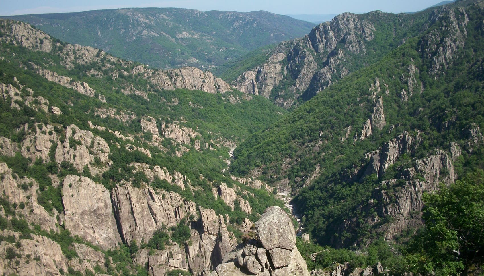
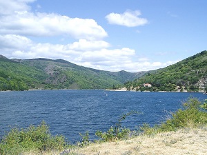
The Chassezac Gorges, veritable canyons carved into the granite of the Lozère region, offer a breathtakingly vertical, mineral spectacle on the edge of the Margeride. This wild defile, nicknamed the "Lozère Colorado," reveals sheer walls where crystal-clear water has patiently sculpted chaotic, cyclopean boulders. Heritage clings boldly to the cliffs, as evidenced by the perfectly preserved medieval village of La Garde-Guérin, a stronghold that once guarded the strategic passage of the Régordane Way. Nature reigns supreme here, sheltering rare biodiversity where the peregrine falcon nests in the crevices of the cliffs overlooking the winding rivers. Between Scots pine forests and heathland plateaus, the steep paths reveal a history of transhumance and resistance, marked by the imprint of dry stone walls.
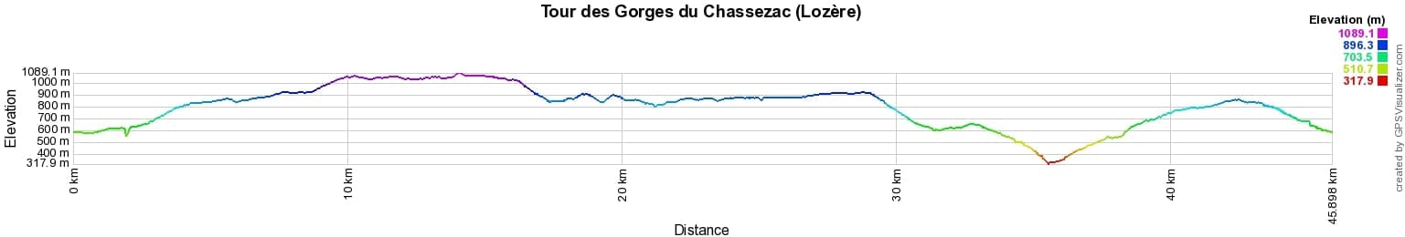
 Distance: 46km, Elevation maximum: 1090m, Elevation minimum: 323m, Elevation gain uphill: 1610m
IGN Maps: 2738SB - LE BLEYMARD/LA BASTIDE-PUYLAURENT. 2739OT - MONT-LOZERE / FLORAC / PN DES CEVENNES. 2838OT - LARGENTIERE / LABASTIDE-PUYLAURENT / VIVARAIS CEVENOL. 2839OT - BESSEGES / LES VANS / VALLEE DU CHASSEZAC.
Nearby paths:
![]() It is advisable to follow the beacons all along your hike and to bring the FFRandonnée topo-guide. You will also find information on MonGR.fr.
It is advisable to follow the beacons all along your hike and to bring the FFRandonnée topo-guide. You will also find information on MonGR.fr.
GR®, PR®, GRP® and the corresponding markings are trademarks of the French Federation of Hiking. They may not be reproduced without permission. The French Federation of Hiking, state-approved, includes organizations that maintain hiking routes. It publishes guides for these routes. With your donations, support the actions of the thousands of volunteer markers of the FFRandonnée.
GR-Infos.com is an editorial partner of MonGR.fr.
| Return |

Former holiday hotel with a garden along the Allier, L'Etoile Guest House is located in La Bastide-Puylaurent between Lozere, Ardeche, and the Cevennes in the mountains of Southern France. At the crossroads of GR®7, GR®70 Stevenson Path, GR®72, GR®700 Regordane Way, GR®470 Allier River springs and gorges, GRP® Cevenol, Ardechoise Mountains, Margeride. Numerous loop trails for hiking and one-day biking excursions. Ideal for a relaxing and hiking getaway.
Copyright©gr-infos.com (Authorization for private use only)
To help us maintain and improve GR-Infos.com, a contribution of 2€ is desired via Wero or bank transfer. Thank you!