
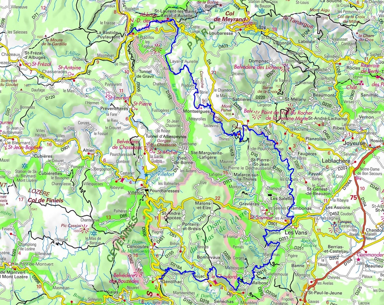
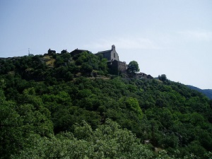
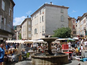
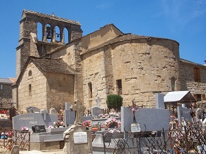
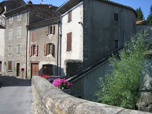
The GR de Pays Le Cévenol trail heads towards Notre-Dame-des-Neiges Abbey, then descends to the thermal waters of Saint-Laurent-les-Bains before reaching the granite plateau of Montselgues, a true island of solitude overlooking schist valleys. The route enters the Thines gorges, where the perched village of Thines and its listed Romanesque church bear witness to an exceptional architectural heritage. Descending towards Chambonas and its castle, the landscape changes dramatically: ancient chestnut groves give way to olive groves and vineyards around Les Vans, a lively town at the gateway to the South of France. The trail then climbs towards the charming villages of Naves and Brahic, stone balconies offering breathtaking views of the Cévennes mountains. The route continues towards Aujac and its medieval castle, then on to Génolhac and the history of the Camisards.
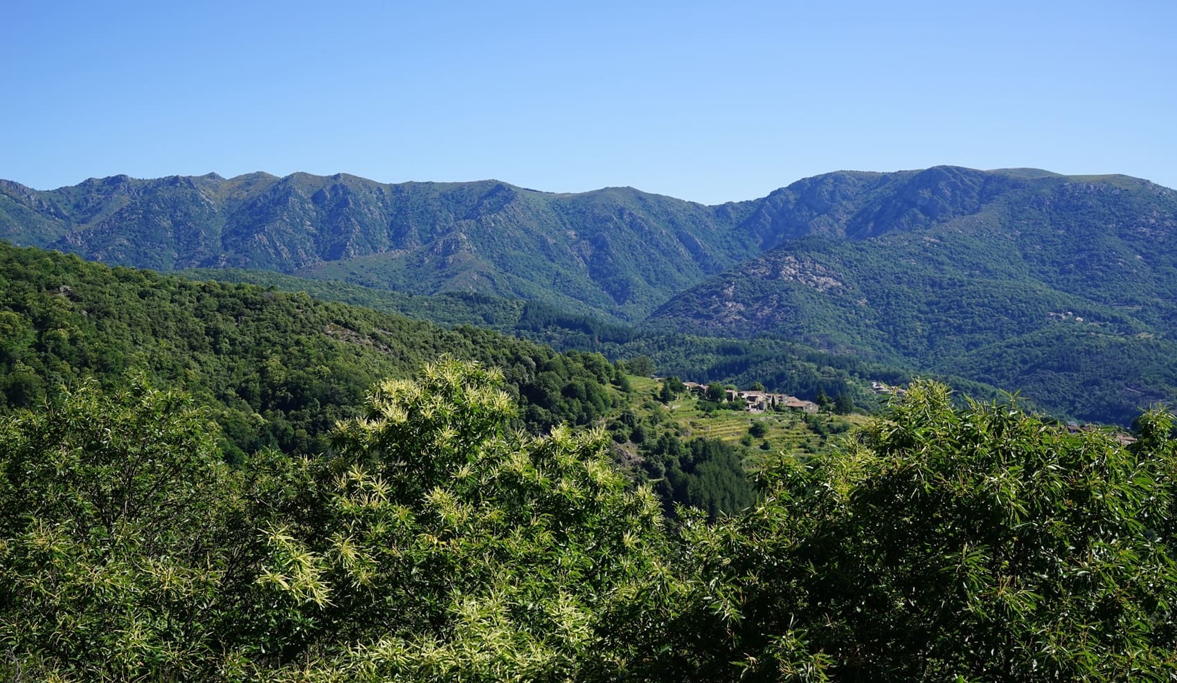
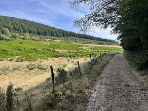
The Ardèche Cévennes, a region of distinctive character on the edge of the Massif Central, offer a wild, vertical landscape where humankind has had to contend with an untamed nature. The landscape is defined by its famous "faïsses," dry-stone terraces patiently built to cultivate vines and olive trees on steep slopes. In the heart of the Beaume and Chassezac valleys, villages of schist and sandstone, such as Thines and Jaujac, bear witness to a robust and authentic architectural heritage. History here is marked by the cultivation of the chestnut tree, a true "bread tree" that has nourished generations of peasant-builders. Nature reigns supreme, alternating between Mediterranean holm oak forests and windswept granite plateaus. Rivers carve spectacular gorges, providing refuge for a protected biodiversity within the Monts d'Ardèche Regional Natural Park.
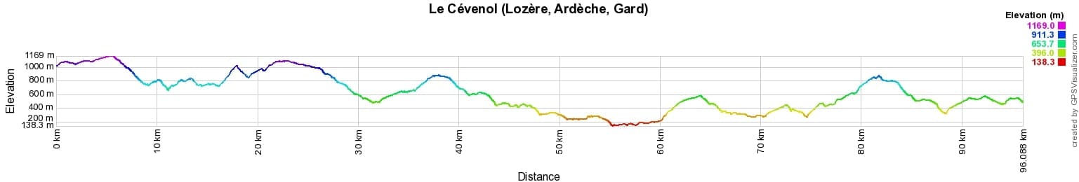

 Distance: 96km, Elevation maximum: 1169m, Elevation minimum: 138m, Elevation gain uphill: 3650m
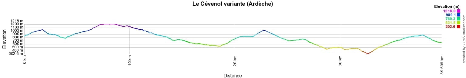
Variante Distance: 40km, Elevation maximum: 1217m, Elevation minimum: 310m, Elevation gain uphill: 1860m
IGN Maps: La Bastide-Puylaurent - 2738E. Mont-Lozere Florac Pn des Cevennes - 2739OT. Largentiere Labastide-Puylaurent Vivarais Cevenol - 2838OT. Besseges Les-Vans Vallee de la Chassezac - 2839OT.
|
La Bastide-Puylaurent: L'Etoile Guest House, 06 83 99 70 86, Email. |
|
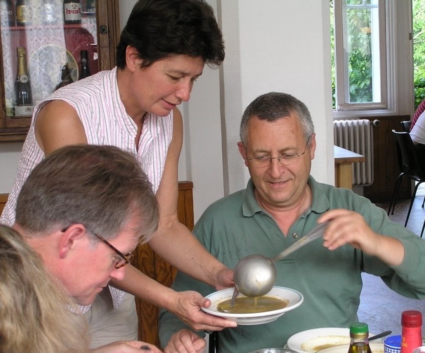
Family Hiking on the Cevenol Trail
Private parking at L'Etoile Guest House (La Bastide-Puylaurent) during your hike
Direct train from Genolhac to La Bastide-Puylaurent
Nearby paths:
![]() It is advisable to follow the beacons all along your hike and to bring the FFRandonnée topo-guide. You will also find information on MonGR.fr.
It is advisable to follow the beacons all along your hike and to bring the FFRandonnée topo-guide. You will also find information on MonGR.fr.
GR®, PR®, GRP® and the corresponding markings are trademarks of the French Federation of Hiking. They may not be reproduced without permission. The French Federation of Hiking, state-approved, includes organizations that maintain hiking routes. It publishes guides for these routes. With your donations, support the actions of the thousands of volunteer markers of the FFRandonnée.
GR-Infos.com is an editorial partner of MonGR.fr.
| Return |

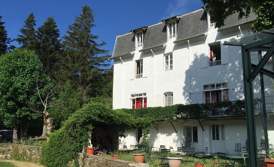
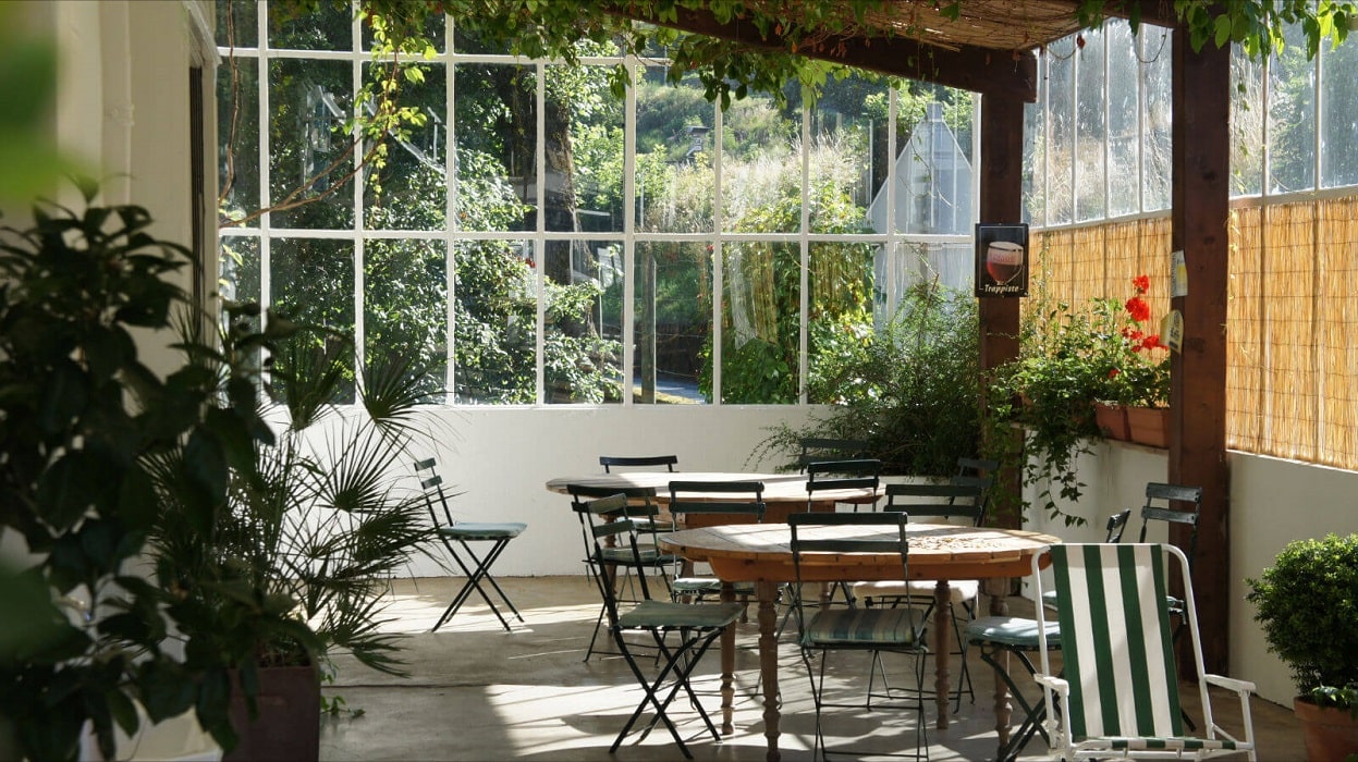
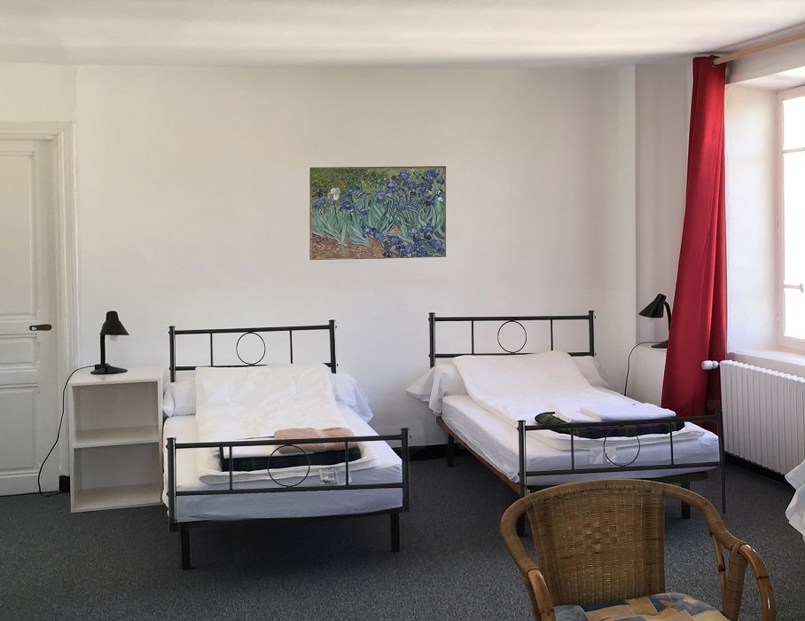
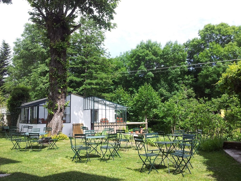
Former holiday hotel with a garden along the Allier, L'Etoile Guest House is located in La Bastide-Puylaurent between Lozere, Ardeche, and the Cevennes in the mountains of Southern France. At the crossroads of GR®7, GR®70 Stevenson Path, GR®72, GR®700 Regordane Way, GR®470 Allier River springs and gorges, GRP® Cevenol, Ardechoise Mountains, Margeride. Numerous loop trails for hiking and one-day biking excursions. Ideal for a relaxing and hiking getaway.
Copyright©gr-infos.com (Authorization for private use only)
To help us maintain and improve GR-Infos.com, a contribution of 2€ is desired via Wero or bank transfer. Thank you!