
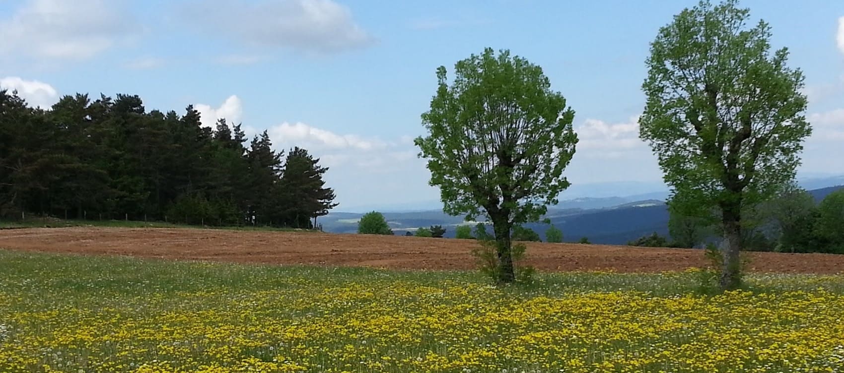
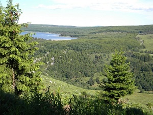
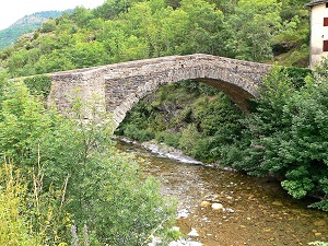
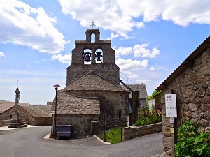
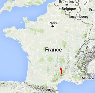
The GR®43 long-distance hiking trail connects the granite peaks of Mont Lozère to the mysterious plateaux of the Margeride, offering a spectacular crossing between the Cévennes mountains and lands steeped in legend. The landscape alternates between moors of purple heather, dense beech forests and vast pastoral expanses dotted with rocky outcrops. As for wildlife, a keen eye might spot red deer, griffon vultures soaring on thermals or the elusive otter in the valleys of the Lot River. The flora is equally remarkable, with Alpine species giving way to the remarkable biodiversity of the Cévennes, a UNESCO World Biosphere Reserve.
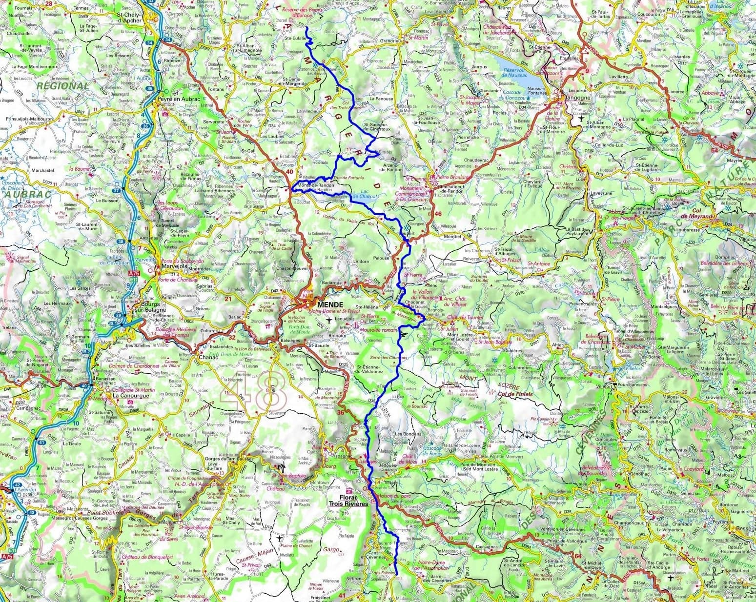

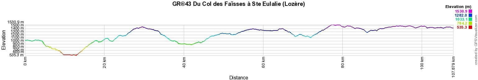
 Distance: 108km, Elevation maximum: 1530m, Elevation minimum: 539m, Elevation gain uphill: 2872m
Nearby paths:
![]() It is advisable to follow the beacons all along your hike and to bring the FFRandonnée topo-guide. You will also find information on MonGR.fr.
It is advisable to follow the beacons all along your hike and to bring the FFRandonnée topo-guide. You will also find information on MonGR.fr.
GR®, PR®, GRP®, and the corresponding signs of markings (white/red, yellow and yellow/red) are trademarks of the French Federation of Hiking. They may not be reproduced without permission. The French Federation of Hiking, state-approved, includes organizations that create and maintain hiking routes on GR®, PR® and GRP®. It publishes topo-guides for these hiking routes. With your donations, support the actions of the thousands of volunteer markers of the FFRandonnée.
GR-Infos.com is an editorial partner of MonGR.fr.
| Return |

Former holiday hotel with a garden along the Allier, L'Etoile Guest House is located in La Bastide-Puylaurent between Lozere, Ardeche, and the Cevennes in the mountains of Southern France. At the crossroads of GR®7, GR®70 Stevenson Path, GR®72, GR®700 Regordane Way, GR®470 Allier River springs and gorges, GRP® Cevenol, Ardechoise Mountains, Margeride. Numerous loop trails for hiking and one-day biking excursions. Ideal for a relaxing and hiking getaway.
Copyright©gr-infos.com (Authorization for private use only)
To help us maintain and improve GR-Infos.com, a contribution of 2€ is desired via Wero or bank transfer. Thank you!