
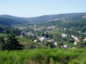
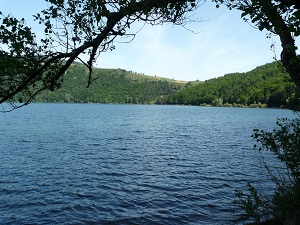
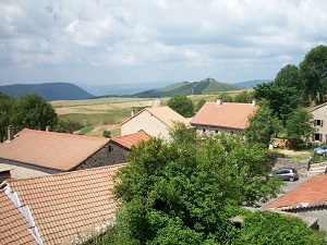
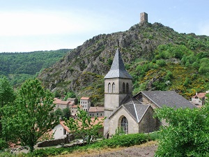
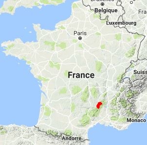
Starting from La Bastide-Puylaurent in Lozère, the trail follows the Allier River towards Laveyrune, then climbs towards Saint-Étienne-de-Lugdarès and the Plagnal plateau. It crosses windswept high-altitude moors before reaching Lake Issarlès, a volcanic gem nestled in an ancient crater. The ascent to Mont Gerbier-de-Jonc, the source of the Loire River, marks the highest point of the journey, offering a 360° panorama of the region's basalt peaks. Descending via Lachamp-Raphaël, hikers traverse landscapes of peat bogs and summer pastures where biodiversity reigns supreme. Historical heritage is showcased by the Cistercian ruins of Mazan Abbey, before the path descends into the remote lands of the Col du Bez, Les Chambons, Loubaresse, and Montselgues. Finally, the route drops down to Saint-Laurent-les-Bains, famous for its thermal waters, and concludes near the Notre-Dame des Neiges Abbey.
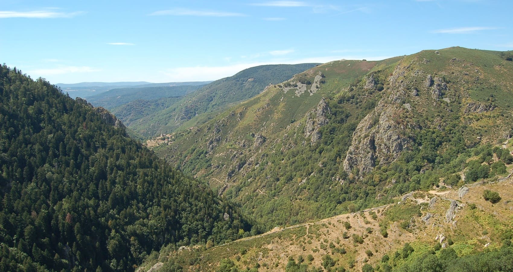
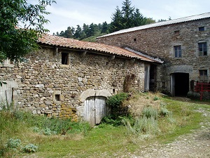
The Ardèche Mountains form a high volcanic plateau where a harsh climate has forged a unique identity among high-altitude moors and basalt peaks. This territory, marked by the omnipresence of stone, shelters natural gems such as Mont Gerbier-de-Jonc and the deep crater of Lake Issarlès. Its history is etched into centuries-old farmhouses with broom or slate roofs, designed to withstand the "burle"—the fierce winter wind that sculpts the landscape. The region's religious heritage is powerful, exemplified by the ruins of Mazan Abbey and the serene Notre-Dame des Neiges. Protected within the Regional Natural Park, the local nature boasts rare biodiversity, where ancient peat bogs lie alongside beech forests and summer pastures. By traversing these wild expanses, visitors discover a pastoral and authentic France, punctuated by transhumance and traditional fairs.
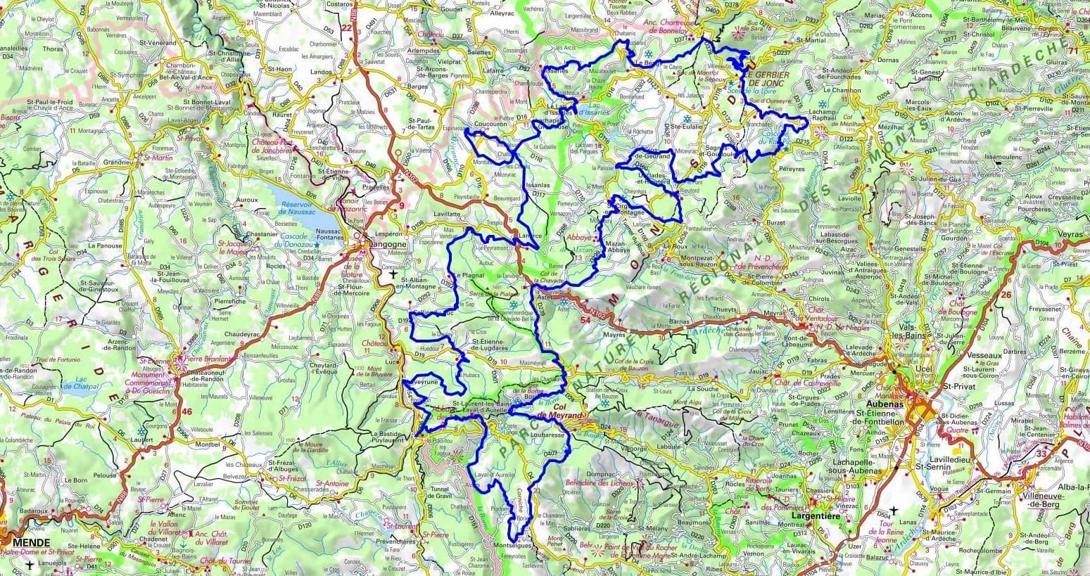
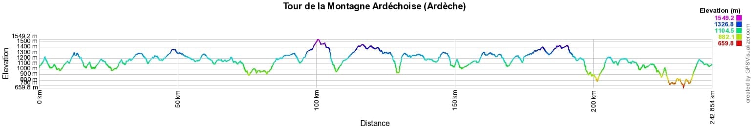
 Distance: 243km, Elevation maximum: 1549m, Elevation minimum: 660m, Elevation gain uphill: 7349m
IGN Maps: Langogne (2737E). La Bastide-Puylaurent (2738E). Gerbier de Jonc Mezenc Vivarais (2836OT). Lac d'Issarles Thueyts Sources de la Loire (2837OT). Largentiere la Bastide-Puylaurent Vivarais Cevenol (2838OT). Vals-les-Bains (2937O).
|
La Bastide-Puylaurent: L'Etoile Guest House, 06 83 99 70 86, Email. |
|
Nearby paths:
![]() It is advisable to follow the beacons all along your hike and to bring the FFRandonnée topo-guide. You will also find information on MonGR.fr.
It is advisable to follow the beacons all along your hike and to bring the FFRandonnée topo-guide. You will also find information on MonGR.fr.
GR®, PR®, GRP® and the corresponding markings are trademarks of the French Federation of Hiking. They may not be reproduced without permission. The French Federation of Hiking, state-approved, includes organizations that maintain hiking routes. It publishes guides for these routes. With your donations, support the actions of the thousands of volunteer markers of the FFRandonnée.
GR-Infos.com is an editorial partner of MonGR.fr.
| Return |

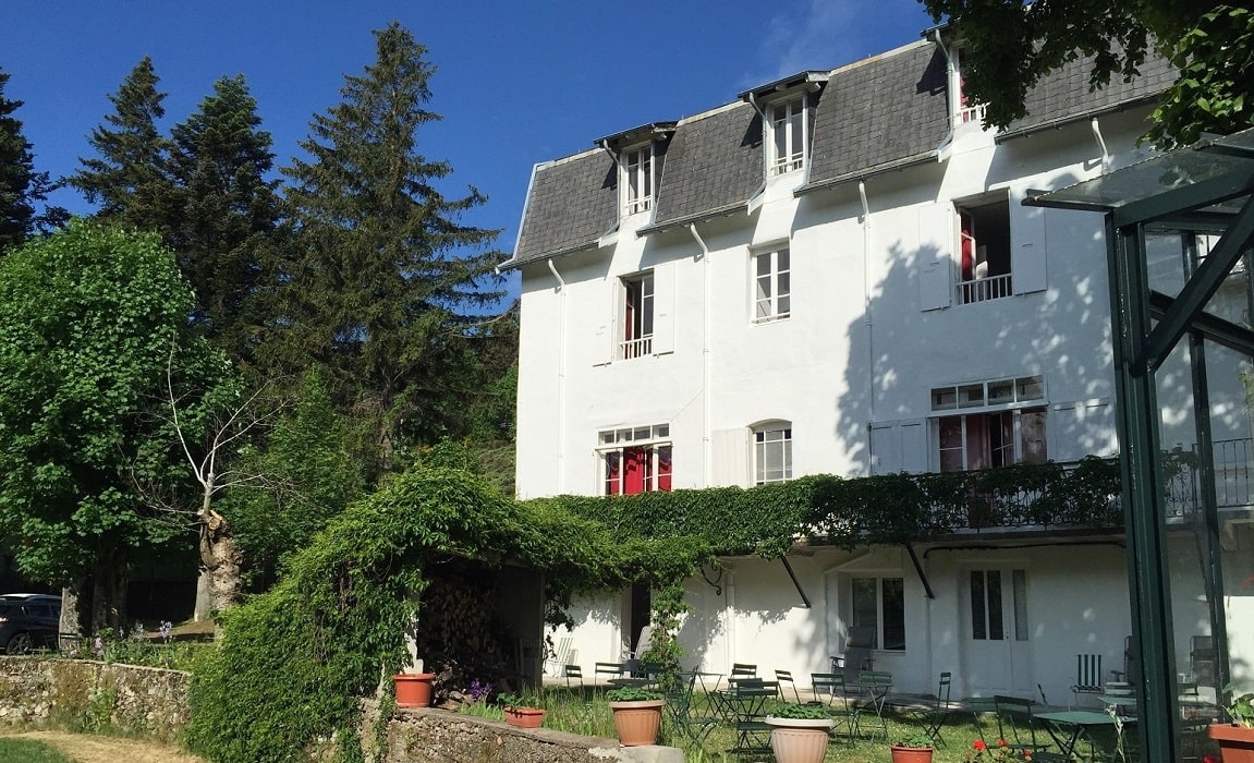
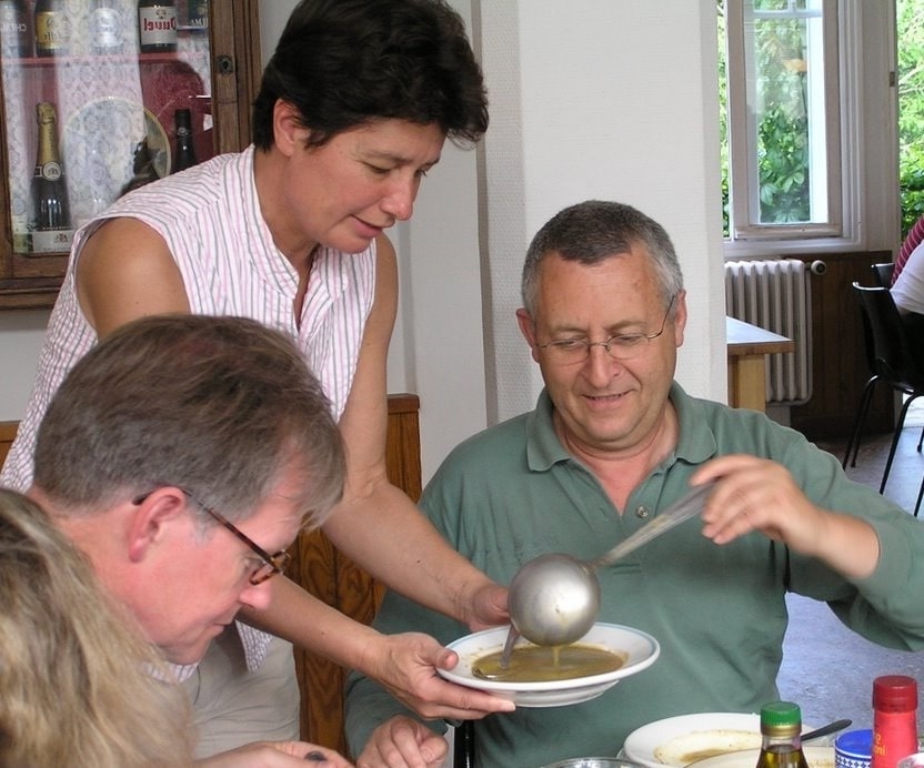
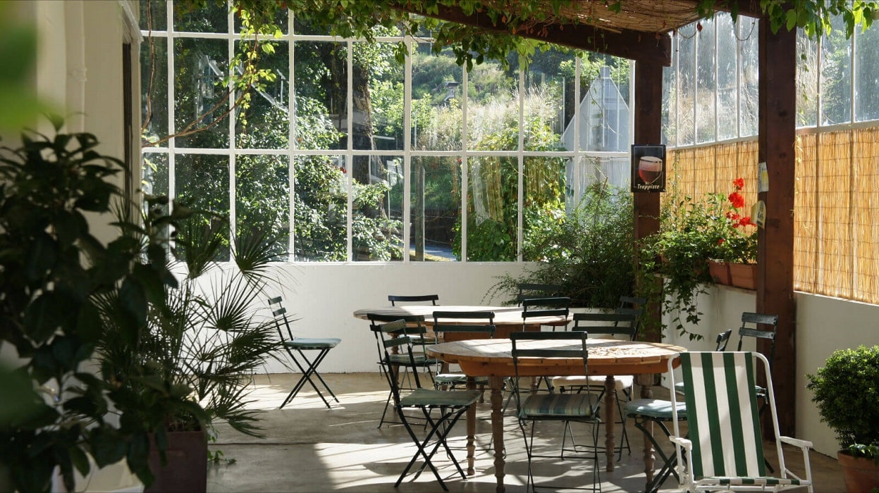
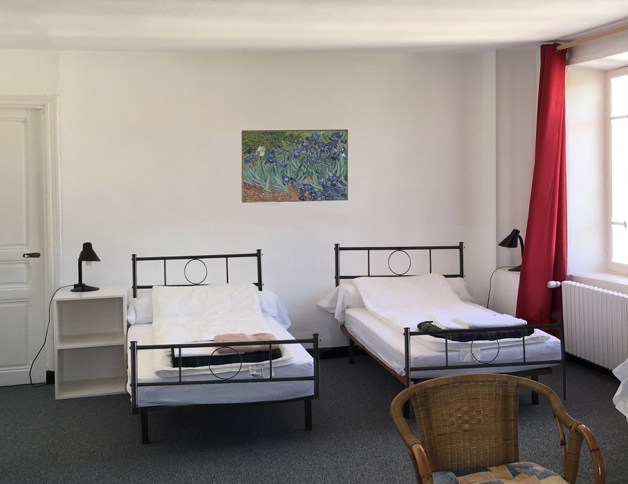
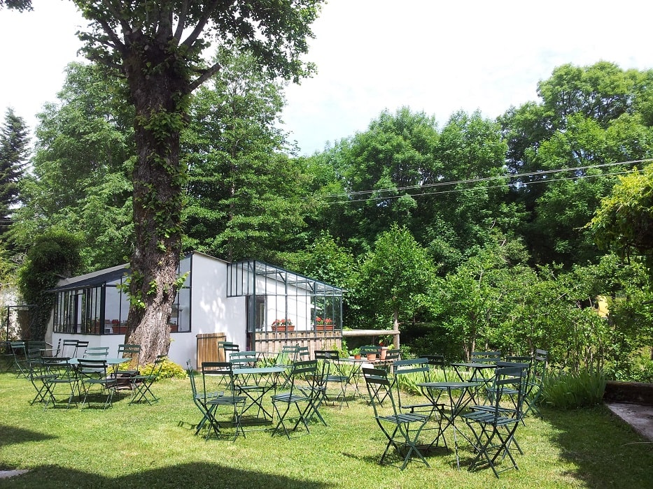
Former holiday hotel with a garden along the Allier, L'Etoile Guest House is located in La Bastide-Puylaurent between Lozere, Ardeche, and the Cevennes in the mountains of Southern France. At the crossroads of GR®7, GR®70 Stevenson Path, GR®72, GR®700 Regordane Way, GR®470 Allier River springs and gorges, GRP® Cevenol, Ardechoise Mountains, Margeride. Numerous loop trails for hiking and one-day biking excursions. Ideal for a relaxing and hiking getaway.
Copyright©gr-infos.com (Authorization for private use only)
To help us maintain and improve GR-Infos.com, a contribution of 2€ is desired via Wero or bank transfer. Thank you!