
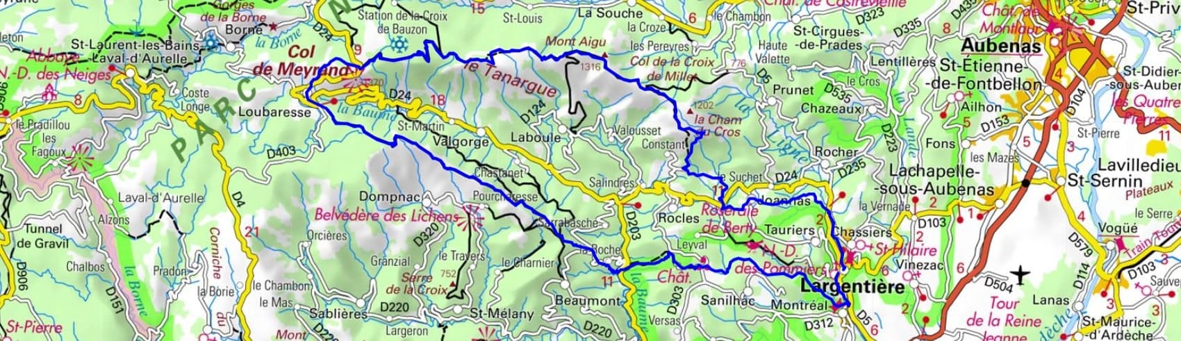
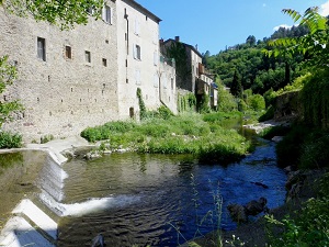
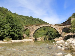
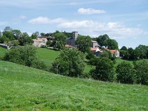
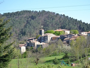
Starting from Largentière, a former medieval silver mining town, the trail climbs via Laval and Brison, where the watchtower overlooks the Ligne and Beaume valleys. Reaching the ridges at the Sommet du Caylar and Les Moles, the landscape opens onto a vast expanse of broom-covered heathland and windswept alpine meadows. The Col de Meyrand marks the heart of the massif, offering a panoramic view of the Alps and Mont Ventoux on a clear day. Nature here is untamed, between the beech forests of Loubaresse and the granite peaks of Mont Aigu, home to large birds of prey. The return to Joannas and the hamlet of Chalabrège traverses a preserved rural heritage of dry-stone terraces and ancient chestnut groves. This area, nicknamed the "Thunder Mountain" according to Celtic legend, impresses with its geological power and peaceful isolation.

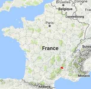
The Tanargue massif is a French mountain massif located in the Ardèche department, in the Auvergne-Rhône-Alpes region. It is part of the Massif Central and is located on the watershed between the Mediterranean and the Atlantic. The Tanargue is a massif stretching from west to east over a distance of approximately 15 kilometers. It rises to a maximum altitude of 1,511 meters at the summit of Grand Tanargue. The massif is made up of granite rocks and has a steep relief. Tanargue is a rich and diverse natural site. It is home to a variety of flora and fauna, including deer, wild boar, chamois, eagles, vultures, and orchids.
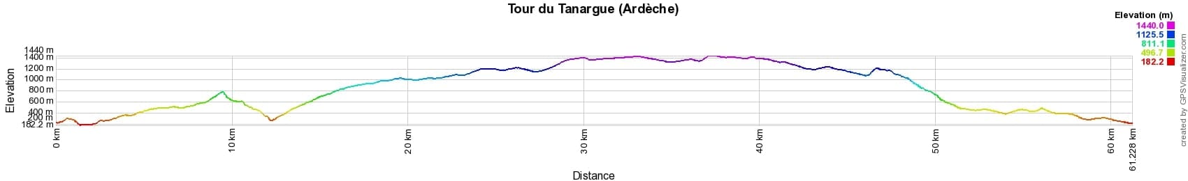
 Distance: 61km, Maximum elevation: 1440m, Minimum elevation: 182m, Total ascent: 2664m
IGN Maps: Largentiere la Bastide-Puylaurent Vivarais Cevenol (2838OT). Aubenas (2938O).
Nearby paths:
![]() It is advisable to follow the beacons all along your hike and to bring the FFRandonnée topo-guide. You will also find information on MonGR.fr.
It is advisable to follow the beacons all along your hike and to bring the FFRandonnée topo-guide. You will also find information on MonGR.fr.
GR®, PR®, GRP® and the corresponding markings are trademarks of the French Federation of Hiking. They may not be reproduced without permission. The French Federation of Hiking, state-approved, includes organizations that maintain hiking routes. It publishes guides for these routes. With your donations, support the actions of the thousands of volunteer markers of the FFRandonnée.
GR-Infos.com is an editorial partner of MonGR.fr.
| Return |

Former holiday hotel with a garden along the Allier, L'Etoile Guest House is located in La Bastide-Puylaurent between Lozere, Ardeche, and the Cevennes in the mountains of Southern France. At the crossroads of GR®7, GR®70 Stevenson Path, GR®72, GR®700 Regordane Way, GR®470 Allier River springs and gorges, GRP® Cevenol, Ardechoise Mountains, Margeride. Numerous loop trails for hiking and one-day biking excursions. Ideal for a relaxing and hiking getaway.
Copyright©gr-infos.com (Authorization for private use only)
To help us maintain and improve GR-Infos.com, a contribution of 2€ is desired via Wero or bank transfer. Thank you!