
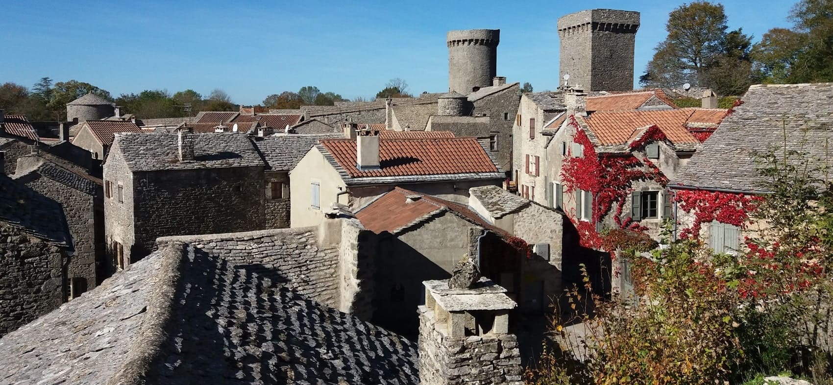
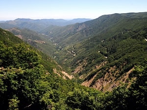
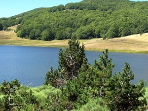
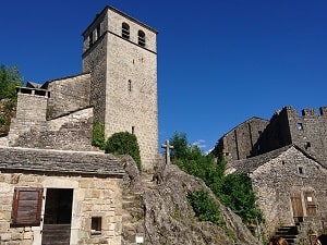
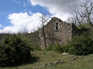
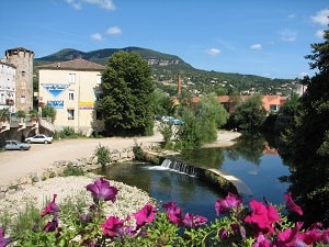
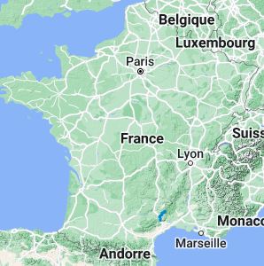
The GR®71 trail connects L'Espérou in the Gard to Lodève in the Hérault, offering a magnificent hike through the rugged landscapes of the Cévennes National Park and the Grands Causses Regional Nature Park. Covering approximately 73 km, the route crosses the vast limestone plateau of the Larzac, characterized by its traditional agro-pastoral heritage, dolines, and deep gorges. Hikers will journey through historic Templar and Hospitaller villages, dense beech and pine forests, and open moorlands. The area's diverse flora includes rare orchids, while the fauna features majestic birds of prey like the griffon vulture. It is a captivating immersion into the wild beauty and history of southern France.
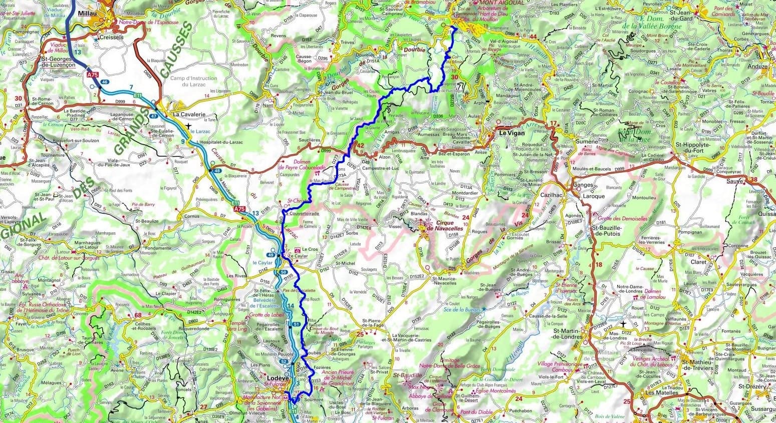
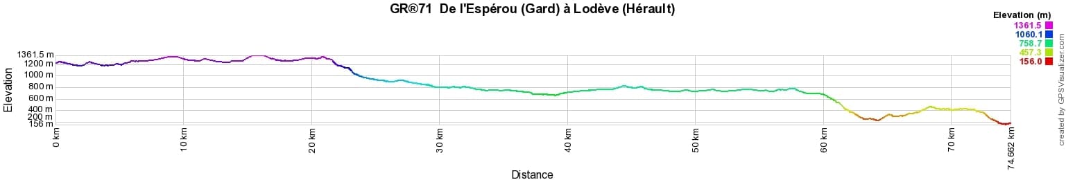
 Distance: 73km, Elevation maximum: 1417m, Elevation minimum: 153m, Elevation gain uphill: 846m
IGN Maps: L'Esperou (2641ET). Le Vigan (2641O). Millau (2641E). Bédarieux (2642O).
Nearby paths:
![]() It is advisable to follow the beacons all along your hike and to bring the FFRandonnee topo-guide. You will also find information on MonGR.fr.
It is advisable to follow the beacons all along your hike and to bring the FFRandonnee topo-guide. You will also find information on MonGR.fr.
GR®, PR®, GRP®, and the corresponding signs of markings (white/red, yellow and yellow/red) are trademarks of the French Federation of Hiking. They may not be reproduced without permission. The French Federation of Hiking, state-approved, includes organizations that create and maintain hiking routes on GR®, PR® and GRP®. It publishes guides for these topo hiking routes. With your donations, support the actions of the thousands of volunteer markers of the FFRandonnee.
GR-Infos.com is an editorial partner of MonGR.fr.
| Return |

Former holiday hotel with a garden along the Allier, L'Etoile Guest House is located in La Bastide-Puylaurent between Lozere, Ardeche, and the Cevennes in the mountains of Southern France. At the crossroads of GR®7, GR®70 Stevenson Path, GR®72, GR®700 Regordane Way, GR®470 Allier River springs and gorges, GRP® Cevenol, Ardechoise Mountains, Margeride. Numerous loop trails for hiking and one-day biking excursions. Ideal for a relaxing and hiking getaway.
Copyright©gr-infos.com (Authorization for private use only)
To help us maintain and improve GR-Infos.com, a contribution of 2€ is desired via Wero or bank transfer. Thank you!