
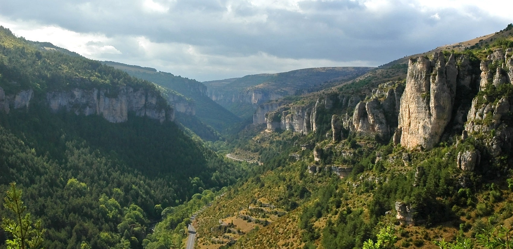
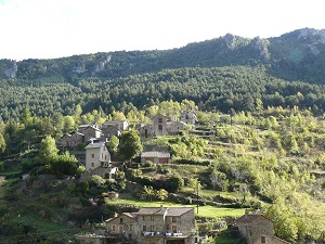
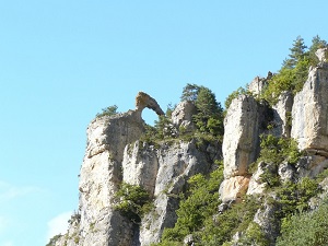
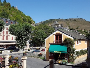
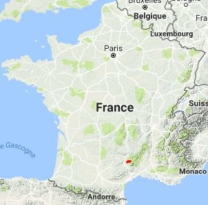
The GR®62A trail offers a wild immersion into the heart of the Cévennes National Park. The landscape is marked by the striking contrast between the arid limestone plateaux and the cool Cévennes valleys. Historically, this trail follows ancient transhumance routes, where sheep farming still dominates, shaping the lives of the few inhabitants deeply attached to their land. The flora adapted to the harsh conditions of the Causse Méjean is exceptional, with numerous orchid species and rare aromatic plants. The fauna is equally remarkable, with griffon vultures soaring overhead and the occasional glimpse of a mouflon on the rocky slopes.
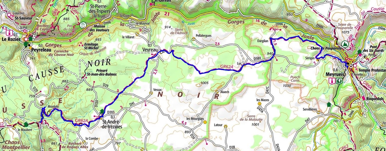
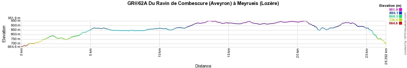
 Distance: 26km, Elevation maximum: 952m, Elevation minimum: 662m, Elevation gain uphill: 538m
Nearby paths:
![]() It is advisable to follow the beacons all along your hike and to bring the FFRandonnée topo-guide. You will also find information on MonGR.fr.
It is advisable to follow the beacons all along your hike and to bring the FFRandonnée topo-guide. You will also find information on MonGR.fr.
GR®, PR®, GRP®, and the corresponding signs of markings (white/red, yellow and yellow/red) are trademarks of the French Federation of Hiking. They may not be reproduced without permission. The French Federation of Hiking, state-approved, includes organizations that create and maintain hiking routes on GR®, PR® and GRP®. It publishes topo-guides for these hiking routes. With your donations, support the actions of the thousands of volunteer markers of the FFRandonnée.
GR-Infos.com is an editorial partner of MonGR.fr.
| Return |

Former holiday hotel with a garden along the Allier, L'Etoile Guest House is located in La Bastide-Puylaurent between Lozere, Ardeche, and the Cevennes in the mountains of Southern France. At the crossroads of GR®7, GR®70 Stevenson Path, GR®72, GR®700 Regordane Way, GR®470 Allier River springs and gorges, GRP® Cevenol, Ardechoise Mountains, Margeride. Numerous loop trails for hiking and one-day biking excursions. Ideal for a relaxing and hiking getaway.
Copyright©gr-infos.com (Authorization for private use only)
To help us maintain and improve GR-Infos.com, a contribution of 2€ is desired via Wero or bank transfer. Thank you!