
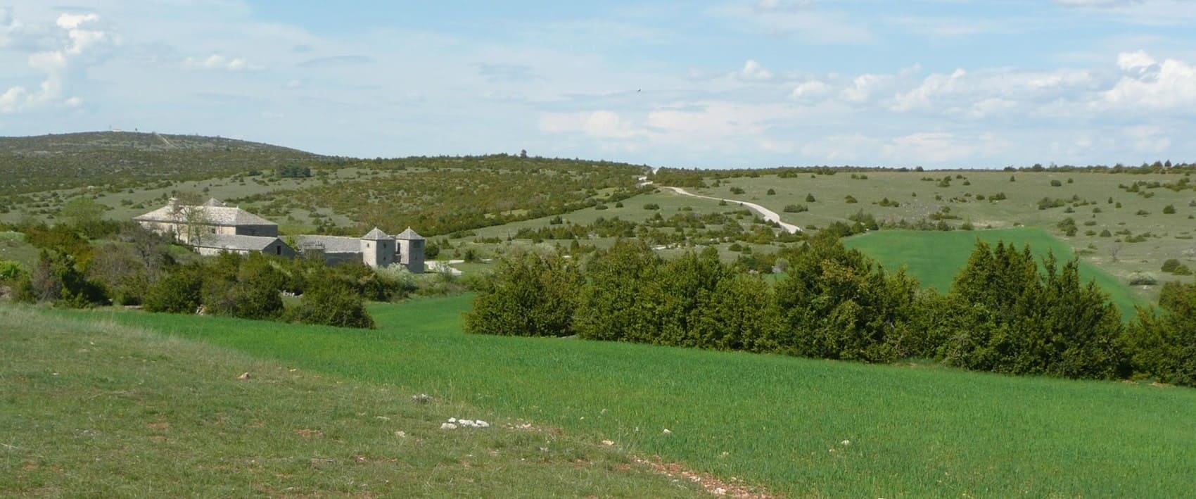
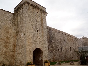
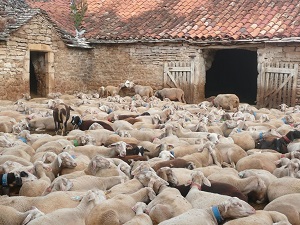
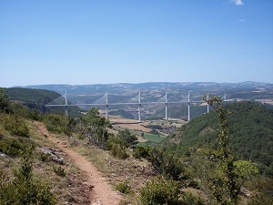
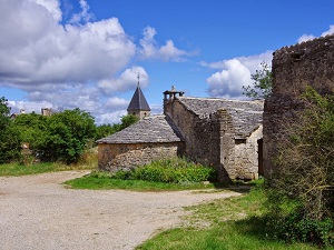
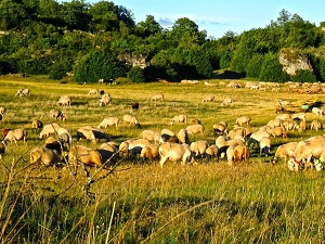
The Larzac is the largest of the Grands Causses, located primarily in the Aveyron department. Its geography is characterized by a vast steppe-like expanse, dotted with ruin-like rock formations and dolines (fertile depressions). Its history is marked by the presence of the Knights Templar and the Knights Hospitaller, who built fortified towns there, such as La Couvertoirade. In the 1970s, the plateau became a symbol of the peasant struggle against the expansion of a military camp, forging a strong identity of defiance and solidarity. Today, the economy is based mainly on raising Lacaune sheep for the production of the famous Roquefort cheese.
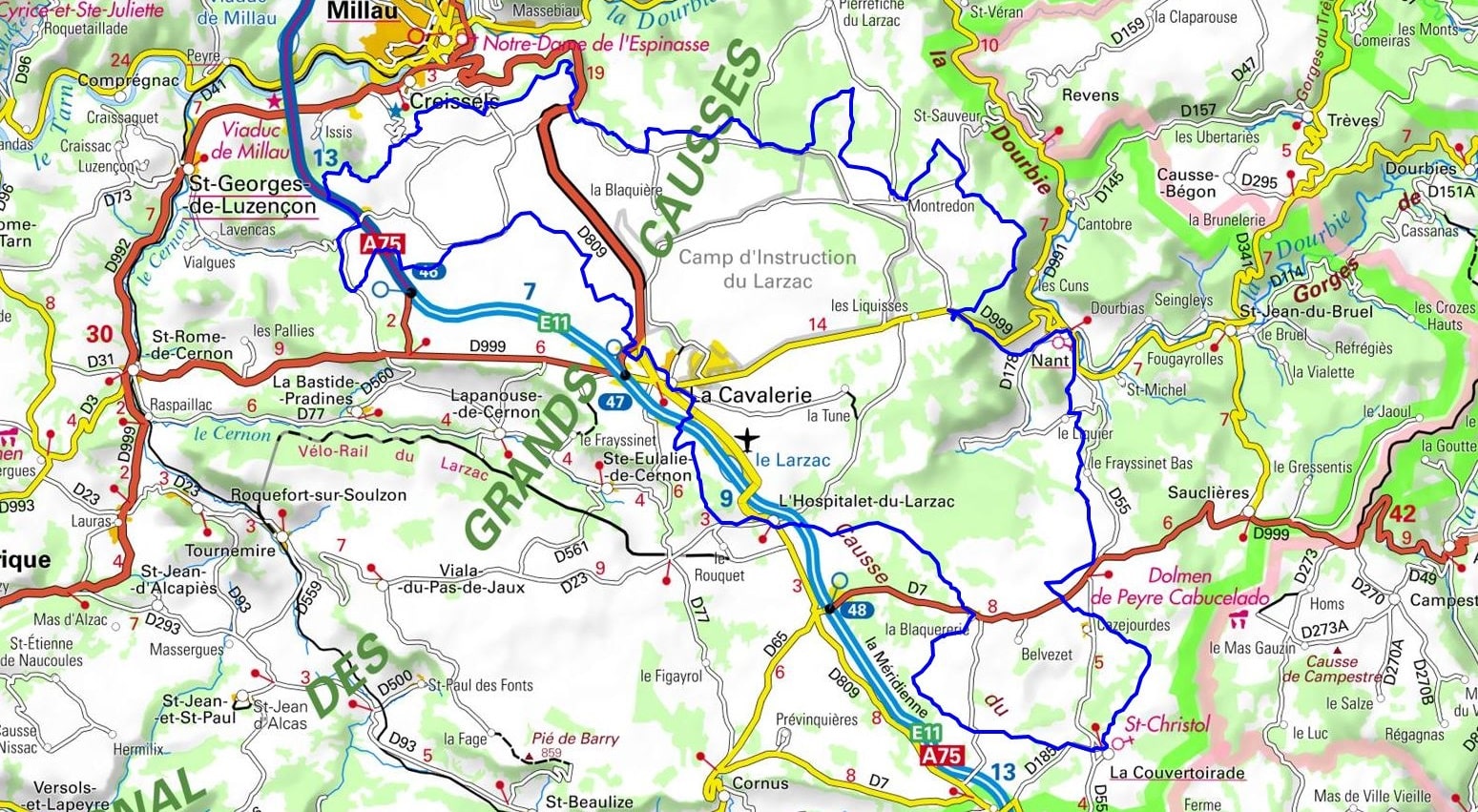
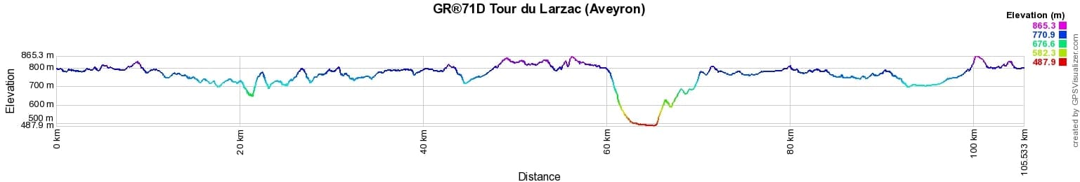
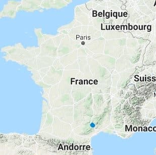
 Distance: 105km, Elevation maximum: 865m, Elevation minimum: 488m, Elevation gain uphill: 1689m
IGN Maps: 2540SB - SAINT-BEAUZELY / AGUESSAC/GORGES DU TARN. 2541OT - MILLAU. 2641OT - MILLAU / GORGES DE LA DOURBIE / CAUSSE NOIR. 2642OT - LE CAYLAR / LACOUVERTOIRADE.
Nearby paths:
![]() It is advisable to follow the beacons all along your hike and to bring the FFRandonnee topo-guide. You will also find information on MonGR.fr.
It is advisable to follow the beacons all along your hike and to bring the FFRandonnee topo-guide. You will also find information on MonGR.fr.
GR®, PR®, GRP®, and the corresponding signs of markings (white/red, yellow and yellow/red) are trademarks of the French Federation of Hiking. They may not be reproduced without permission. The French Federation of Hiking, state-approved, includes organizations that create and maintain hiking routes on GR®, PR® and GRP®. It publishes guides for these topo hiking routes. With your donations, support the actions of the thousands of volunteer markers of the FFRandonnee.
GR-Infos.com is an editorial partner of MonGR.fr.
| Return |

Former holiday hotel with a garden along the Allier, L'Etoile Guest House is located in La Bastide-Puylaurent between Lozere, Ardeche, and the Cevennes in the mountains of Southern France. At the crossroads of GR®7, GR®70 Stevenson Path, GR®72, GR®700 Regordane Way, GR®470 Allier River springs and gorges, GRP® Cevenol, Ardechoise Mountains, Margeride. Numerous loop trails for hiking and one-day biking excursions. Ideal for a relaxing and hiking getaway.
Copyright©gr-infos.com (Authorization for private use only)
To help us maintain and improve GR-Infos.com, a contribution of 2€ is desired via Wero or bank transfer. Thank you!