
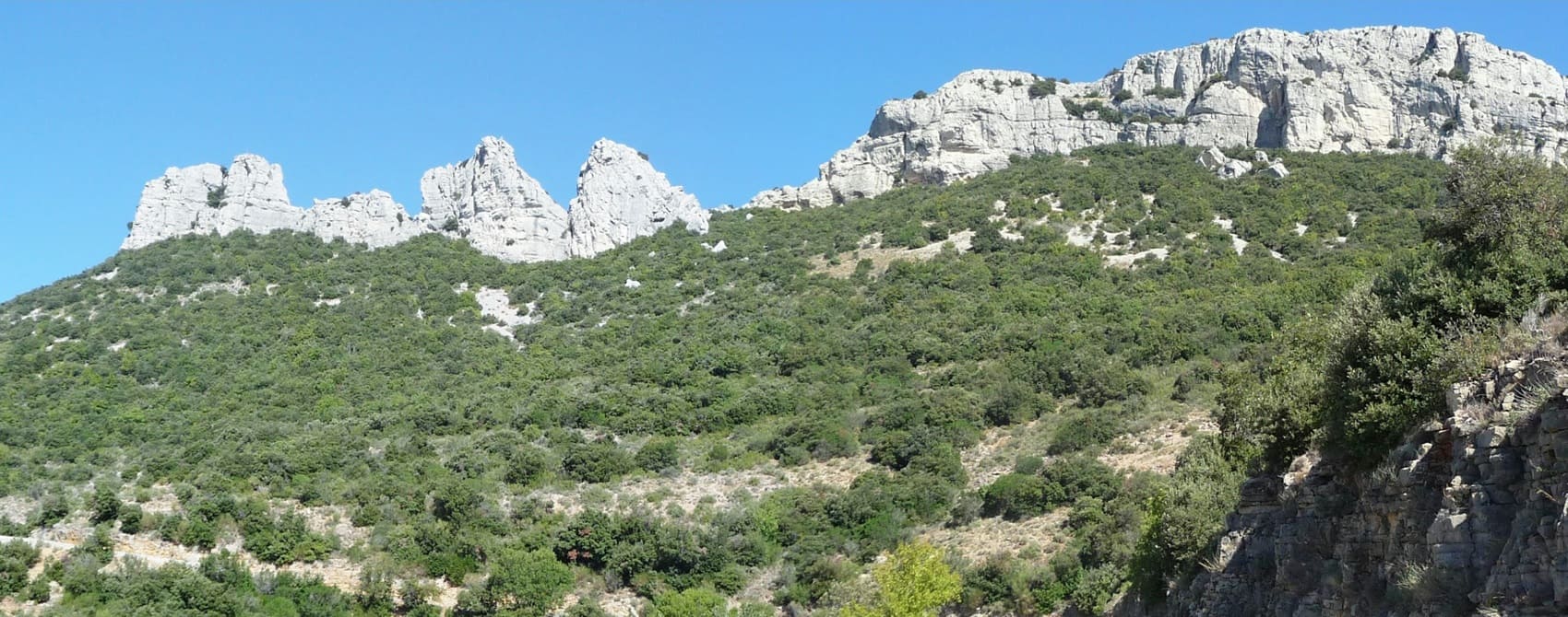
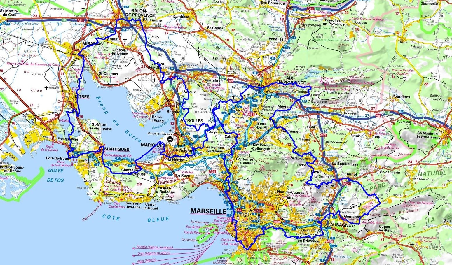
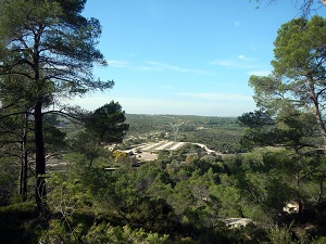
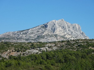
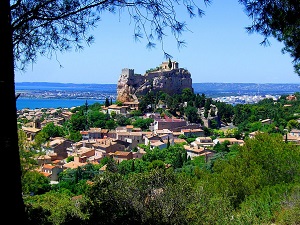
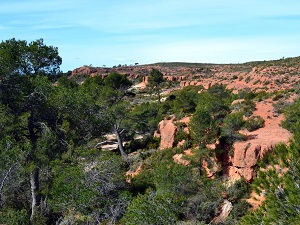
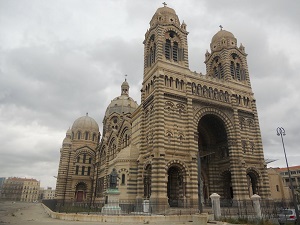
The GR2013 is an exceptional long-distance hiking trail, created for Marseille-Provence European Capital of Culture, which traces a bold figure eight across the department. Skirting the Étang de Berre, a veritable inland sea, hikers discover a mosaic of contrasting landscapes: from fascinating industrial shores to preserved reedbeds sheltering a rich birdlife. The trail then climbs towards the limestone ridges of the Massif de l’Étoile, offering spectacular panoramas of the Marseille harbor and the hills of Pagnol. History is evident at every step, from Roman archaeological remains and monumental aqueducts like the Roquefavour aqueduct to contemporary architecture. The flora, typically Mediterranean, blends the scent of thyme and rosemary with the ruggedness of the rocky soils, bearing witness to the resilience of a biodiversity that adapts to the proximity of urban areas.
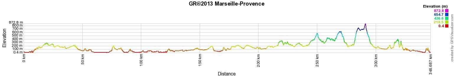
 Distance: 357km, Maximum elevation: 884m, Minimum elevation: 0m, Total ascent: 6213m
IGN Maps: Marseille Les Calanques (3145ET). Aix-En-Provence Vitrolles Lambesc (3143ET). Salon-De-Provence Miramas (3143OT). Etang-De-Berre Istes Marignane Martigues (3144OT). Montagne Sainte-Victoire Aix-En-Provence Gardanne Trets (3244ET). Aubagne La Ciotat Massif de la Sainte-Baume (3245ET).
Nearby paths:
![]() It is advisable to follow the beacons all along your hike and to bring the FFRandonnee topo-guide with you. You will also find information on MonGR.fr.
It is advisable to follow the beacons all along your hike and to bring the FFRandonnee topo-guide with you. You will also find information on MonGR.fr.
GR®, PR®, GRP®, and the corresponding signs of markings (white / red, yellow and yellow / red) are trademarks of the French Federation of Hiking. They may not be reproduced without permission. The French Federation of Hiking, state-approved, includes organizations that create and maintain hiking routes on GR®, PR® and GRP®. It publishes guides for these topo hiking routes. With your donations, you support the actions of the thousands of volunteer markers of the FFRandonnee.
GR-Infos.com is an editorial partner of MonGR.fr.
| Return |

Former holiday hotel with a garden along the Allier, L'Etoile Guest House is located in La Bastide-Puylaurent between Lozere, Ardeche, and the Cevennes in the mountains of Southern France. At the crossroads of GR®7, GR®70 Stevenson Path, GR®72, GR®700 Regordane Way, GR®470 Allier River springs and gorges, GRP® Cevenol, Ardechoise Mountains, Margeride. Numerous loop trails for hiking and one-day biking excursions. Ideal for a relaxing and hiking getaway.
Copyright©gr-infos.com (Authorization for private use only)
To help us maintain and improve GR-Infos.com, a contribution of 2€ is desired via Wero or bank transfer. Thank you!