
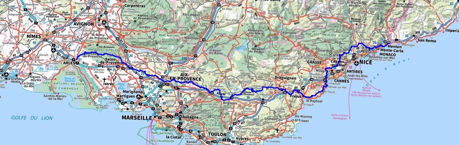
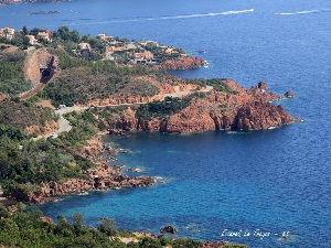
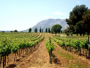
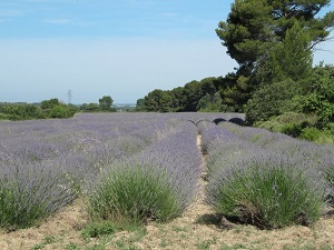
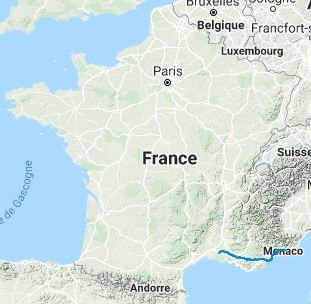
The Via Aurelia, also known as the Aurelian Way, was built in 241 BC by the Roman consul Gaius Aurelius Cotta and was originally a Roman road connecting Rome to Luni in Italy, following the Tyrrhenian coast. As the Romans expanded, additional sections were added to the road. After his victory over the peoples of the Maritime Alps, Emperor Augustus extended the road in 13 BC, from Piacenza in Italy to Arles on the Rhone River. At that time, the construction of the Via Aurelia was of great importance as it shortened the journey between Rome and Hispania. It continues to serve as a vital link for communication, trade, and pilgrimage, following in the footsteps of ancient Romans, medieval pilgrims, and countless others who have traveled along this historic route.
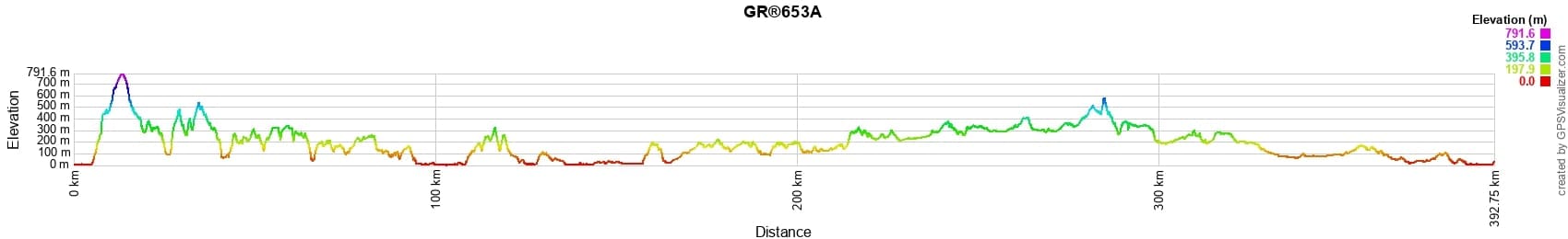
 Distance: 393km, Elevation maximum: 796m, Elevation minimum: 0m, Elevation gain uphill: 7410m
IGN Maps: Vallee de l'Esteron Vallee du Loup 3642ET. Cannes Grasse Cote d'Azur 3643ET. Nice Menton Cote d'Azur 3742OT. Cote d'Azur - Riviera dei Fiori (ASF1). Aups-Salernes - 3443OT. Brignoles Le Luc Lac de Carces - 3444OT. Frejus Saint-Raphael Corniche de l'Esterel - 3544ET. Le Muy Lorgues Montagne de Roquebrune Massif des Maures - 3544OT. Cannes Grasse Cote d'Azur - 3643ET. Aix-En-Provence Vitrolles Lambesc - 3143ET. Montagne Sainte-Victoire Aix-En-Provence Gardanne Trets - 3244ET. Saint-Maximin-La-Sainte-Baume Barjols Trets Mont-Aurelien - 3344OT. Salon-De-Provence Miramas - IGN 3143OT. Aix-En-Provence Vitrolles Lambesc - IGN 3143ET. Saint-Martin-de-Crau - IGN 3043OT. Tarascon Saint-Remy-De-Provence Chaine des Alpilles - IGN 3042OT. Arles Pnr de Camargue - IGN 2943ET.
|
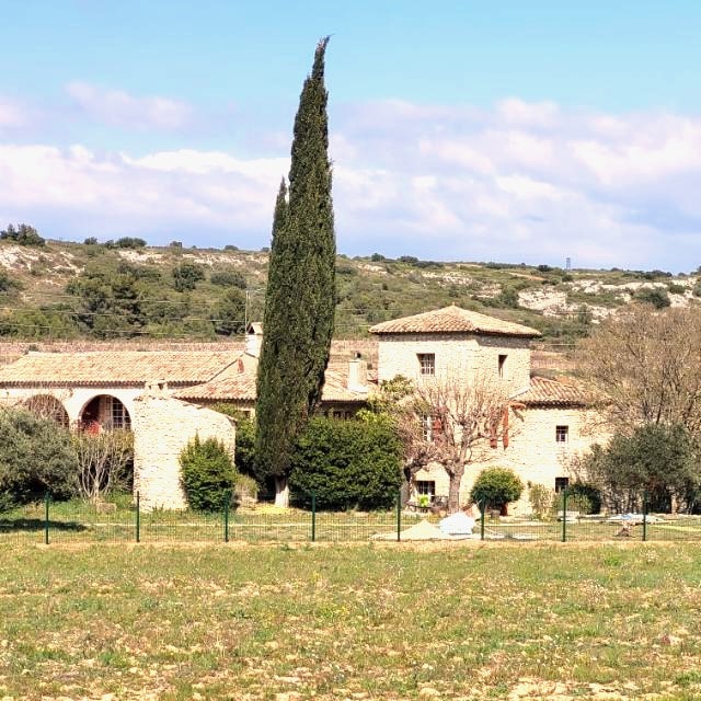
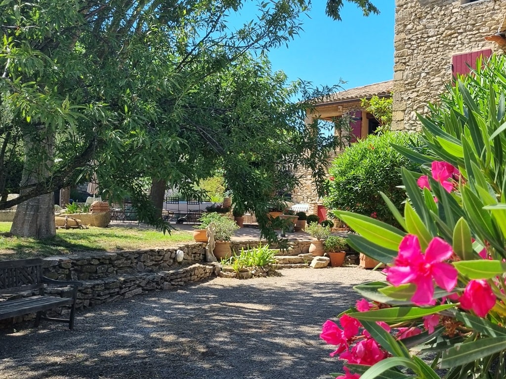
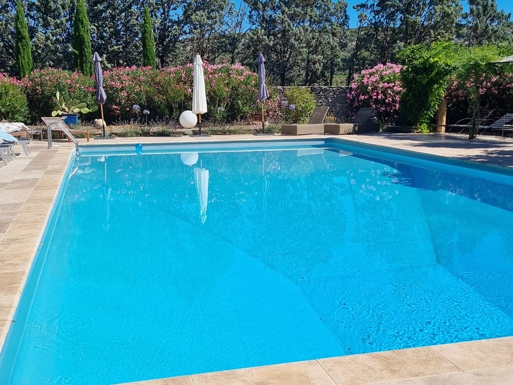
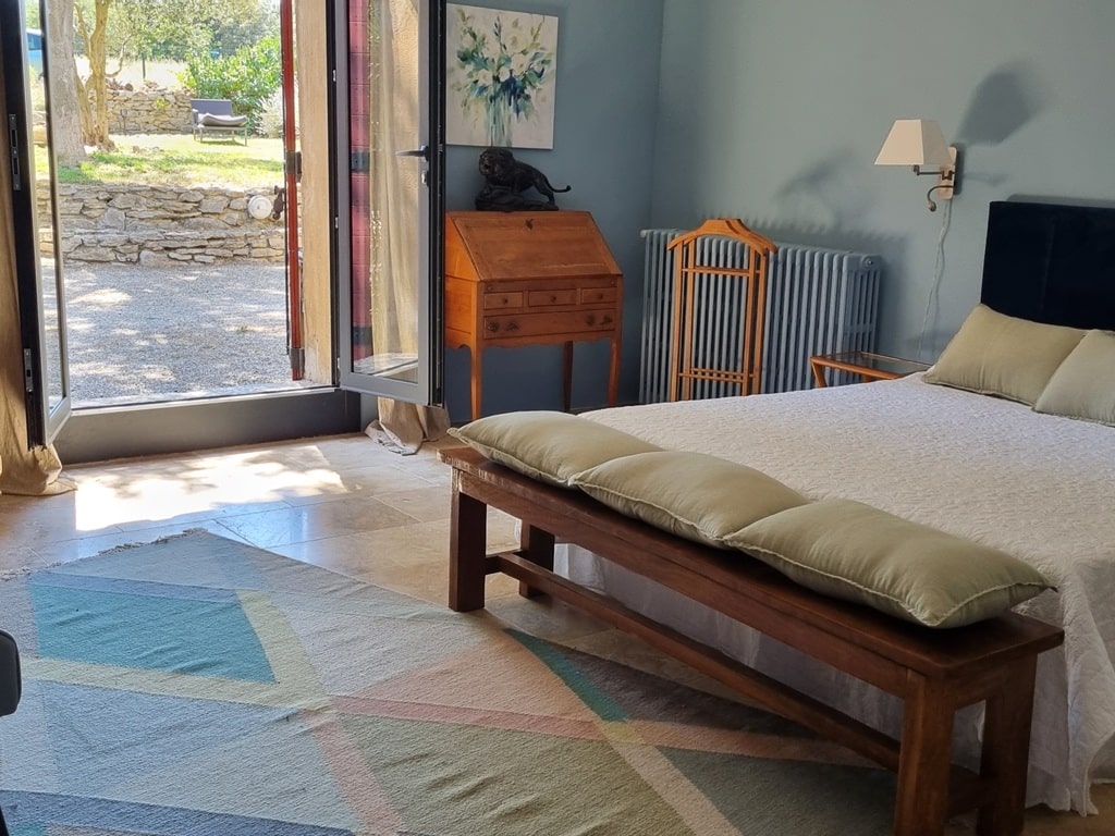
Pelissanne: Moulin Aurelia, M. Peltier, 06 64 50 04 34, Email. |
|
Nearby paths:
![]() It is advisable to follow the beacons throughout your itinerary and to take the Fédération Française de la Randonnée Pédestre topo-guide with you. You will also find information on MonGR.fr.
It is advisable to follow the beacons throughout your itinerary and to take the Fédération Française de la Randonnée Pédestre topo-guide with you. You will also find information on MonGR.fr.
GR®, PR®, GRP®, and the corresponding signs of markings (white / red, yellow and yellow / red) are trademarks of the French Federation of Hiking. They may not be reproduced without permission. The French Federation of Hiking, state-approved, includes organizations that create and maintain hiking routes on GR®, PR®, and GRP®. It publishes guides for these topo hiking routes. With your donations, you support the actions of the thousands of FFRandonnée volunteer markers.
GR-Infos.com is an editorial partner of MonGR.fr.
| Return |

Former holiday hotel with a garden along the Allier, L'Etoile Guest House is located in La Bastide-Puylaurent between Lozere, Ardeche, and the Cevennes in the mountains of Southern France. At the crossroads of GR®7, GR®70 Stevenson Path, GR®72, GR®700 Regordane Way, GR®470 Allier River springs and gorges, GRP® Cevenol, Ardechoise Mountains, Margeride. Numerous loop trails for hiking and one-day biking excursions. Ideal for a relaxing and hiking getaway.
Copyright©gr-infos.com (Authorization for private use only)
To help us maintain and improve GR-Infos.com, a contribution of 2€ is desired via Wero or bank transfer. Thank you!