
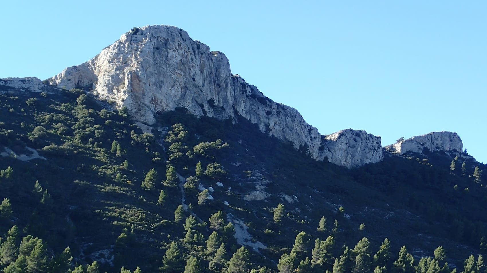
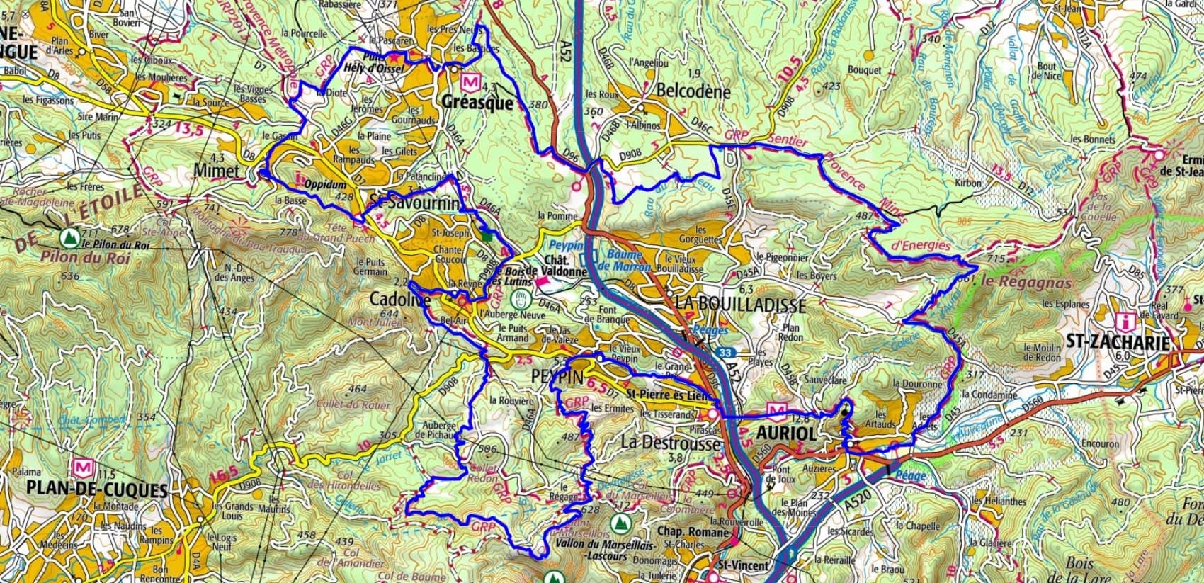
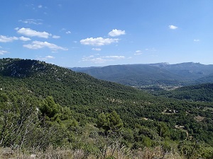
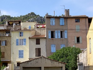
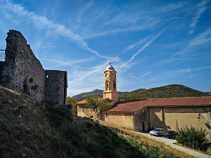
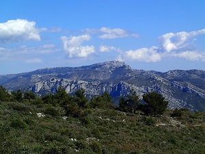
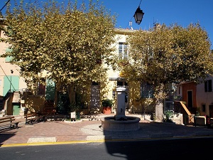
Starting in Gréasque, the trail winds between old mine shafts and the Mining Museum before reaching Belcodène and the wooded hills overlooking the Huveaune Valley. In Auriol, medieval history blends with the garrigue landscape, while passing through La Destrousse and Peypin reveals former mining railways converted into greenways. The route then climbs towards Cadolive and Saint-Savournin, offering spectacular views of the Étoile mountain range and the Garlaban massif, so dear to Marcel Pagnol. The perched village of Mimet, the highest in the Bouches-du-Rhône department, marks the highest point of the itinerary, nestled beneath the Sainte-Victoire massif, which rises on the horizon. Resilient nature has reclaimed the former slag heaps, creating a rich Mediterranean biodiversity where Aleppo pines and kermes oaks shelter a discreet fauna.
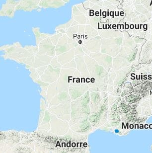
The Provence Mines d'énergies Sud territory, centered on the former mining basin of Gardanne and Fuveau, offers a landscape typical of inland Provence, characterized by the proximity of limestone hills and the Sainte-Victoire mountain range. The landscape reflects the reclamation of former industrial sites by nature, whose slag heaps are now largely reclaimed by vegetation. The flora is typically Mediterranean, dominated by fragrant garrigue, kermes oaks, and Aleppo pine forests, which have played a key role in the ecological restoration. This dry vegetation shelters fauna adapted to the Provençal climate, including insects such as cicadas, small reptiles, and numerous birds nesting in the maquis. Together, they form a unique ecosystem, combining industrial heritage with preserved Mediterranean biodiversity.
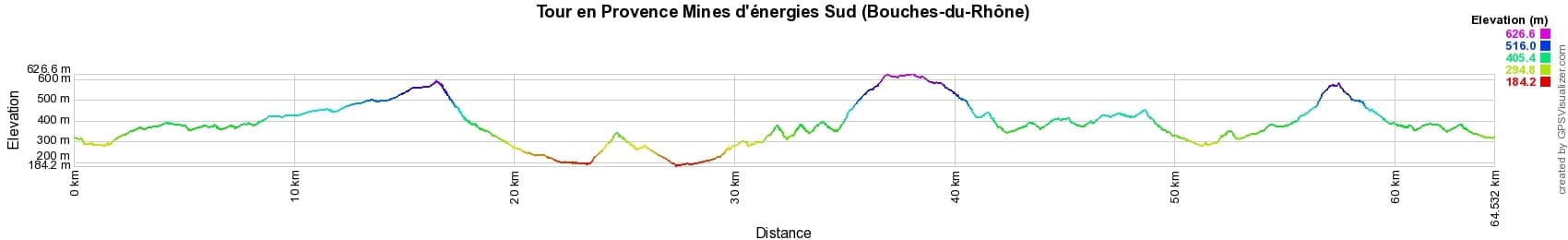
 Distance: 64km, Elevation maximum: 627m, Elevation minimum: 184m, Elevation gain uphill: 1878m
IGN Maps: 3143ET - AIX-EN-PROVENCE / VITROLLES / LAMBESC. 3145ET - MARSEILLE / LES CALANQUES. 3244ET - MONTAGNE SAINTE-VICTOIRE / AIX-EN-PROVENCE / GARDANNE / TRETS. 3245ET - AUBAGNE / LA CIOTAT / MASSIF DE LA SAINTE-BAUME.
Nearby paths:
![]() It is advisable to follow the beacons all along your hike and to bring the FFRandonnée topo-guide. You will also find information on MonGR.fr.
It is advisable to follow the beacons all along your hike and to bring the FFRandonnée topo-guide. You will also find information on MonGR.fr.
GR®, PR®, GRP® and the corresponding markings are trademarks of the French Federation of Hiking. They may not be reproduced without permission. The French Federation of Hiking, state-approved, includes organizations that maintain hiking routes. It publishes guides for these routes. With your donations, support the actions of the thousands of volunteer markers of the FFRandonnée.
GR-Infos.com is an editorial partner of MonGR.fr.
| Return |

Former holiday hotel with a garden along the Allier, L'Etoile Guest House is located in La Bastide-Puylaurent between Lozere, Ardeche, and the Cevennes in the mountains of Southern France. At the crossroads of GR®7, GR®70 Stevenson Path, GR®72, GR®700 Regordane Way, GR®470 Allier River springs and gorges, GRP® Cevenol, Ardechoise Mountains, Margeride. Numerous loop trails for hiking and one-day biking excursions. Ideal for a relaxing and hiking getaway.
Copyright©gr-infos.com (Authorization for private use only)
To help us maintain and improve GR-Infos.com, a contribution of 2€ is desired via Wero or bank transfer. Thank you!