
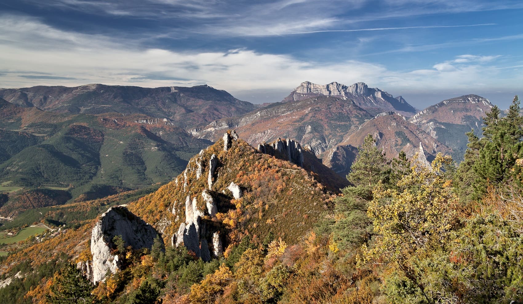
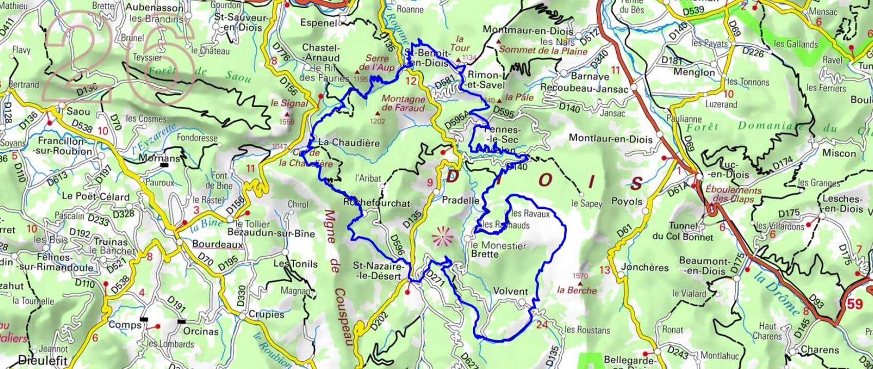
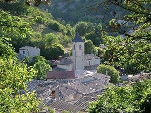
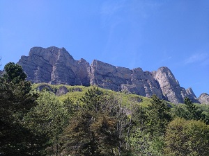
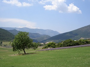
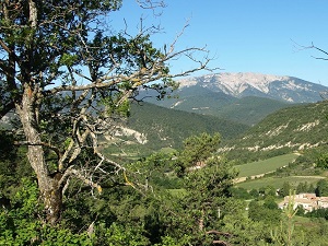
Starting from Saint-Nazaire-le-Désert, the trail crosses Rochefourchat, famous for being the least populated commune in France, a testament to a rural history marked by mass emigration. Climbing towards La Chaudière and the Col de la Chaudière pass, one discovers spectacular limestone ridge landscapes overlooking the Saou forest. The trail then reaches Saint-Benoît-en-Diois, where the heritage is revealed through its Romanesque church perched above the confluence of the turquoise waters of the Roanne River. Nature reigns supreme here: between the cliffs of Pennes-le-Sec and the suspended village of Aucelon, hikers wander through a mosaic of lavender, Scots pine, and juniper. Passing through Rimon-et-Savel offers breathtaking views of the perched syncline, while the isolated valleys of Brette and Volvent recall the rugged beauty of life in the Diois mountains.
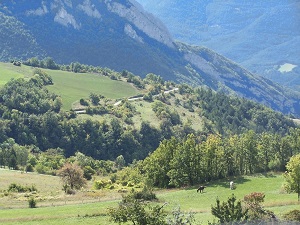
The valley is located in a transition zone between the Vercors and the Baronnies. The landscapes are therefore varied, with mountains, gorges, forests and plains. The Roanne River winds through the valley, creating magnificent landscapes. The valley is home to many picturesque villages, including Saillans, Saint-Benoit-en-Diois and Saint-Nazaire-le-Désert. These villages are located in magnificent positions, with stunning views across the valley. The most common trees in the area are oaks, pines, beeches and chestnuts. The most common shrubs are boxwood, hollies and broom. The most common flowers are roses, irises and violets. The most common wild plants are ferns, orchids and lichens.
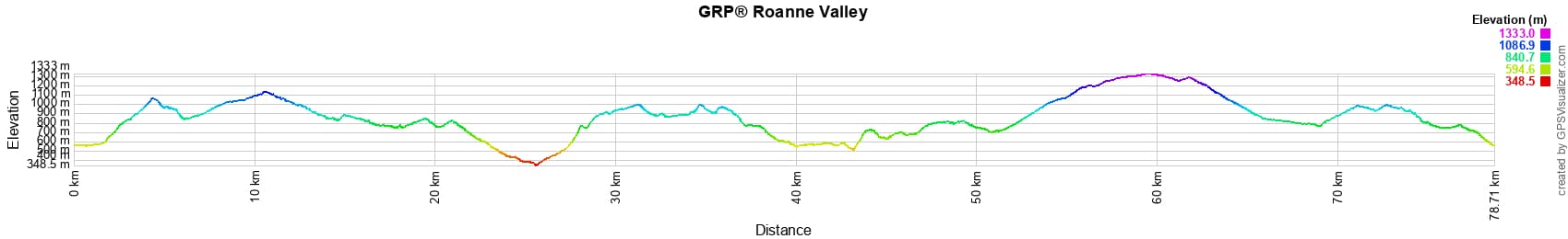
 Distance: 78km, Elevation maximum: 1333m, Elevation minimum: 348m, Elevation gain uphill: 3621m
IGN Maps: 3137OT - DIE CREST PNR DU VERCORS. 3138OT - DIEULEFIT. 3238OT - LUC-EN-DIOIS VALDROME COL DE CABRE.
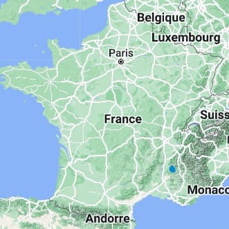
Nearby paths:
![]() It is advisable to follow the beacons all along your hike and to bring the FFRandonnée topo-guide. You will also find information on MonGR.fr.
It is advisable to follow the beacons all along your hike and to bring the FFRandonnée topo-guide. You will also find information on MonGR.fr.
GR®, PR®, GRP® and the corresponding markings are trademarks of the French Federation of Hiking. They may not be reproduced without permission. The French Federation of Hiking, state-approved, includes organizations that maintain hiking routes. It publishes guides for these routes. With your donations, support the actions of the thousands of volunteer markers of the FFRandonnée.
GR-Infos.com is an editorial partner of MonGR.fr.
| Return |

Former holiday hotel with a garden along the Allier, L'Etoile Guest House is located in La Bastide-Puylaurent between Lozere, Ardeche, and the Cevennes in the mountains of Southern France. At the crossroads of GR®7, GR®70 Stevenson Path, GR®72, GR®700 Regordane Way, GR®470 Allier River springs and gorges, GRP® Cevenol, Ardechoise Mountains, Margeride. Numerous loop trails for hiking and one-day biking excursions. Ideal for a relaxing and hiking getaway.
Copyright©gr-infos.com (Authorization for private use only)
To help us maintain and improve GR-Infos.com, a contribution of 2€ is desired via Wero or bank transfer. Thank you!