
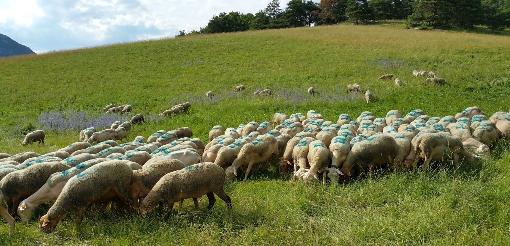
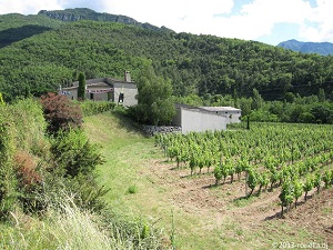
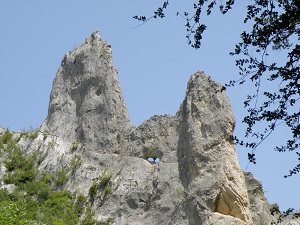
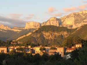
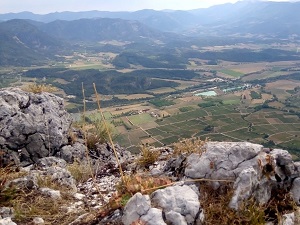
Located at the crossroads of the Northern Alps and Provence, the Diois is a land of contrasts sculpted by the Drôme River. This natural region is centered around its capital, Die, an ancient Gallo-Roman city whose ramparts and the Saint-Marcel gate bear witness to a rich ancient past. The territory is defined by a dramatic transition: limestone and Alpine peaks, such as the iconic Mont Aiguille and the Grand Veymont, give way to valleys with a Mediterranean feel. This diversity fosters exceptional biodiversity. The flora is remarkable, blending mountain edelweiss with lavender fields and vineyards producing the renowned Clairette de Die wine. As for fauna, the skies are home to griffon vultures and golden eagles, while the cliffs shelter chamois, ibex, and marmots.
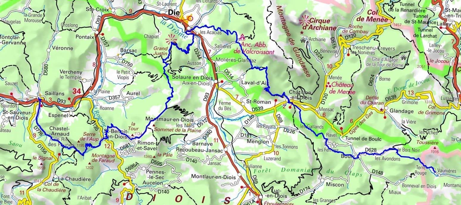
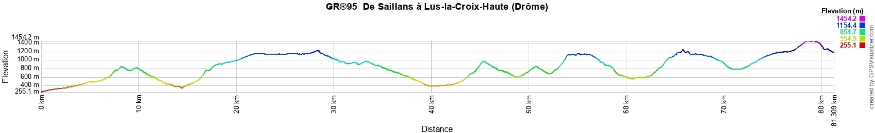
 Distance: 81km, Elevation maximum: 1469m, Elevation minimum: 260m, Elevation gain uphill: 4481m
IGN Maps: Combe Laval foret de Lente PNR du Vercors (3136ET). Die Crest PNR du Vercors (3137OT). Glandasse Croix-Haute Pass PNR du Vercors (3237OT). Luc-en-Diois Valdrome Cabre Pass (3238OT). Serres Veynes Haut Buech Bochaine (3338OT).
Nearby paths:
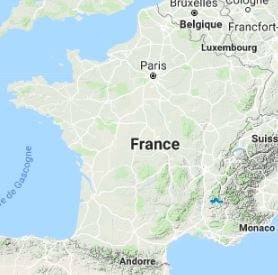
![]() It is advisable to follow the beacons all along your hike and to bring the FFRP topo-guide. You will also find information on MonGR.fr.
It is advisable to follow the beacons all along your hike and to bring the FFRP topo-guide. You will also find information on MonGR.fr.
® The GR® GRP® PR acronyms, as well as the corresponding trail signs (white/red, yellow and yellow/red), are trademarks of the Fédération Française de la Randonnée Pédestre. They may not be reproduced without its permission. The FFRP, recognized as being of public utility, groups together the associations which create and maintain the hiking routes on the GR® GRP® PR. It publishes topo-guides for these hiking routes. With your donations, support the actions of the thousands of volunteer markers of the FFRP.
GR-Infos.com is an editorial partner of MonGR.fr.
| Return |

Former holiday hotel with a garden along the Allier, L'Etoile Guest House is located in La Bastide-Puylaurent between Lozere, Ardeche and the Cevennes in the mountains of Southern France. At the crossroads of GR®7, GR®70 Stevenson trail, GR®72, GR®700 Regordane way, GR®470 Springs and Gorges of the Allier river, GRP® Cevenol, Ardechoise mountain, Margeride. Many loop routes for hiking and cycling for a day. Ideal for a relaxing and hiking stay.
Copyright©gr-infos.com (Authorization of use for private purposes only)
To help us maintain and improve GR-Infos.com, a contribution of 2€ is desired via Wero or bank transfer. Thank you!