
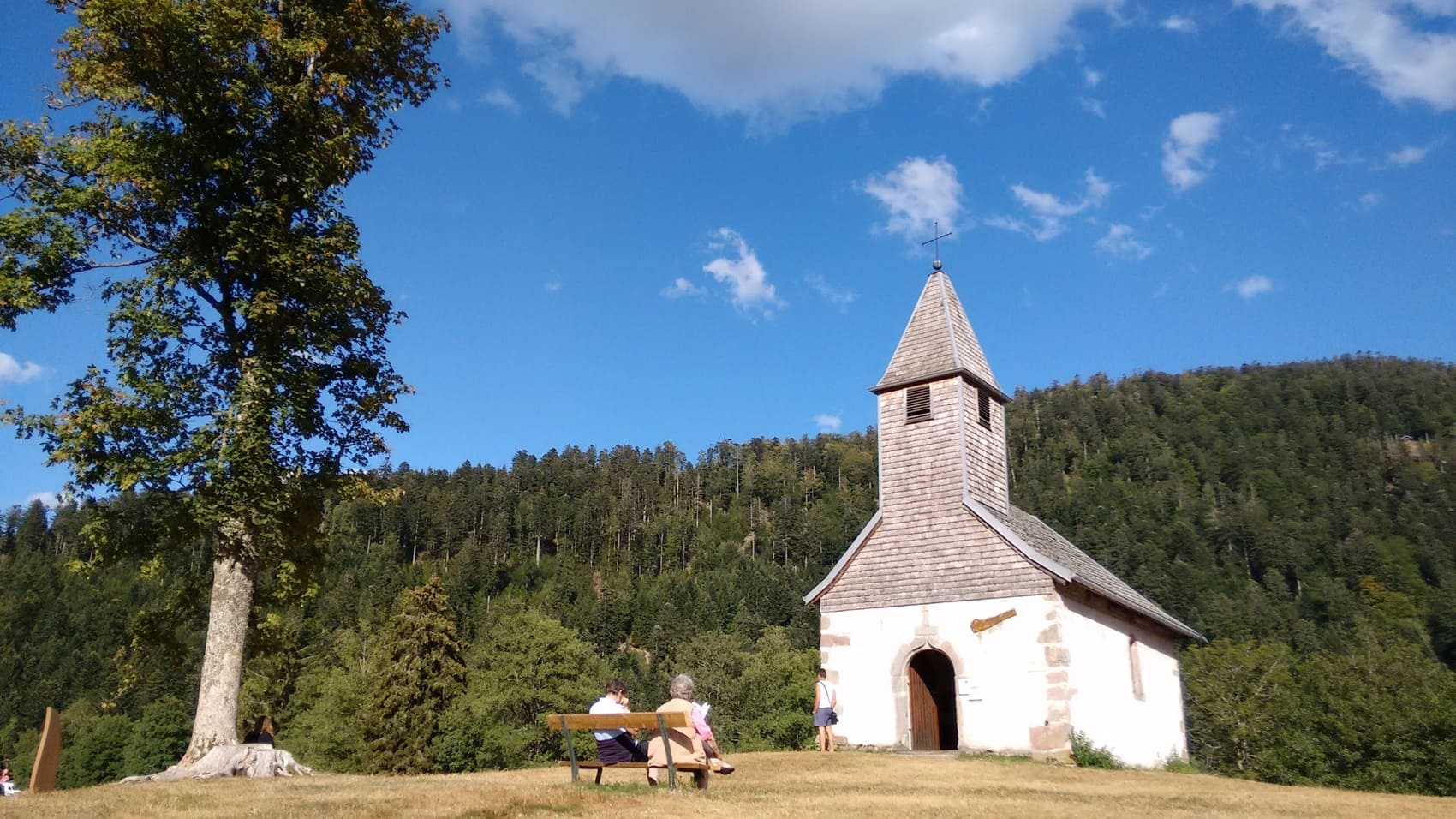
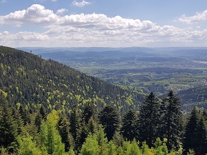
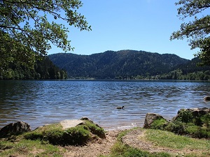
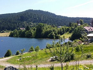
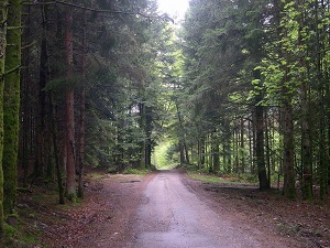
Starting in Saint-Dié-des-Vosges, the cradle of American cartography, this journey through southern Déodatie leads into the verdant valleys of Lusse and Wisembach. The trail climbs towards the peaks of Ban-de-Laveline and La Croix-aux-Mines, where old silver mines recall the Vosges Mountains' past industrial wealth. Nature reclaims its territory near Xonrupt-Longemer, revealing sparkling glacial lakes bordered by ancient fir trees, before reaching the "Pearl of the Vosges," Gérardmer, and its famous lake. The route then forks towards the peaceful woodlands of Liézey and the meadows of Granges-Aumontzey, offering panoramic views of the bluish ridgelines. Crossing Corcieux and La Houssière, hikers discover a rural heritage of granite and pink sandstone typical of the region.
Southern Déodatie, a jewel of the High Vosges centered around Saint-Dié, is a land of transition where the industrial history of textiles meets the majestic granite peaks. This territory is marked by a unique architectural heritage, from the abbeys of the "Line of Abbeys" to the workers' towns nestled in the valleys of the Meurthe and Fave rivers. The landscapes are spectacular, dominated by the famous Ballon des Vosges mountains and dense fir forests stretching as far as the eye can see. Nature expresses itself powerfully on the ridges, where the high plateaus offer 360° panoramas of the Alsace plain and the Alps on a clear day. Between deep blue glacial lakes and steep rocky cirques, wildlife, including chamois and capercaillie, finds a protected refuge here.
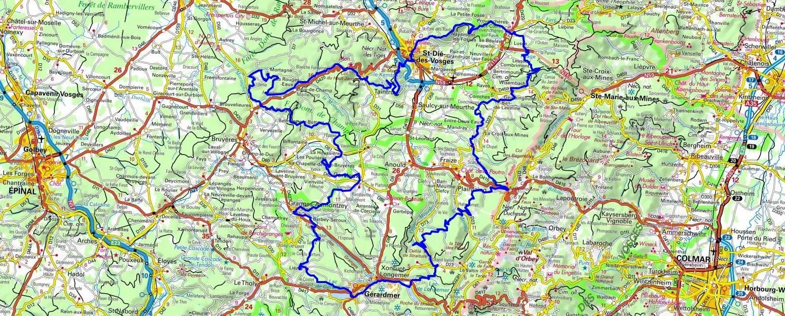
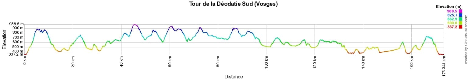
 Distance: 173km, Elevation maximum: 988m, Elevation minimum: 337m, Elevation gain uphill: 5428m
IGN Maps: 3617OT - SAINT-DIÉ-DES-VOSGES SENONES FRAIZE. 3517SB - RAMBERVILLERS CHÂTEL-SUR-MOSELLE. 3618OT - GÉRARDMER LE HOHNECK LA BRESSE. 3717ET - BARR LE HOHWALD VILLÉ HAUTE VALLÉE DE LA BRUCHE. 3718OT - SÉLESTAT COL DU BONHOMME SAINTE-MARIE-AUX-MINES KAYSERSBERG RIQUEWIHR. 3719OT - COLMAR LE HOHNECK VALLÉE DE MUNSTER.
|
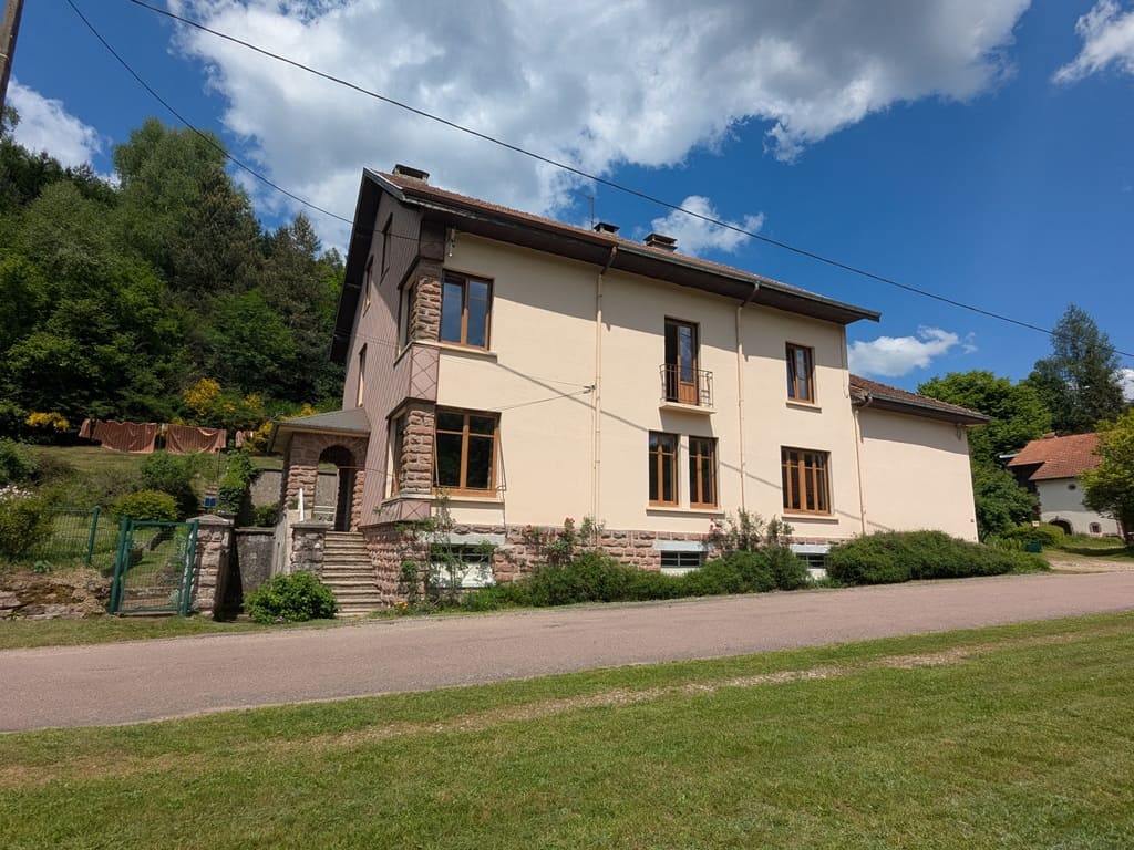
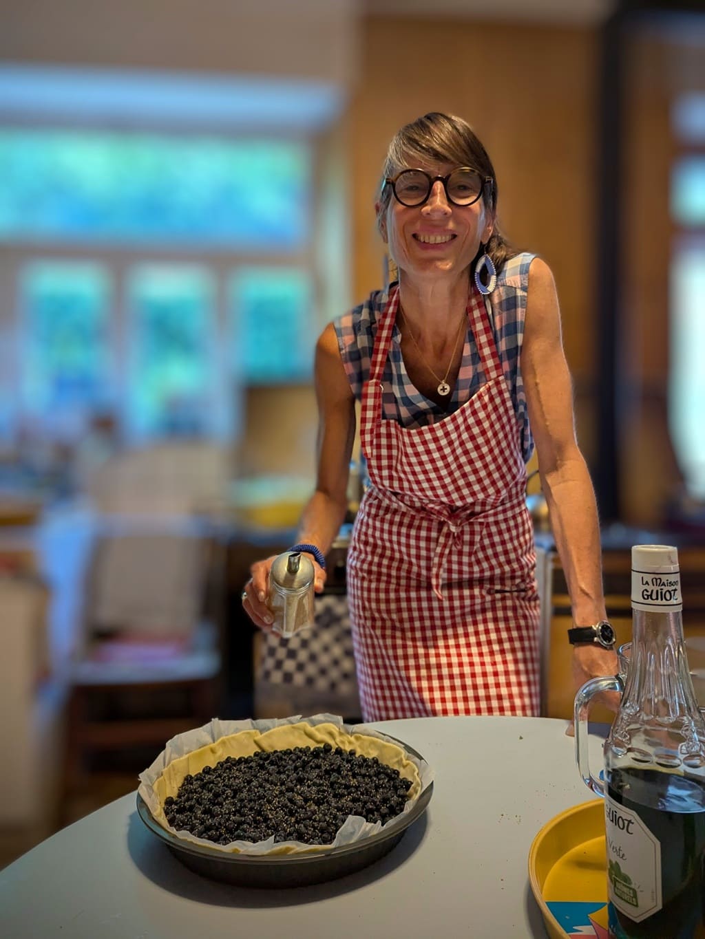
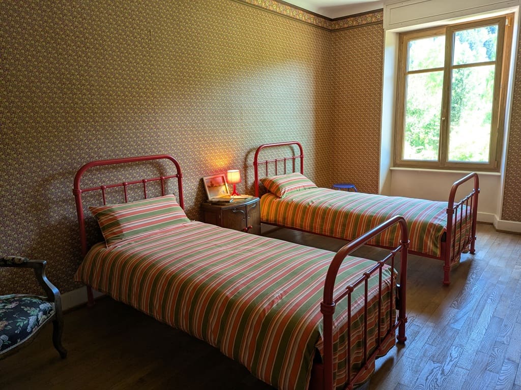
Les Rouges-Eaux: La Maison de Marie Bed and Breakfast, Marie Thomas, 430 rue de la Mairie, 88600 Les Rouges-Eaux, 06 74 12 94 48, Email. |
|
Nearby paths:
![]() It is advisable to follow the trail markers all along your hike and to bring the FFRandonnée topo-guide. You will also find information on MonGR.fr.
It is advisable to follow the trail markers all along your hike and to bring the FFRandonnée topo-guide. You will also find information on MonGR.fr.
GR®, PR®, GRP® and the corresponding markings are trademarks of the French Federation of Hiking. They may not be reproduced without permission. The French Federation of Hiking, state-approved, includes organizations that maintain hiking routes. It publishes guides for these routes. With your donations, support the actions of the thousands of volunteer markers of the FFRandonnée.
GR-Infos.com is an editorial partner of MonGR.fr.
| Return |

Former holiday hotel with a garden along the Allier, L'Etoile Guest House is located in La Bastide-Puylaurent between Lozere, Ardeche, and the Cevennes in the mountains of Southern France. At the crossroads of GR®7, GR®70 Stevenson Path, GR®72, GR®700 Regordane Way, GR®470 Allier River springs and gorges, GRP® Cevenol, Ardechoise Mountains, Margeride. Numerous loop trails for hiking and one-day biking excursions. Ideal for a relaxing and hiking getaway.
Copyright©gr-infos.com (Authorization for private use only)
To help us maintain and improve GR-Infos.com, a contribution of 2€ is desired via Wero or bank transfer. Thank you!