
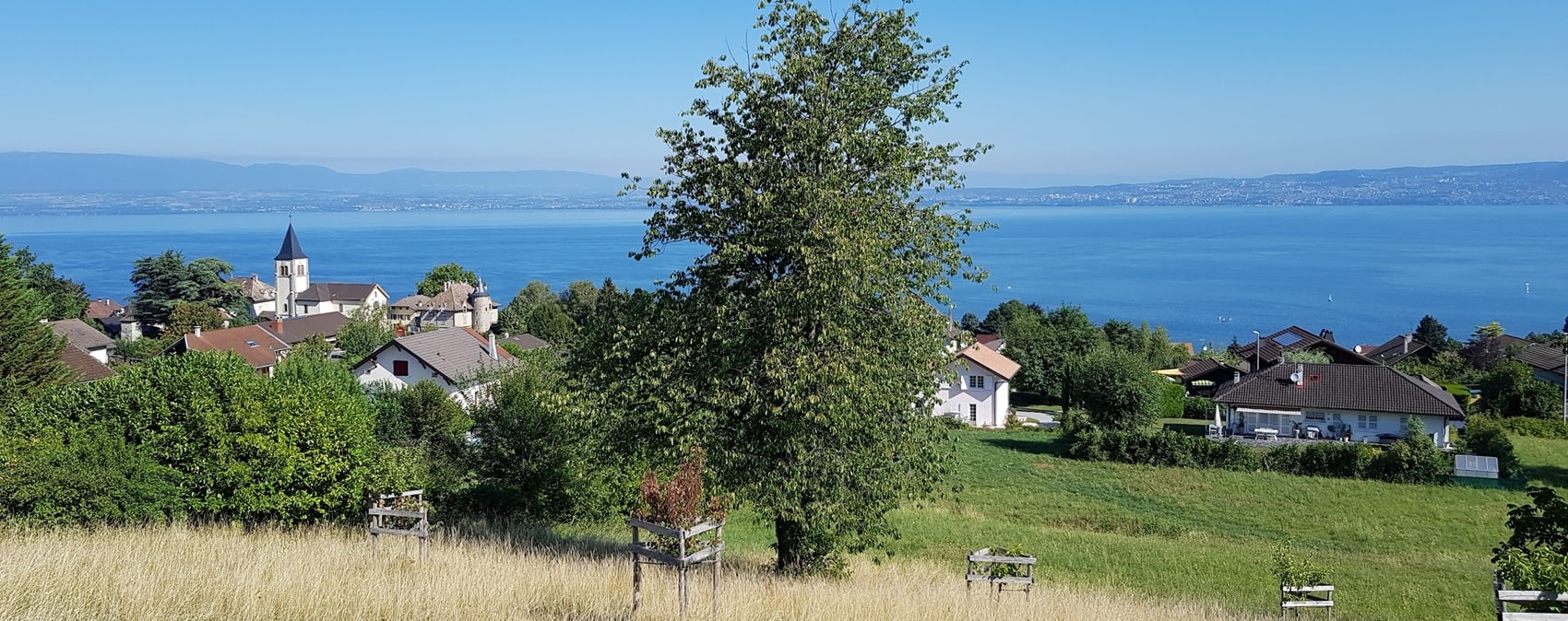
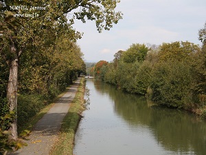
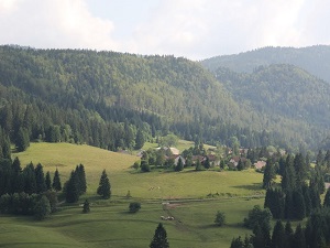
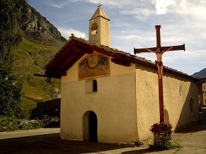
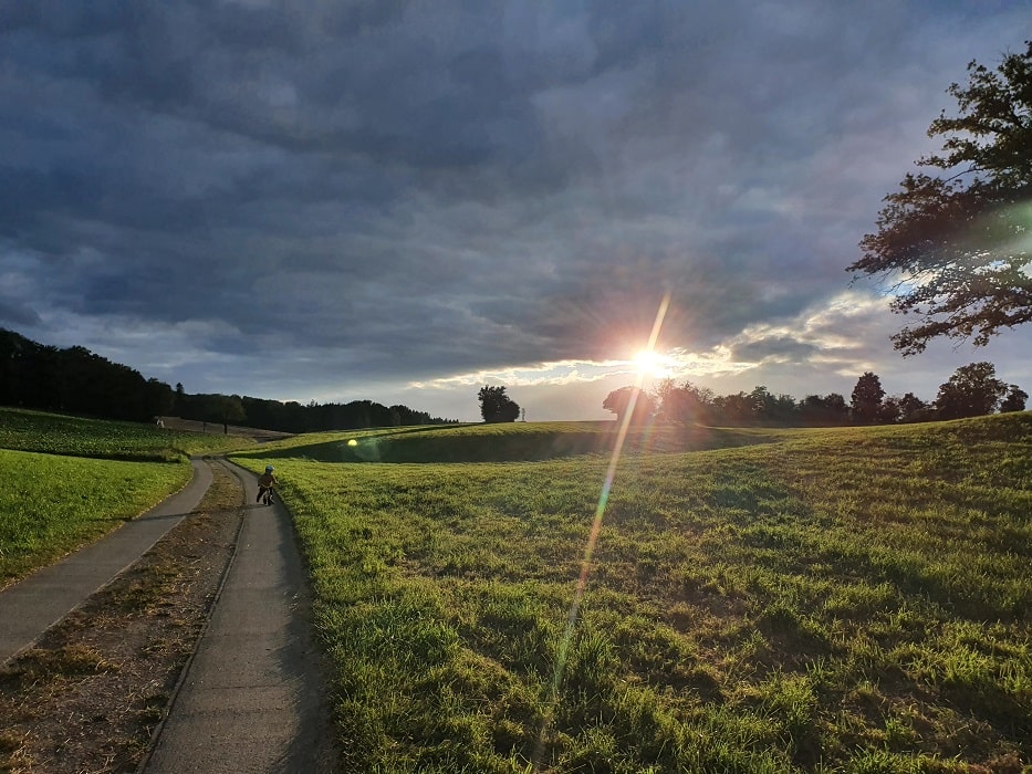
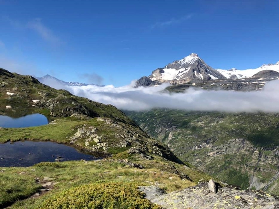
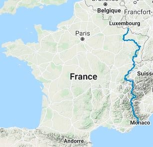
The GR®5 is a long-distance hiking trail that stretches from Luxembourg to Nice on the Côte d'Azur, passing through varied landscapes, historical sites and rich biodiversity. This route, several hundred kilometres long, allows hikers to discover a range of scenery, from the lush hills of Luxembourg to the rugged mountains of the Alps. The journey begins in Schengen, Luxembourg, where the landscape is marked by vineyards lining the Moselle River. Heading south, hikers traverse dense forests, picturesque valleys and alpine passes. The transition of landscapes is striking: from lush meadows to winding rivers, culminating in the majestic panoramas of the Alps. As one approaches the Mediterranean, the scenery becomes drier, with the bright blue of the sea as a backdrop.
Google Maps - Google Earth - GPX
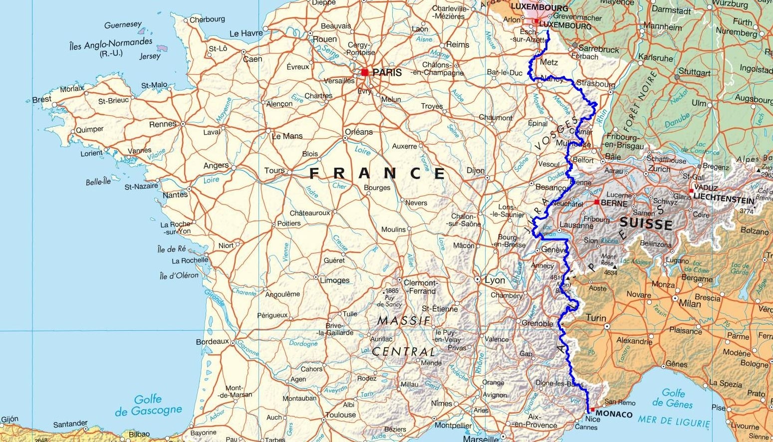
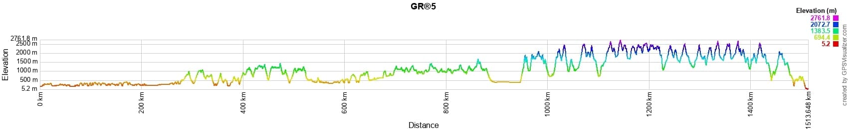
 Distance: 1526km, Elevation maximum: 2763m, Elevation minimum: 5m, Elevation gain uphill: 56777m
|
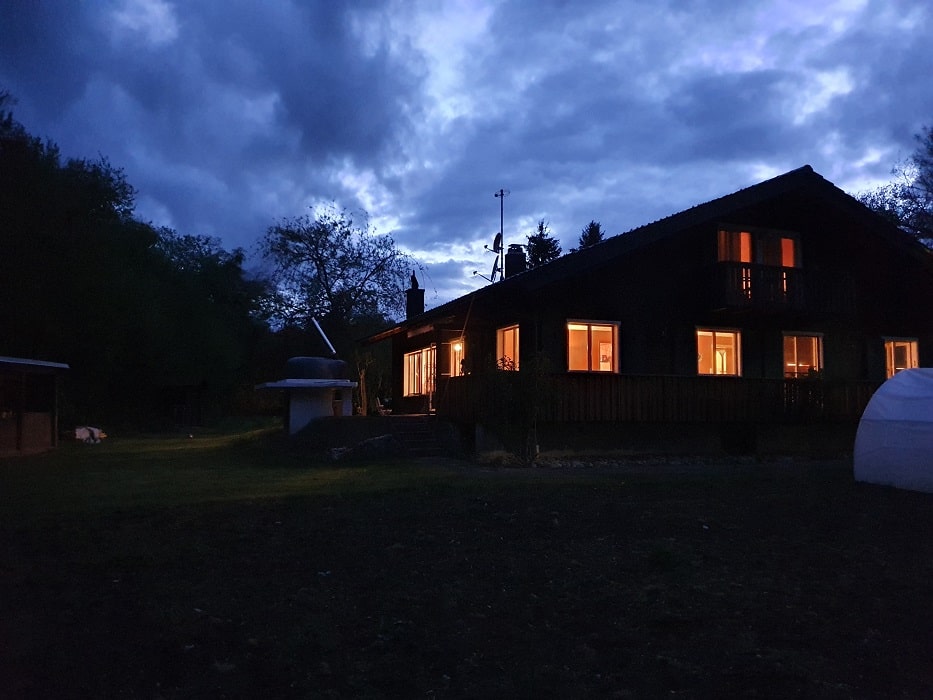
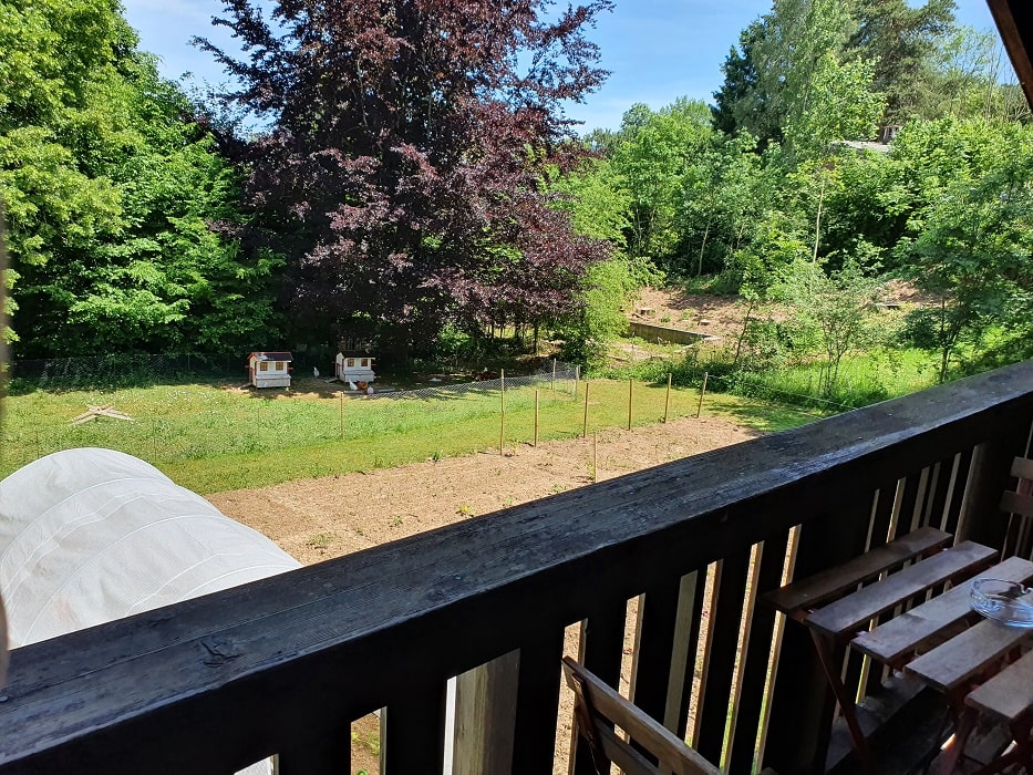
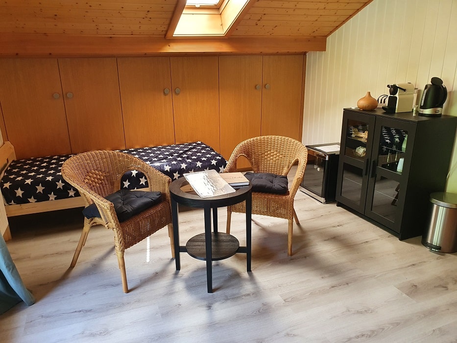
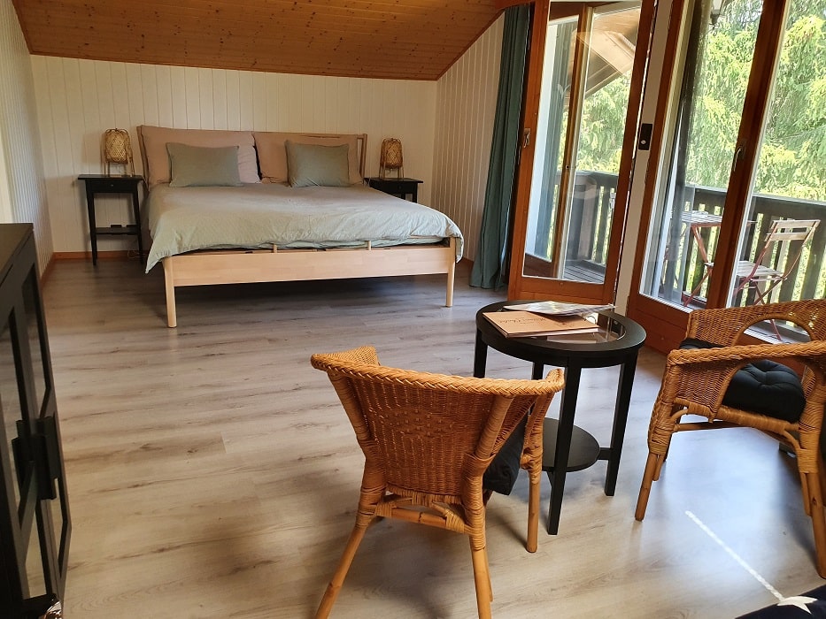
Grandfontaine (Switzerland): Chalet Guest house, M. Coppola, +41 786 746 470, Email, Instagram, Facebook. Spacious and comfortable rooms, table d'hôtes with local and homemade products. Hearty, varied and quality breakfasts. Packed lunches available for day outings to discover Ajoie. Bicycle rental possible. Large garden. |
|
|
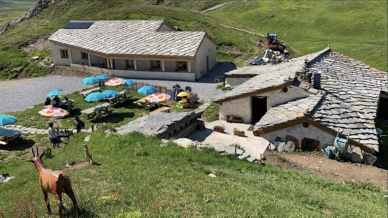
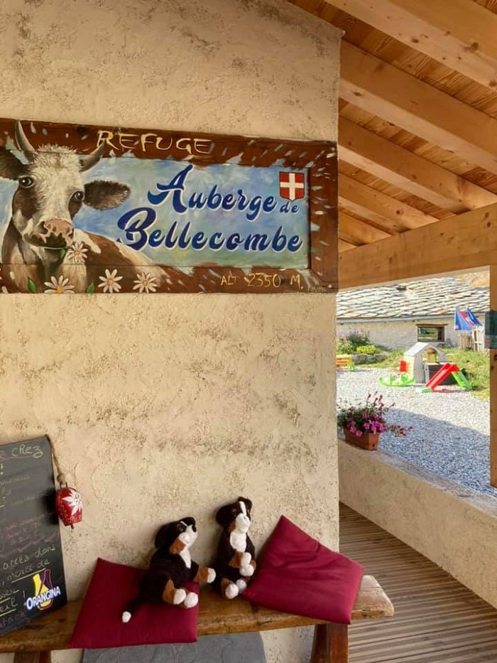
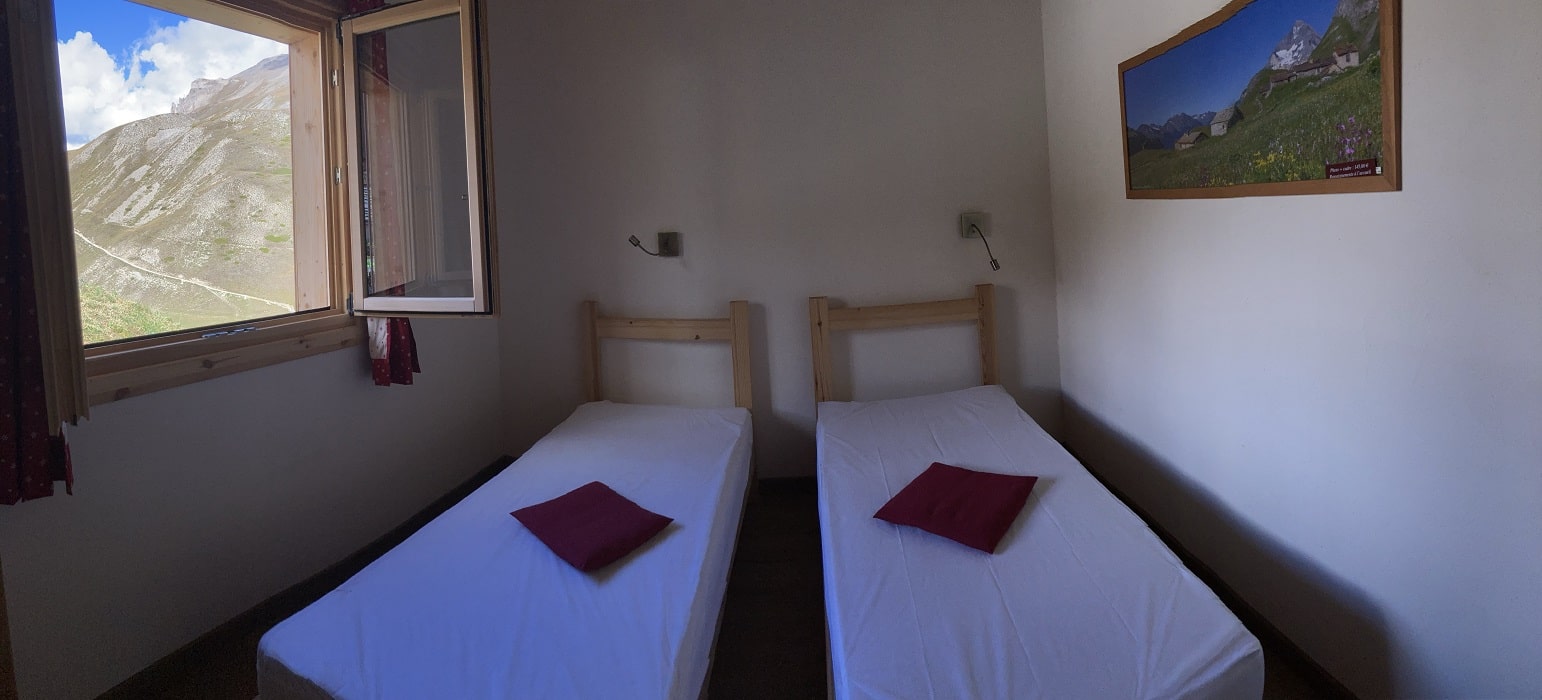
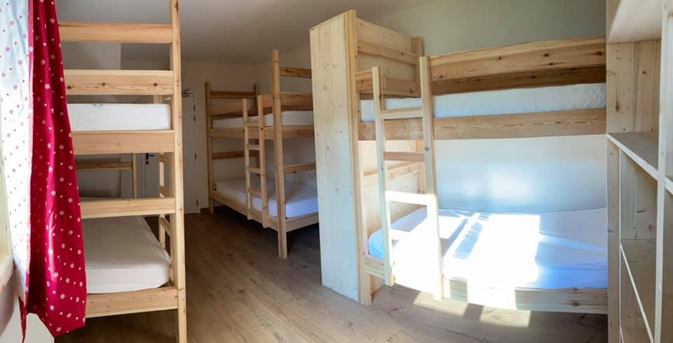
Termignon (Val Cenis): Refuge - Bellecombe Inn, M. Jacquemmoz, 04 79 56 32 70, 06 82 24 18 17, Email, Instagram, Facebook Authentic and comfortable family mountain refuge, located in the heart of the Vanoise National Park at an altitude of 2350m. Home cooking over a wood fire using local produce. Rooms for 2, 4 and 6 people, capacity 30 beds. Open from June to September by reservation. Half-board formula and packed lunches available on request. |
|
![]() It is advisable to follow the beacons all along your hike and to bring the FFRandonnée topo-guide. You will also find information on MonGR.fr.
It is advisable to follow the beacons all along your hike and to bring the FFRandonnée topo-guide. You will also find information on MonGR.fr.
GR®, PR®, GRP®, and the corresponding signs of markings (white/red, yellow and yellow/red) are trademarks of the French Federation of Hiking. They may not be reproduced without permission. The French Federation of Hiking, state-approved, includes organizations that create and maintain hiking routes on GR®, PR® and GRP®. It publishes topo-guides for these hiking routes. With your donations, support the actions of the thousands of volunteer markers of the FFRandonnée.
GR-Infos.com is an editorial partner of MonGR.fr.
| Return |

Former holiday hotel with a garden along the Allier, L'Etoile Guest House is located in La Bastide-Puylaurent between Lozere, Ardeche, and the Cevennes in the mountains of Southern France. At the crossroads of GR®7, GR®70 Stevenson Path, GR®72, GR®700 Regordane Way, GR®470 Allier River springs and gorges, GRP® Cevenol, Ardechoise Mountains, Margeride. Numerous loop trails for hiking and one-day biking excursions. Ideal for a relaxing and hiking getaway.
Copyright©gr-infos.com (Authorization for private use only)
To help us maintain and improve GR-Infos.com, a contribution of 2€ is desired via Wero or bank transfer. Thank you!