
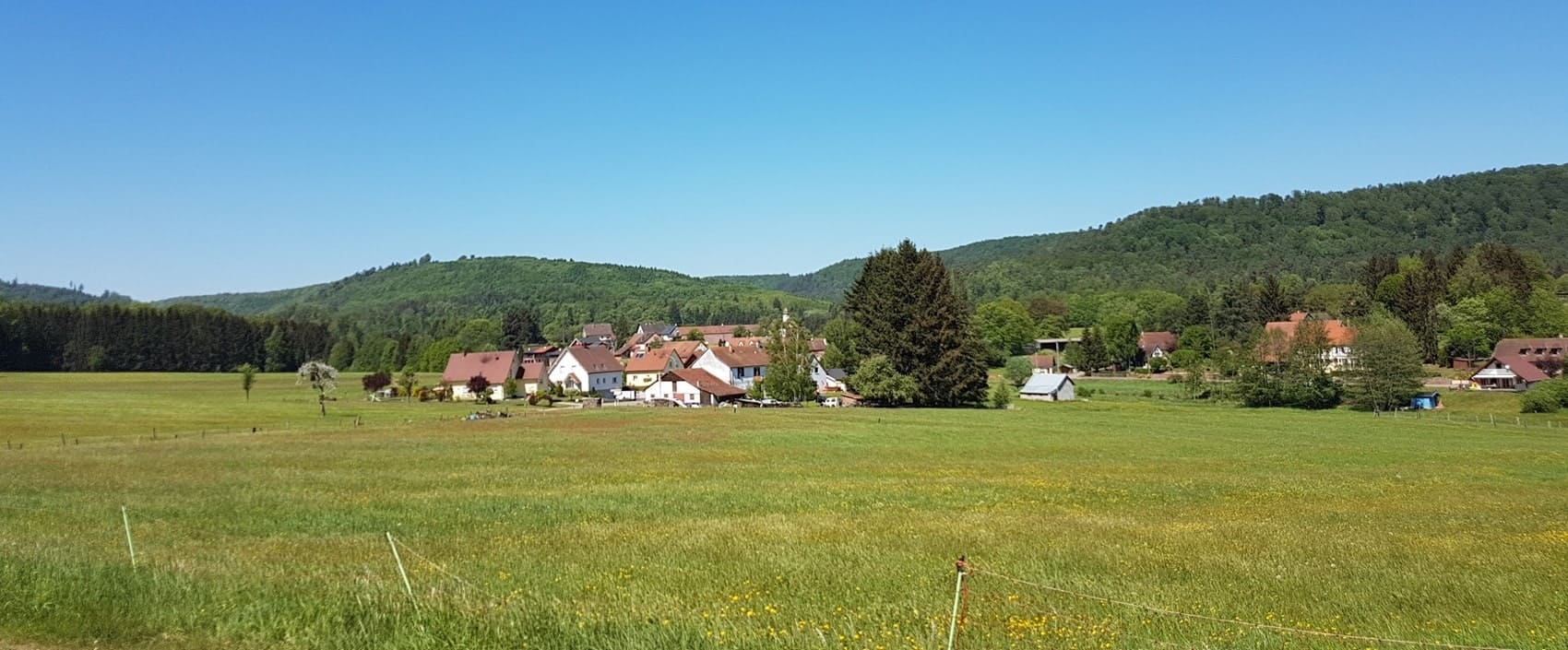
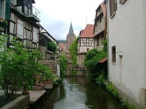
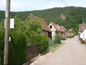
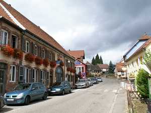
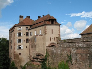
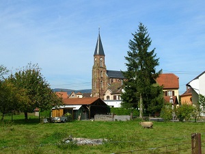
Crossing the Northern Vosges Mountains, the GR®53 offers a spectacular immersion between Wissembourg and the Col de l'Engin pass. This historic trail, a pioneer of long-distance hiking in France, winds through a forest of beech and Scots pine, home to the Eurasian lynx and the capercaillie. The landscape is marked by impressive spurs of pink sandstone, sculpted by time and erosion. This unique geology is listed as a UNESCO Global Geopark. The heritage is equally remarkable: the trail passes through fortified medieval villages, Romanesque churches and the impressive Maginot Line fortifications of the Bas-Rhin.
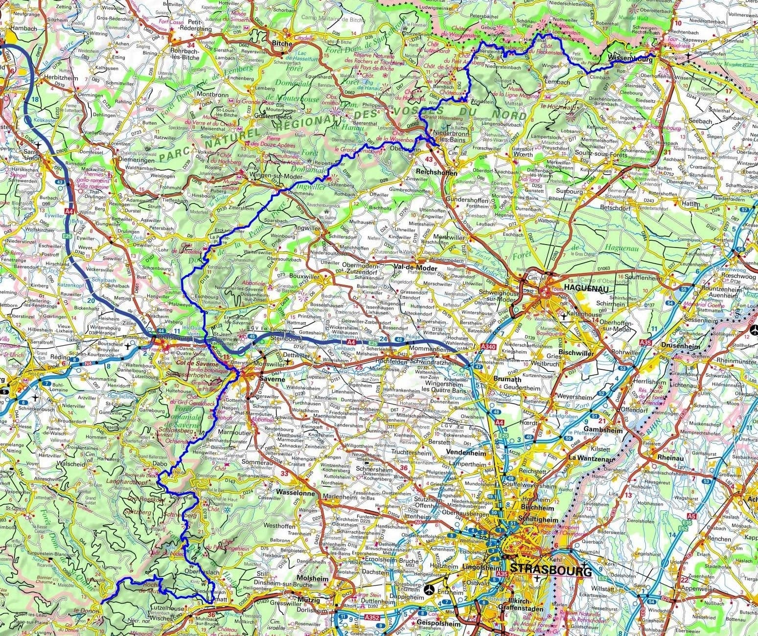
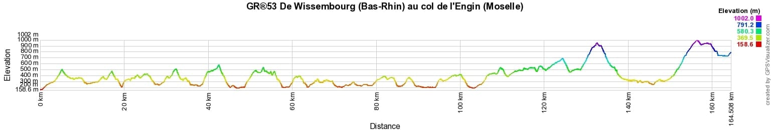
 Distance: 164km, Elevation maximum: 1002m, Elevation minimum: 159m, Elevation gain uphill: 5927m
Nearby paths:
![]() It is advisable to follow the beacons all along your hike and to bring the FFRandonnée topo-guide. You will also find information on MonGR.fr.
It is advisable to follow the beacons all along your hike and to bring the FFRandonnée topo-guide. You will also find information on MonGR.fr.
GR®, PR®, GRP®, and the corresponding signs of markings (white/red, yellow and yellow/red) are trademarks of the French Federation of Hiking. They may not be reproduced without permission. The French Federation of Hiking, state-approved, includes organizations that create and maintain hiking routes on GR®, PR® and GRP®. It publishes topo-guides for these hiking routes. With your donations, support the actions of the thousands of volunteer markers of the FFRandonnée.
GR-Infos.com is an editorial partner of MonGR.fr.
| Return |

Former holiday hotel with a garden along the Allier, L'Etoile Guest House is located in La Bastide-Puylaurent between Lozere, Ardeche, and the Cevennes in the mountains of Southern France. At the crossroads of GR®7, GR®70 Stevenson Path, GR®72, GR®700 Regordane Way, GR®470 Allier River springs and gorges, GRP® Cevenol, Ardechoise Mountains, Margeride. Numerous loop trails for hiking and one-day biking excursions. Ideal for a relaxing and hiking getaway.
Copyright©gr-infos.com (Authorization for private use only)
To help us maintain and improve GR-Infos.com, a contribution of 2€ is desired via Wero or bank transfer. Thank you!