
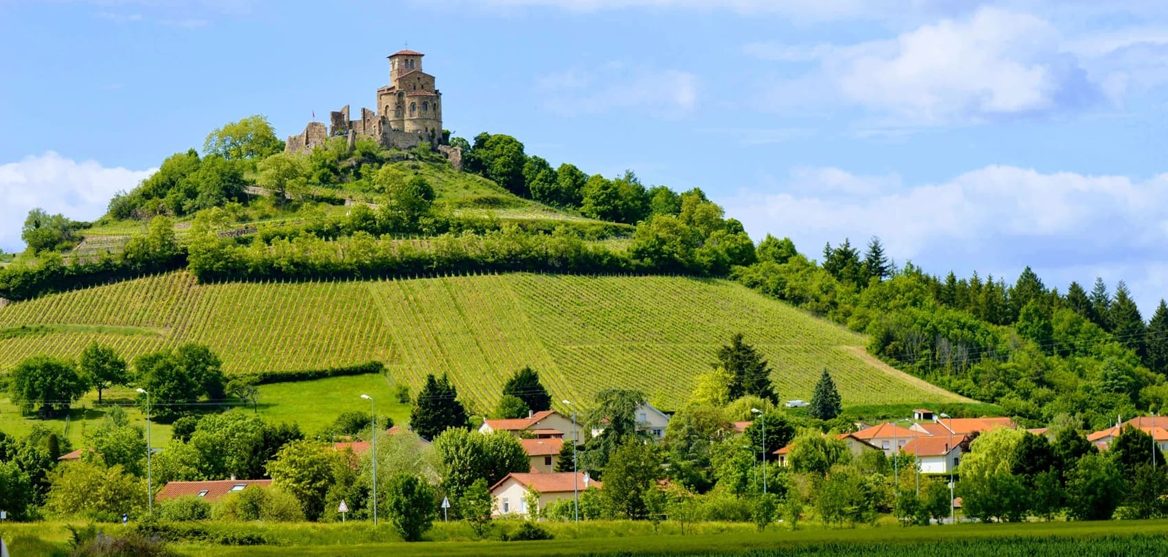
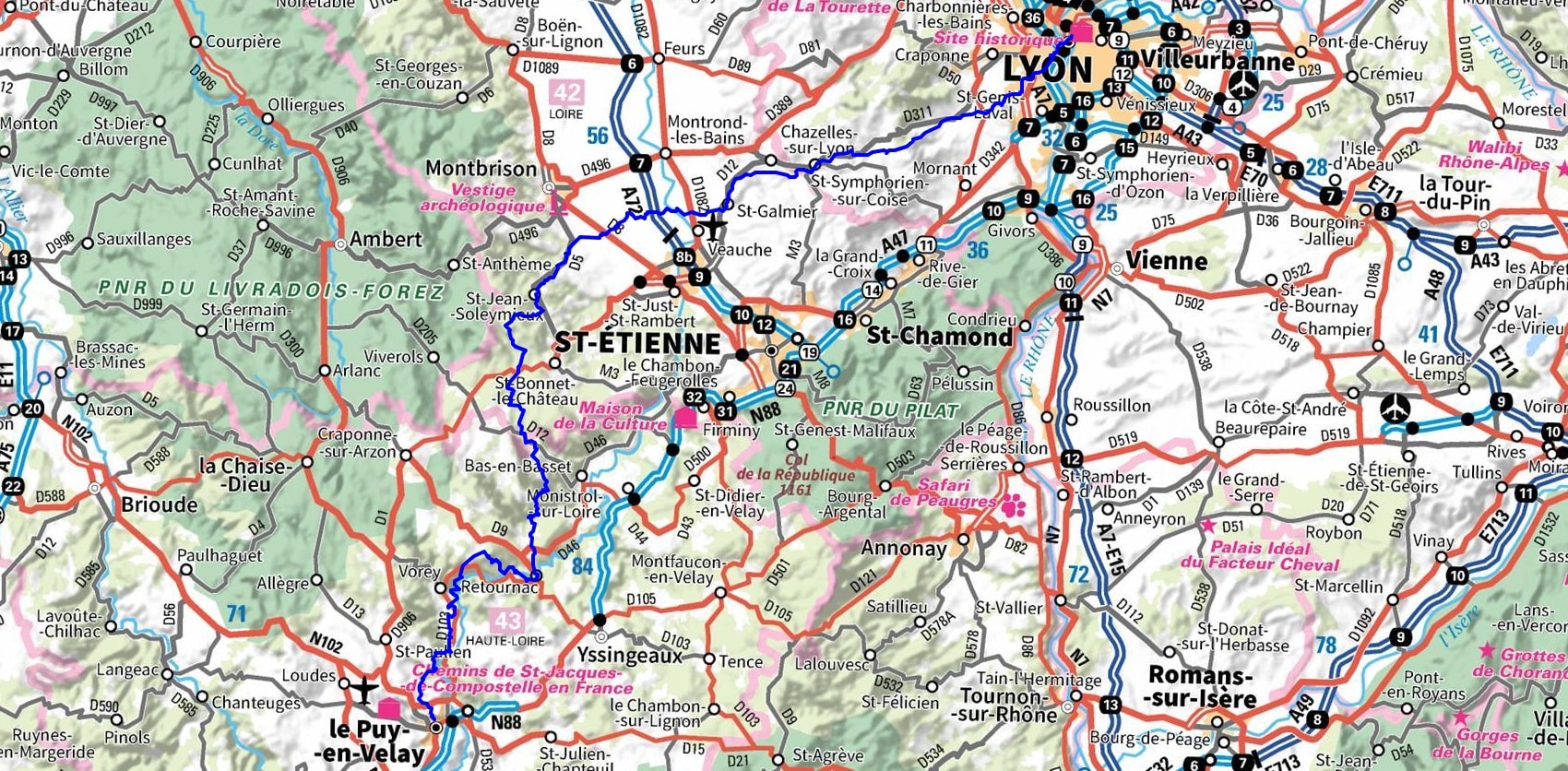
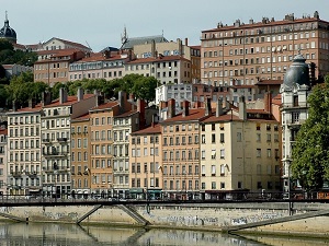
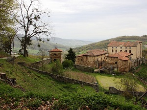
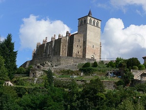
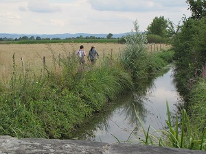
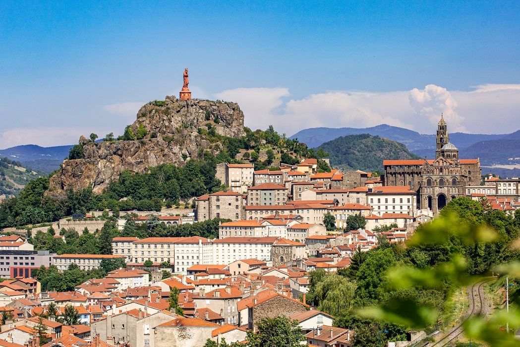
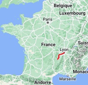
The GR765 East, towards Santiago de Compostela, is a historic and verdant diagonal route linking Lyon, the capital of Gaul, to the mystical city of Le Puy-en-Velay. This pilgrimage trail crosses the Monts du Lyonnais, offering rolling panoramas before reaching Saint-Symphorien-sur-Coise, listed among the most beautiful detours in France for its perched collegiate church. The route then becomes enriched by a dense medieval heritage, notably with the priory of Saint-Romain-le-Puy, a jewel of Romanesque art overlooking the Forez plain. Heading towards the Haute-Loire, the path follows the meanders of the wild Loire River, between Retournac and Vorey, where the gorges narrow to reveal landscapes of cliffs and deep forests. The passage through Lavoûte-sur-Loire, with its castle nestled in a bend of the river, foreshadows the majestic arrival at the volcanoes of Velay.

 Distance: 189km, Maximum elevation: 1167m, Minimum elevation: 161m, Total ascent: 5014m
IGN Maps: 3031OT - LYON / VILLEURBANNE / MONT D'OR. 3032SB - VENISSIEUX / OULLINS / GIVORS. 2832SB - MONTBRISON / VEAUCHE. 2833SB - FIRMINY / SAINT-BONNET-LE-Chateau. 2932ET - MONTS DU LYONNAIS. 2734SB - CRAPONNE-SUR-ARZON ALLÈGRE LA CHAISE-DIEU. 2834SB - MONISTROL-SUR-LOIRE RETOURNAC. 2735SB - LE PUY-EN-VELAY LOUDES. 2835OT - LE PUY-EN-VELAY YSSINGEAUX.
|
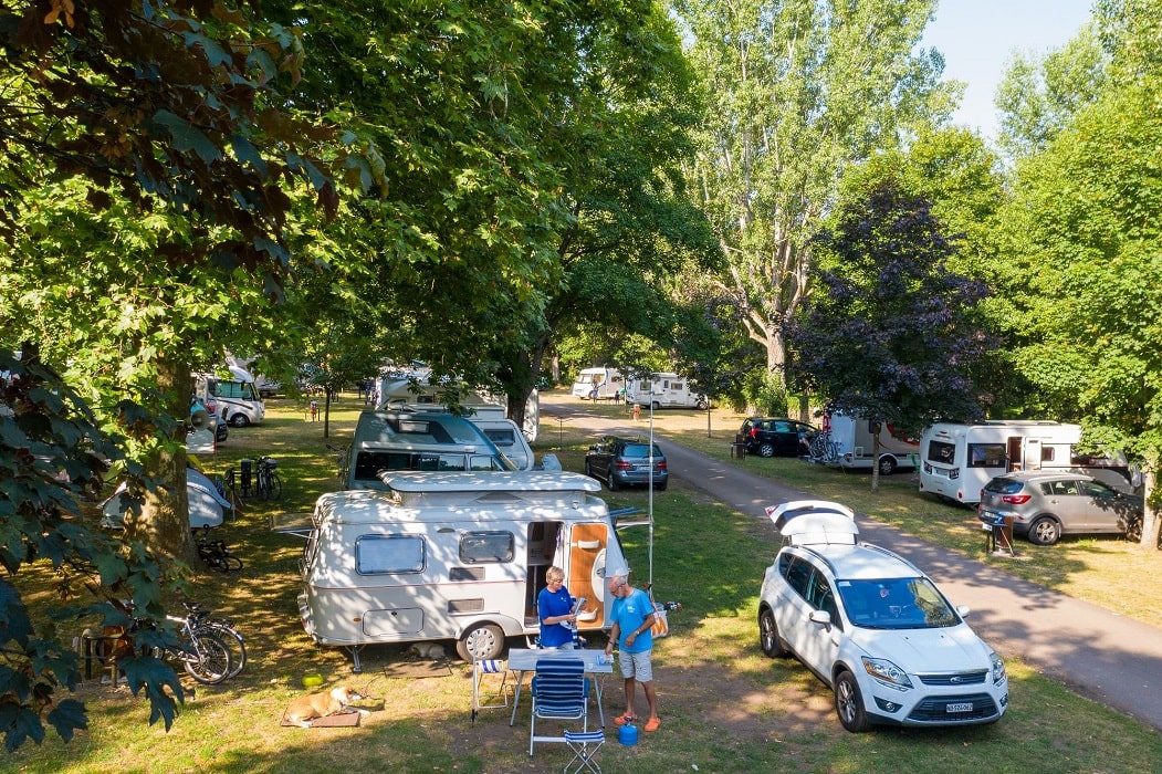
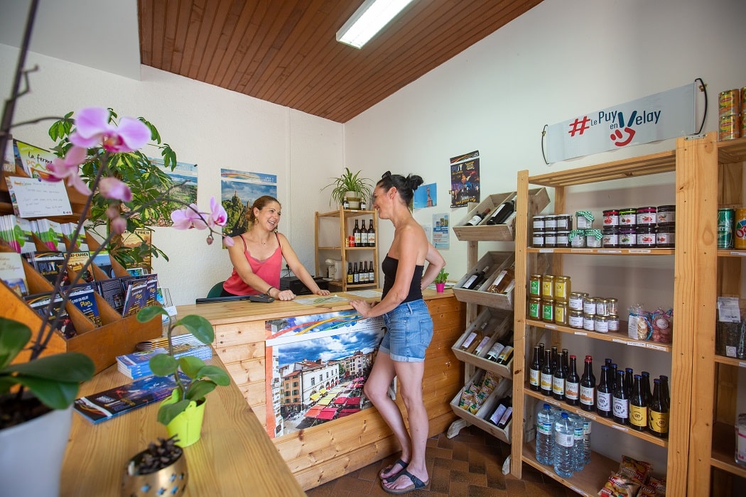
Aiguilhe: Puy-en-Velay Camping***, 04 71 09 55 09, Email. |


|
Nearby paths:
![]() It is advisable to follow the beacons all along your hike and to bring the FFRandonnee topo-guide with you. You will also find information on MonGR.fr.
It is advisable to follow the beacons all along your hike and to bring the FFRandonnee topo-guide with you. You will also find information on MonGR.fr.
GR®, PR®, GRP®, and the corresponding signs of markings (white / red, yellow and yellow / red) are trademarks of the French Federation of Hiking. They may not be reproduced without permission. The French Federation of Hiking, state-approved, includes organizations that create and maintain hiking routes on GR®, PR® and GRP®. It publishes guides for these topo hiking routes. With your donations, you support the actions of the thousands of volunteer markers of the FFRandonnee.
GR-Infos.com is an editorial partner of MonGR.fr.
| Return |

Former holiday hotel with a garden along the Allier, L'Etoile Guest House is located in La Bastide-Puylaurent between Lozere, Ardeche, and the Cevennes in the mountains of Southern France. At the crossroads of GR®7, GR®70 Stevenson Path, GR®72, GR®700 Regordane Way, GR®470 Allier River springs and gorges, GRP® Cevenol, Ardechoise Mountains, Margeride. Numerous loop trails for hiking and one-day biking excursions. Ideal for a relaxing and hiking getaway.
Copyright©gr-infos.com (Authorization for private use only)
To help us maintain and improve GR-Infos.com, a contribution of 2€ is desired via Wero or bank transfer. Thank you!