
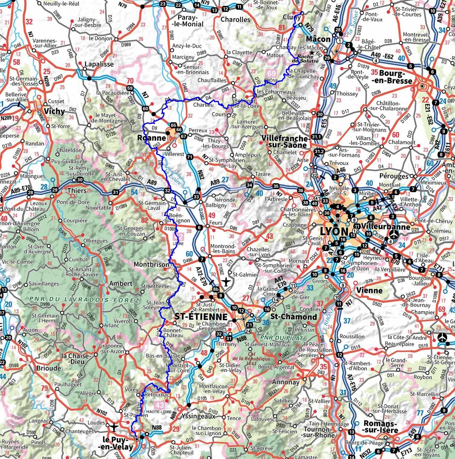
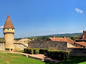
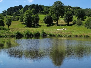
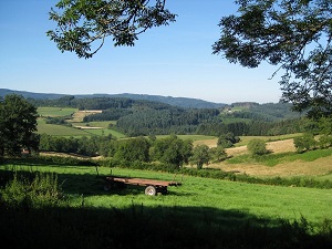
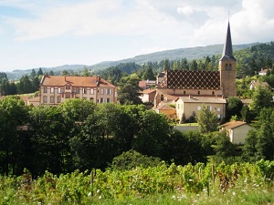
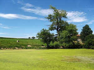
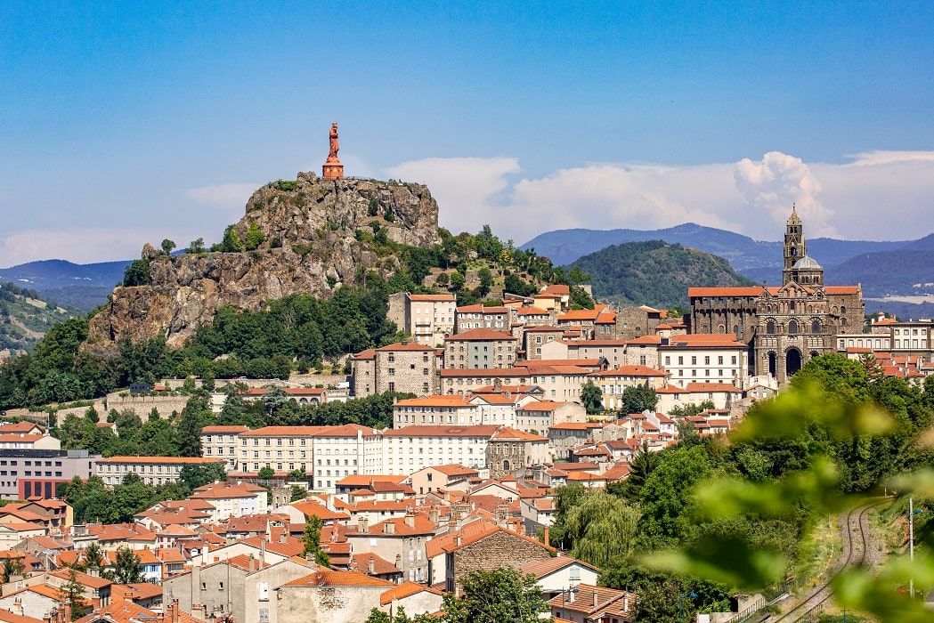
The GR765, a link between Burgundy and Auvergne, is a historic pilgrimage route connecting Cluny Abbey to Le Puy-en-Velay Cathedral. This journey begins under the spiritual influence of the "Maior Ecclesia" (Main Church), crossing the hills of the Cluny region before entering the medieval heartland of Charlieu and its Benedictine abbey. The path then meanders through the vineyards of the Côte Roannaise towards Renaison and the Monts du Forez. Heritage is revealed at every stage, from the majestic Montverdun Abbey perched atop its volcanic peak to the historic town of Montbrison, former capital of the Counts of Forez. Upon entering the Haute-Loire department, the landscape becomes wilder and more rugged, following the meanders of the untamed Loire River. Between Retournac, Vorey and the spectacular castle of Lavoûte-sur-Loire, the hiker moves through the heart of deep gorges and basalt peaks.

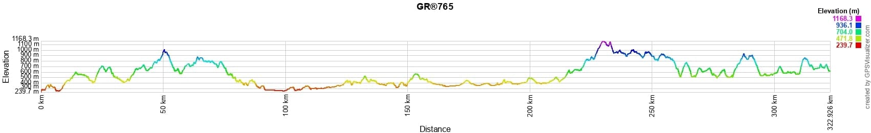
 Distance: 323km, Maximum elevation: 1169m, Minimum elevation: 244m, Total ascent: 6479m
IGN Maps: 2830SB - ROANNE / THIZY-LES-BOURGS. 2831SB - FEURS / BOEN. 2832SB - MONTBRISON / VEAUCHE. 2833SB - FIRMINY / SAINT-BONNET-LE-CHATEAU. 2733SB - ARLANC/SAINT-ANTHEME. 2734SB - CRAPONNE-SUR-ARZON/ALLEGRE/CHAISE-DIEU. 2835OT - LE PUY-EN-VELAY / YSSINGEAUX. 2735SB - LE PUY-EN-VELAY/LOUDES.
|
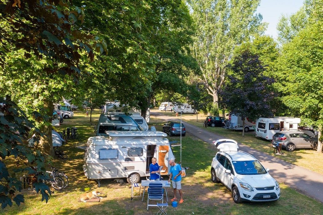
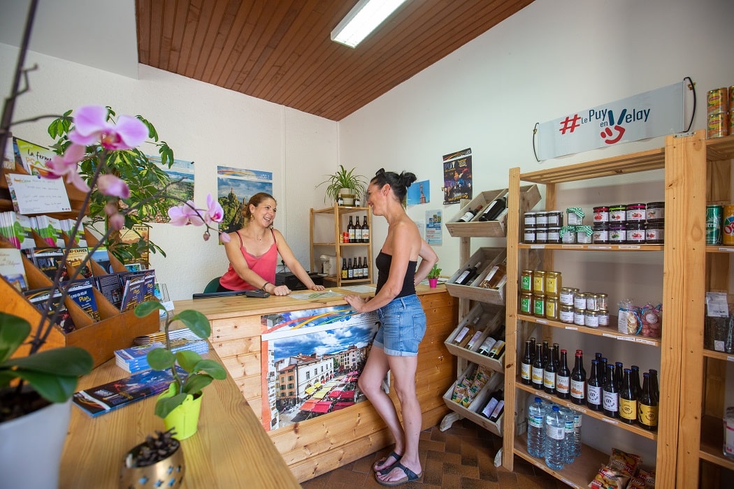
Aiguilhe: Puy-en-Velay Camping***, 04 71 09 55 09, Email. |


|

Nearby paths:
![]() It is advisable to follow the beacons all along your hike and to bring the FFRandonnee topo-guide with you. You will also find information on MonGR.fr.
It is advisable to follow the beacons all along your hike and to bring the FFRandonnee topo-guide with you. You will also find information on MonGR.fr.
GR®, PR®, GRP®, and the corresponding signs of markings (white / red, yellow and yellow / red) are trademarks of the French Federation of Hiking. They may not be reproduced without permission. The French Federation of Hiking, state-approved, includes organizations that create and maintain hiking routes on GR®, PR® and GRP®. It publishes guides for these topo hiking routes. With your donations, you support the actions of the thousands of volunteer markers of the FFRandonnee.
GR-Infos.com is an editorial partner of MonGR.fr.
| Return |

Former holiday hotel with a garden along the Allier, L'Etoile Guest House is located in La Bastide-Puylaurent between Lozere, Ardeche, and the Cevennes in the mountains of Southern France. At the crossroads of GR®7, GR®70 Stevenson Path, GR®72, GR®700 Regordane Way, GR®470 Allier River springs and gorges, GRP® Cevenol, Ardechoise Mountains, Margeride. Numerous loop trails for hiking and one-day biking excursions. Ideal for a relaxing and hiking getaway.
Copyright©gr-infos.com (Authorization for private use only)
To help us maintain and improve GR-Infos.com, a contribution of 2€ is desired via Wero or bank transfer. Thank you!