
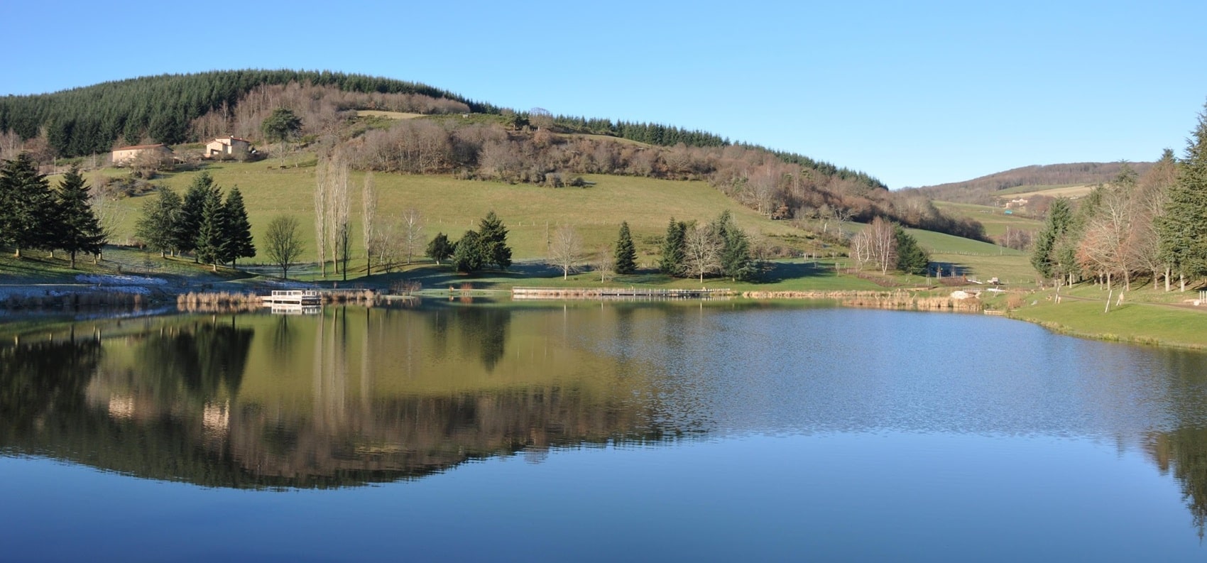
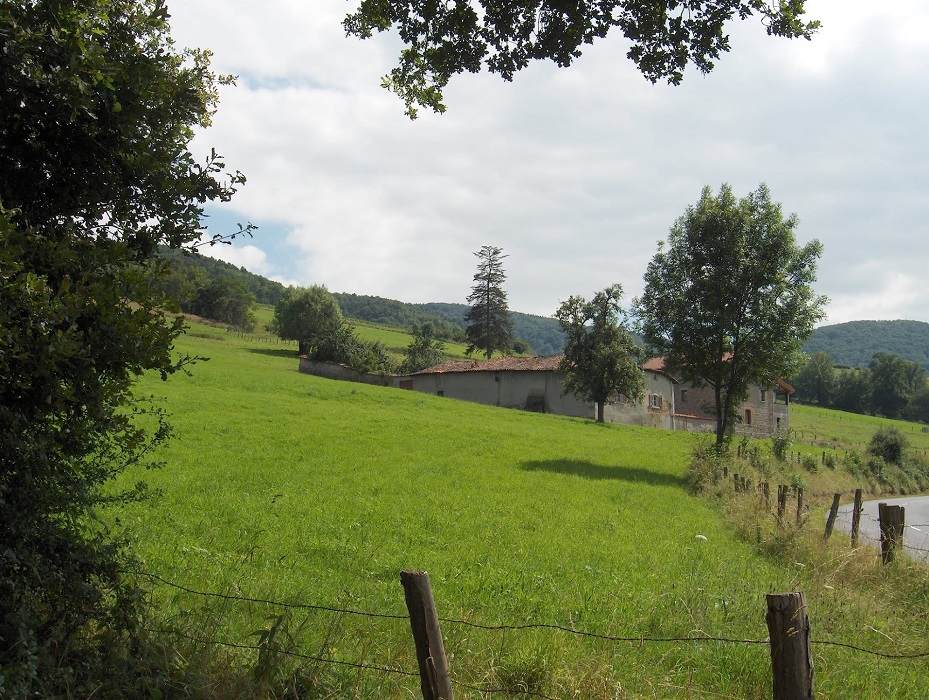
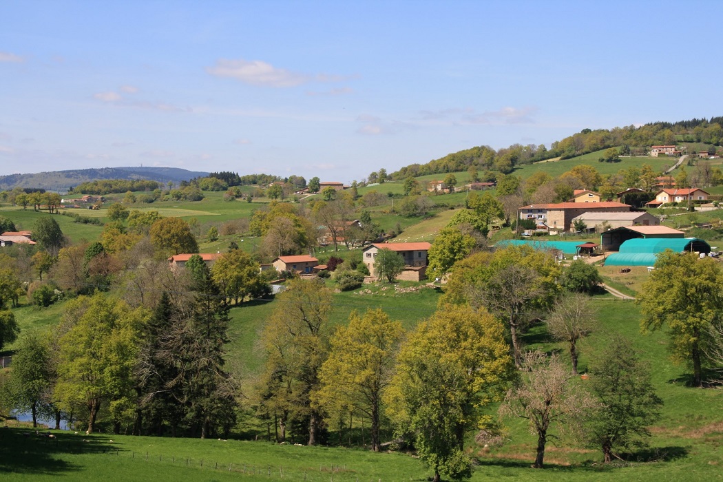
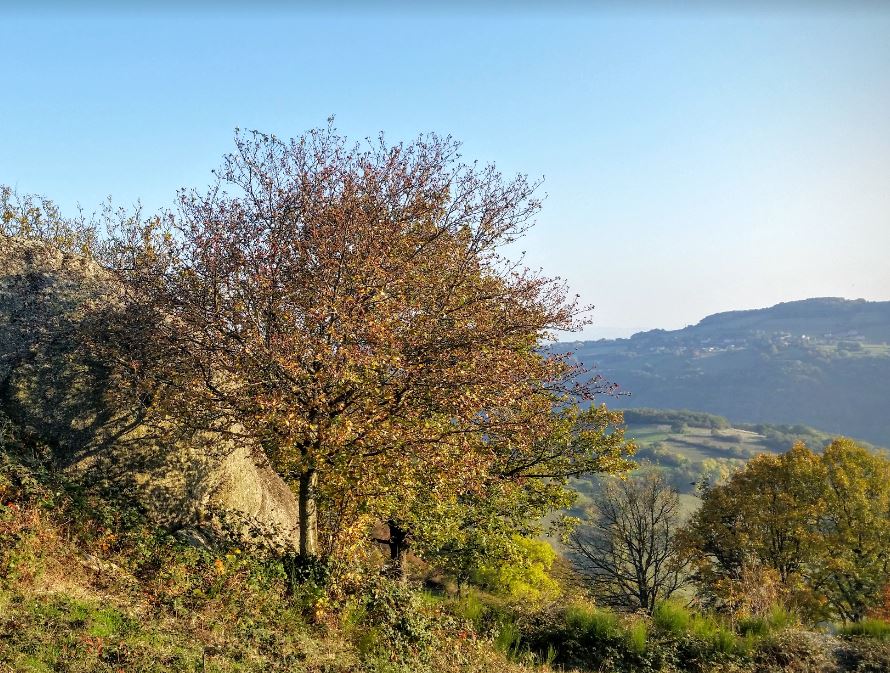
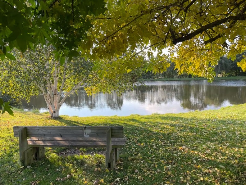
Starting from Saint-Symphorien-sur-Coise, the trail descends towards Sainte-Foy-l'Argentière and Saint-Laurent-de-Chamousset, traversing a landscape of verdant hills where traditional agriculture has shaped the scenery for centuries. Passing through Montrottier and Savigny, the heritage is revealed through the remains of ancient abbeys and medieval castles that once guarded the trade routes. The terrain becomes more pronounced towards Yzeron, a veritable natural balcony offering breathtaking views of the Rhône Valley and the Alps on a clear day. Here, nature alternates between deciduous forests, cherry orchards in Bessenay, and wild granite ridges. The route then reaches Saint-Martin-en-Haut and the medieval town of Riverie, nestled on a rocky spur steeped in history. In Larajasse, the hidden valleys and dirt tracks evoke the rural soul of this region.
The history of the Monts du Lyonnais dates back to antiquity. The region was then inhabited by the Gauls, who cultivated grapes and forests. The Romans later made improvements to the vineyard and developed the region. In the Middle Ages, the Monts du Lyonnais were an important wine-growing center. Wines were exported throughout Europe. The nature of the Monts du Lyonnais is rich and diverse. There is a wide variety of animal and plant species found there. Forests are home to deer, boars, roe deer, and many birds. Vineyards are an important habitat for insects, birds, and bats.
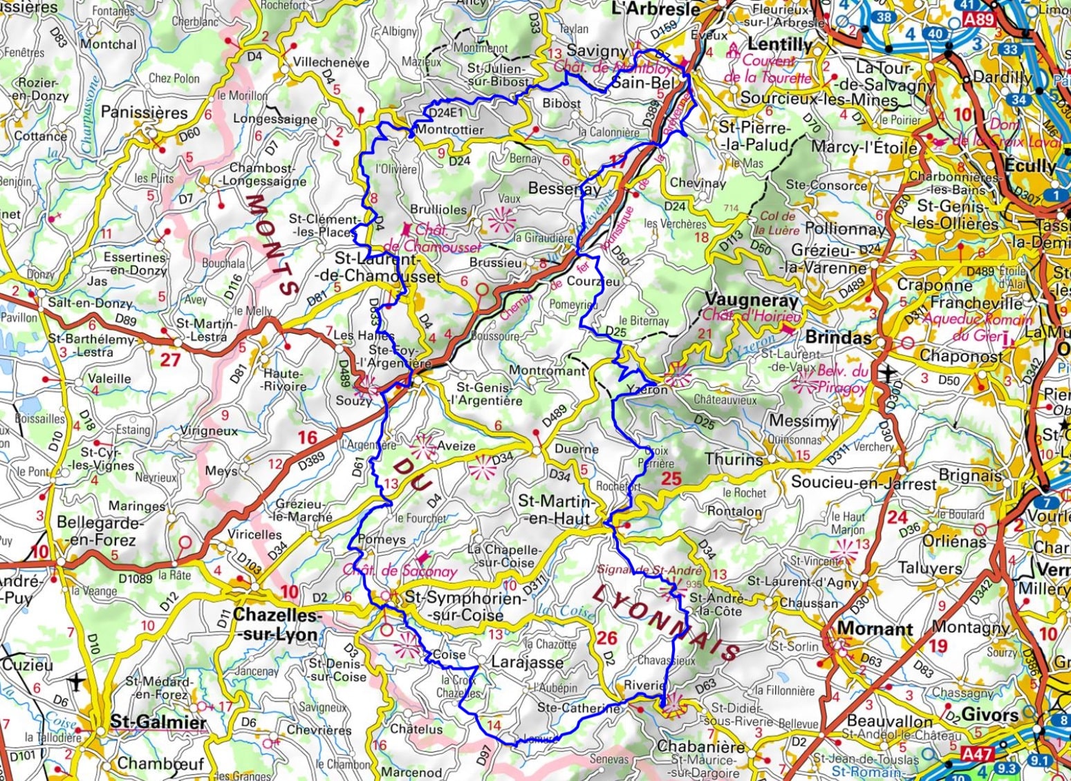
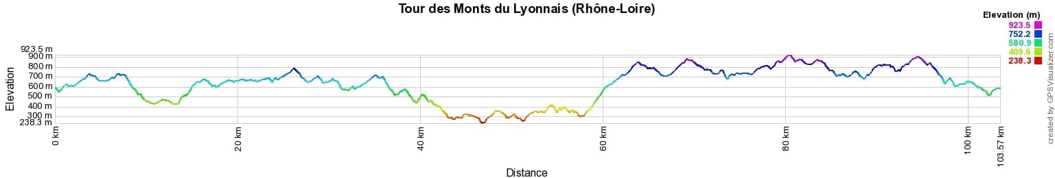
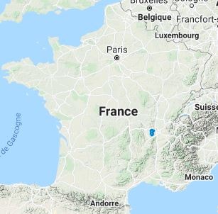
 Distance: 104km, Elevation maximum: 936m, Elevation minimum: 240m, Elevation gain uphill: 3218m
IGN Maps: L'Arbresle Monts de Tarare Col de la Luere - 2931ET. Monts du Lyonnais - 2932ET. Lyon Villeurbanne Mont d'Or - 3031OT.
|
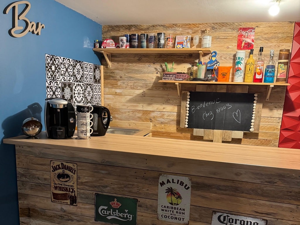
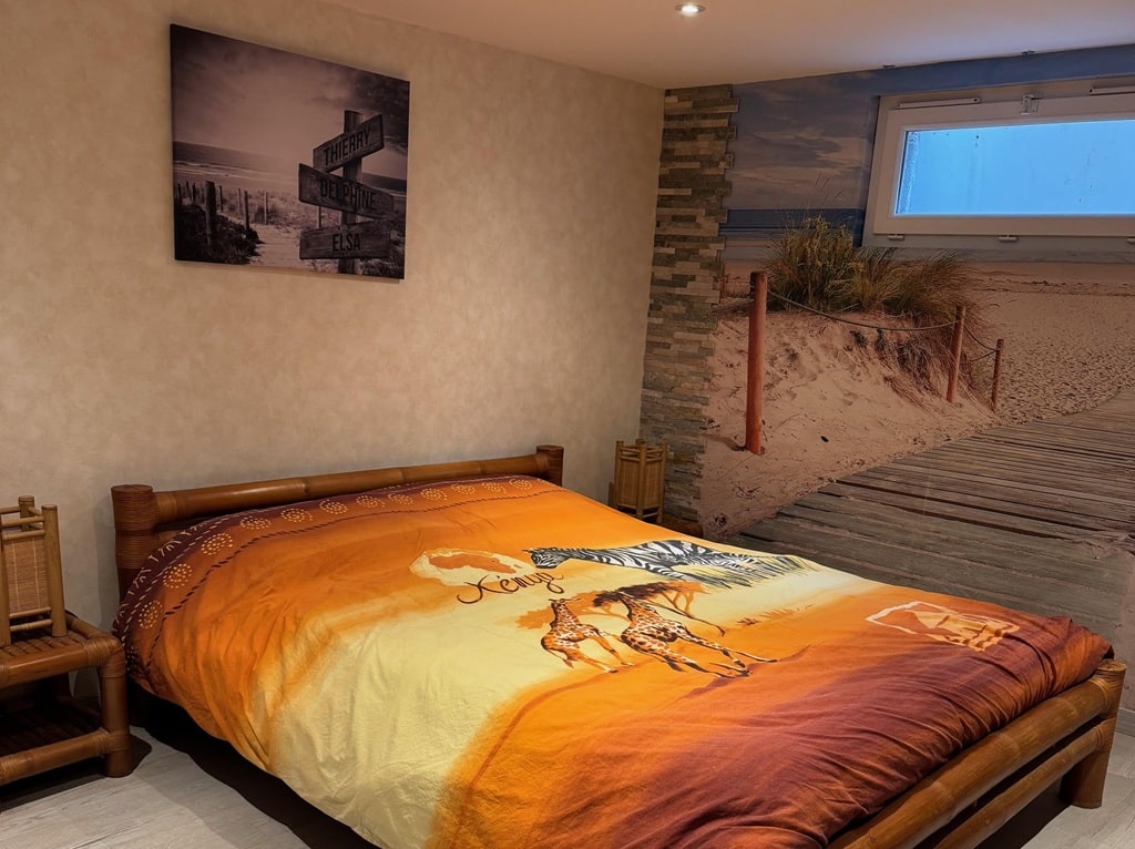
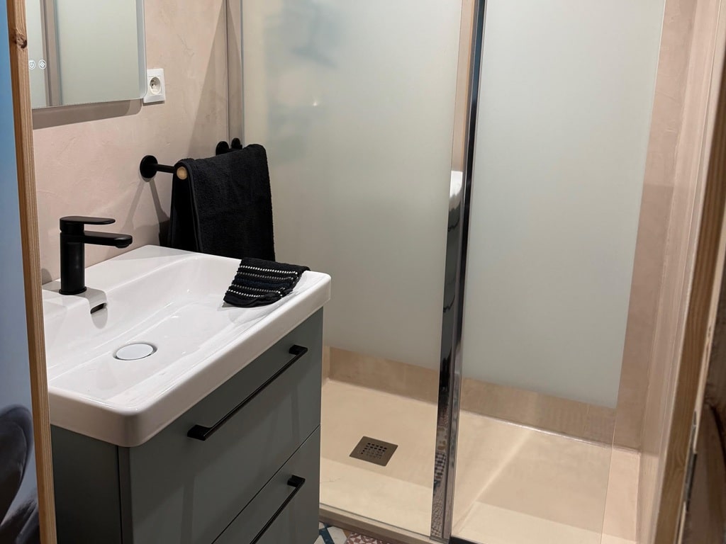
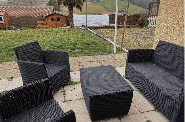
Sainte-Catherine: Independent room with private bathroom "Les Têtes Plattes", 06 50 65 80 46, Email. |
|
Nearby paths:
![]() It is advisable to follow the beacons all along your hike and to bring the FFRandonnée topo-guide. You will also find information on MonGR.fr.
It is advisable to follow the beacons all along your hike and to bring the FFRandonnée topo-guide. You will also find information on MonGR.fr.
GR®, PR®, GRP® and the corresponding markings are trademarks of the French Federation of Hiking. They may not be reproduced without permission. The French Federation of Hiking, state-approved, includes organizations that maintain hiking routes. It publishes guides for these routes. With your donations, support the actions of the thousands of volunteer markers of the FFRandonnée.
GR-Infos.com is an editorial partner of MonGR.fr.
| Return |

Former holiday hotel with a garden along the Allier, L'Etoile Guest House is located in La Bastide-Puylaurent between Lozere, Ardeche, and the Cevennes in the mountains of Southern France. At the crossroads of GR®7, GR®70 Stevenson Path, GR®72, GR®700 Regordane Way, GR®470 Allier River springs and gorges, GRP® Cevenol, Ardechoise Mountains, Margeride. Numerous loop trails for hiking and one-day biking excursions. Ideal for a relaxing and hiking getaway.
Copyright©gr-infos.com (Authorization for private use only)
To help us maintain and improve GR-Infos.com, a contribution of 2€ is desired via Wero or bank transfer. Thank you!