
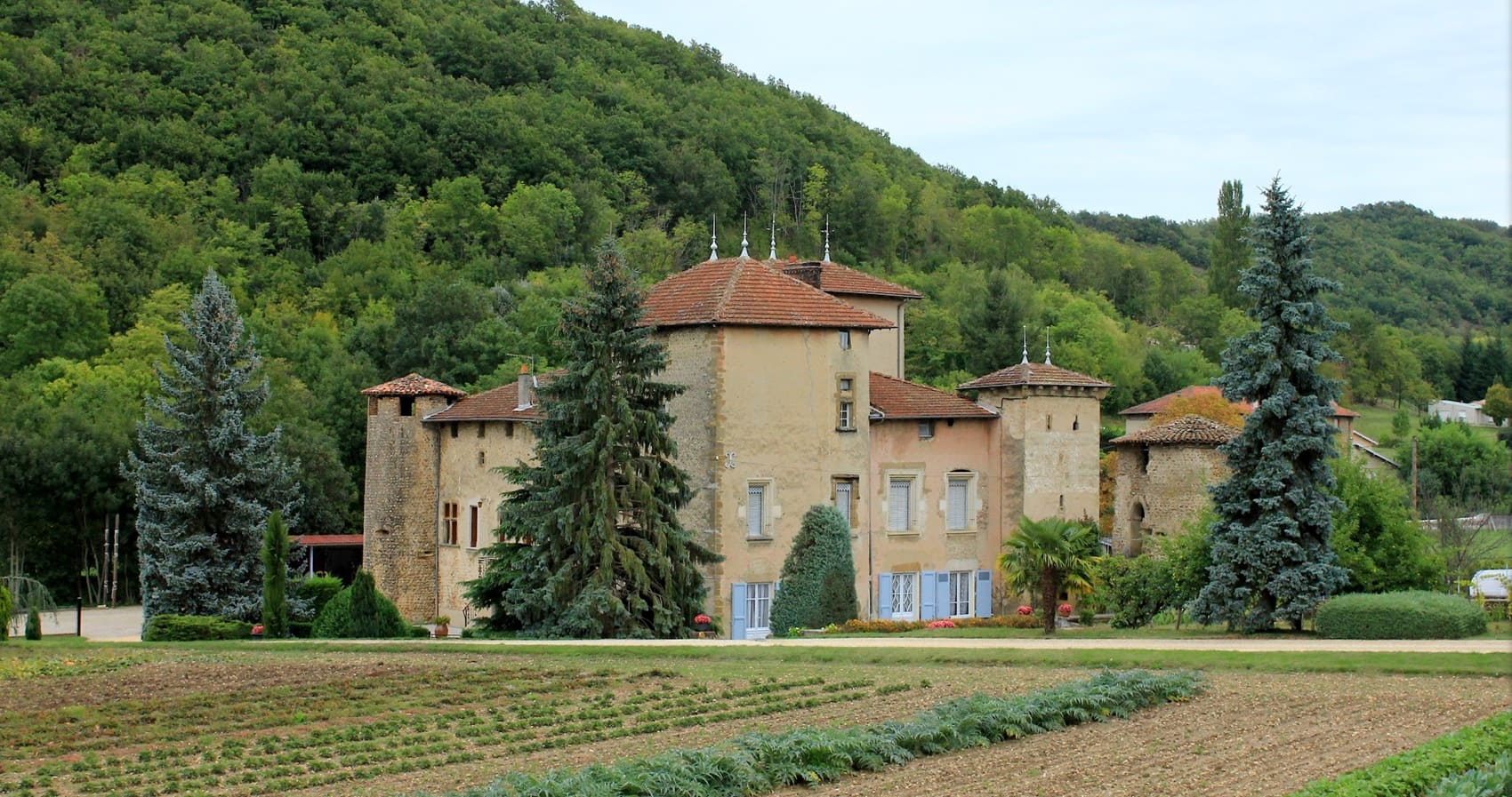
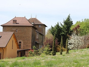
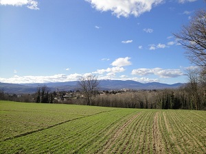
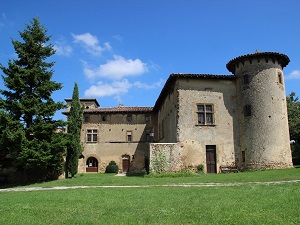
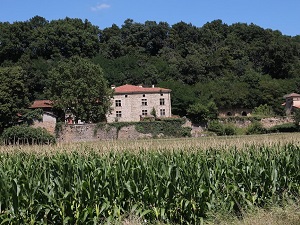
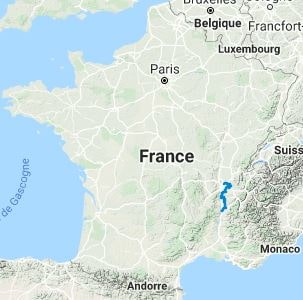
The GR®422 long-distance hiking trail traces the route of the "Grand Tour de France" undertaken by the young king between 1564 and 1566—a royal strategy designed to pacify a kingdom torn apart by the Wars of Religion. Starting from the former capital of Gaul, the route heads east towards the medieval town of Crémieu, an architectural gem featuring a 15th-century market hall and well-preserved ramparts. The trail then turns south, crossing the rolling hills of the Lower Dauphiné and the lands of Roussillon, where the famous edict establishing January 1st as the beginning of the year was signed in 1564. After crossing the Isère River at Romans—a city of art and history celebrated for its shoemaking heritage—hikers continue across the fertile Valence plain. Here, nature flourishes with abundant orchards and protected wetlands, offering breathtaking views of the Vercors and Vivarais mountain foothills.
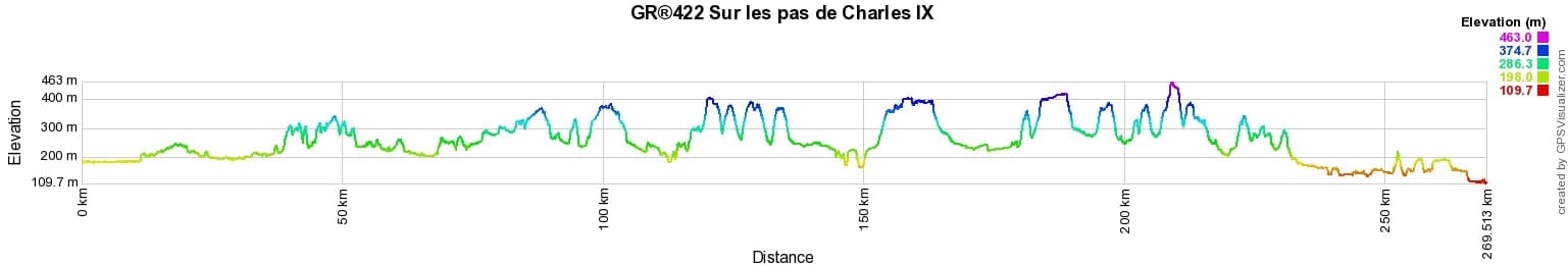
 Distance: 269.3km, Elevation maximum: 463m, Elevation minimum: 113m, Elevation gain uphill: 3520m
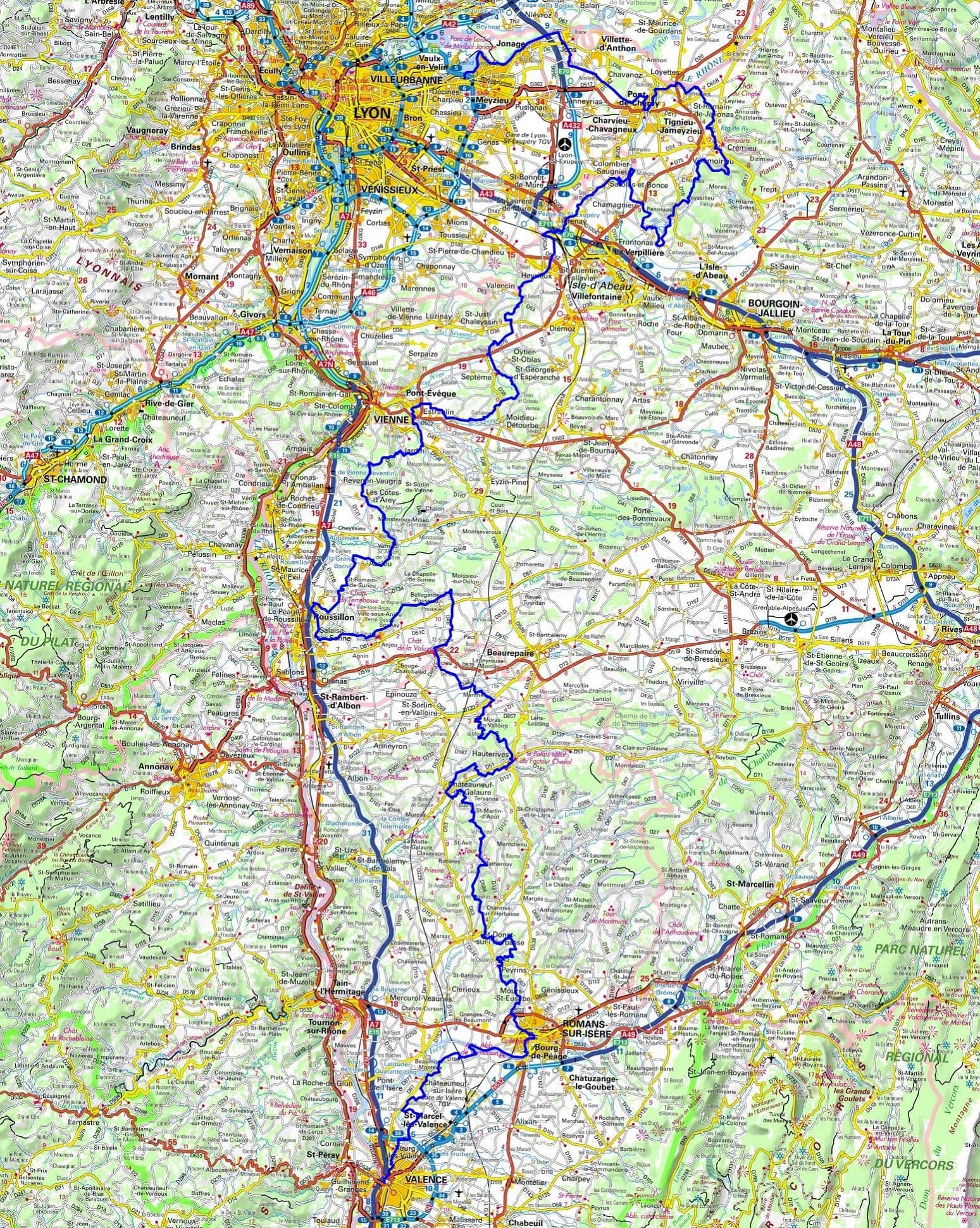
IGN Maps: Lyon Villeurbanne Mont d'Or - 3031OT. Venissieux - 3032E. Oullins Givors - 3033E. Roussillon - 3033O. Cremieu - 3131E. Mezieu Montluel - 3131O. Bourgoin-Jallieu - 3132E. La Verpilliere - 3132O. Oullins Givors - 3033E. Anneyron - 3034E. Serrieres - 3034O. Saint-Donat-Sur-L'Herbasse - 3035E. Romans-Sur-Isere - 3135O. Valence Corniche de l'Eyrieux - 3036OT.
Nearby paths:
![]() It is advisable to follow the beacons throughout your itinerary and to take the Fédération Française de la Randonnée Pédestre topo-guide with you. You will also find information on MonGR.fr.
It is advisable to follow the beacons throughout your itinerary and to take the Fédération Française de la Randonnée Pédestre topo-guide with you. You will also find information on MonGR.fr.
GR®, PR®, GRP®, and the corresponding signs of markings (white / red, yellow and yellow / red) are trademarks of the French Federation of Hiking. They may not be reproduced without permission. The French Federation of Hiking, state-approved, includes organizations that create and maintain hiking routes on GR®, PR®, and GRP®. It publishes guides for these topo hiking routes. With your donations, you support the actions of the thousands of FFRandonnée volunteer markers.
GR-Infos.com is an editorial partner of MonGR.fr.
| Return |

Former holiday hotel with a garden along the Allier, L'Etoile Guest House is located in La Bastide-Puylaurent between Lozere, Ardeche, and the Cevennes in the mountains of Southern France. At the crossroads of GR®7, GR®70 Stevenson Path, GR®72, GR®700 Regordane Way, GR®470 Allier River springs and gorges, GRP® Cevenol, Ardechoise Mountains, Margeride. Numerous loop trails for hiking and one-day biking excursions. Ideal for a relaxing and hiking getaway.
Copyright©gr-infos.com (Authorization for private use only)
To help us maintain and improve GR-Infos.com, a contribution of 2€ is desired via Wero or bank transfer. Thank you!