
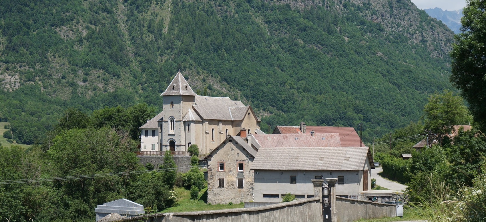
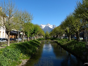
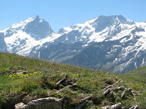
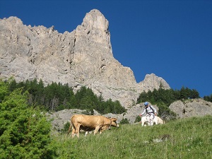
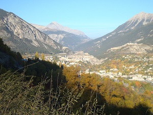
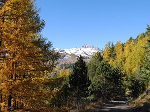
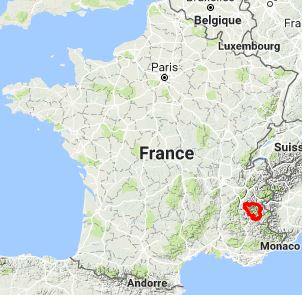
The GR®50, or Tour of the Écrins National Park, is a magnificent loop of approximately 370 kilometres that encircles one of the wildest mountain ranges in Europe. Crossing the Hautes-Alpes and Isère departments, this balcony trail offers breathtaking panoramas of glaciers and legendary peaks such as La Meije and the Barre des Écrins. The heritage is alive and well here: hikers pass through high-altitude hamlets, ancient pastoral routes and the impressive Roman bridge at Pont-en-Royans. The flora, rich in endemic Alpine species, and the fauna — chamois, ibex and golden eagles — make this circuit an unforgettable immersion in the high mountains.
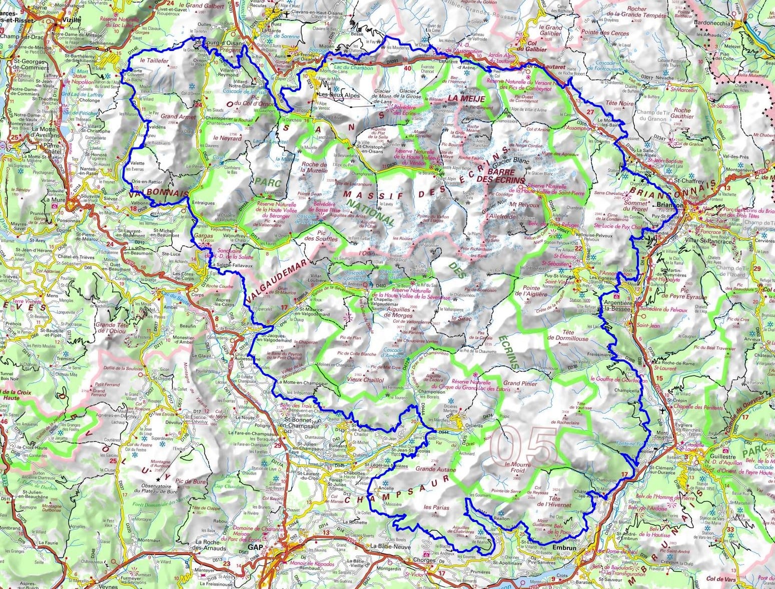
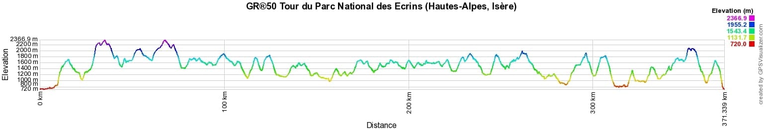
 Distance: 371km, Elevation maximum: 2367m, Elevation minimum: 720m, Elevation gain uphill: 19016m
Nearby paths:
![]() It is advisable to follow the beacons all along your hike and to bring the FFRandonnée topo-guide. You will also find information on MonGR.fr.
It is advisable to follow the beacons all along your hike and to bring the FFRandonnée topo-guide. You will also find information on MonGR.fr.
GR®, PR®, GRP®, and the corresponding signs of markings (white/red, yellow and yellow/red) are trademarks of the French Federation of Hiking. They may not be reproduced without permission. The French Federation of Hiking, state-approved, includes organizations that create and maintain hiking routes on GR®, PR® and GRP®. It publishes topo-guides for these hiking routes. With your donations, support the actions of the thousands of volunteer markers of the FFRandonnée.
GR-Infos.com is an editorial partner of MonGR.fr.
| Return |

Former holiday hotel with a garden along the Allier, L'Etoile Guest House is located in La Bastide-Puylaurent between Lozere, Ardeche, and the Cevennes in the mountains of Southern France. At the crossroads of GR®7, GR®70 Stevenson Path, GR®72, GR®700 Regordane Way, GR®470 Allier River springs and gorges, GRP® Cevenol, Ardechoise Mountains, Margeride. Numerous loop trails for hiking and one-day biking excursions. Ideal for a relaxing and hiking getaway.
Copyright©gr-infos.com (Authorization for private use only)
To help us maintain and improve GR-Infos.com, a contribution of 2€ is desired via Wero or bank transfer. Thank you!