
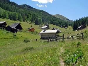
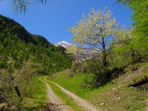
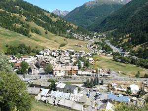
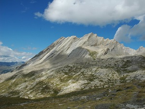
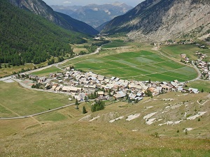
The GR®58, or Tour du Queyras, is one of France's most popular long-distance hiking trails, winding through a protected Regional Natural Park. The Queyras is distinguished by its authentic villages — such as Saint-Véran, one of the highest in Europe — and its traditional wood and stone architecture, bearing witness to centuries of mountain life. Local history is marked by the "Escartons", a unique system of local self-governance dating from the 14th century. The flora is among the richest in the Alps, with over 2,000 plant species recorded, including many endemics, while the fauna includes ibex, chamois and a remarkable butterfly diversity.


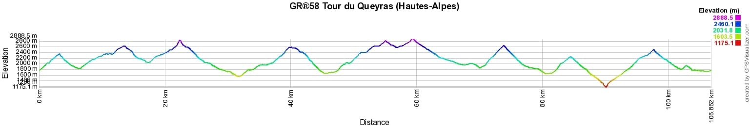
 Distance: 107km, Elevation maximum: 2888m, Elevation minimum: 1175m, Elevation gain uphill: 7674m
Nearby paths:
![]() It is advisable to follow the beacons all along your hike and to bring the FFRandonnée topo-guide. You will also find information on MonGR.fr.
It is advisable to follow the beacons all along your hike and to bring the FFRandonnée topo-guide. You will also find information on MonGR.fr.
GR®, PR®, GRP®, and the corresponding signs of markings (white/red, yellow and yellow/red) are trademarks of the French Federation of Hiking. They may not be reproduced without permission. The French Federation of Hiking, state-approved, includes organizations that create and maintain hiking routes on GR®, PR® and GRP®. It publishes topo-guides for these hiking routes. With your donations, support the actions of the thousands of volunteer markers of the FFRandonnée.
GR-Infos.com is an editorial partner of MonGR.fr.
| Return |

Former holiday hotel with a garden along the Allier, L'Etoile Guest House is located in La Bastide-Puylaurent between Lozere, Ardeche, and the Cevennes in the mountains of Southern France. At the crossroads of GR®7, GR®70 Stevenson Path, GR®72, GR®700 Regordane Way, GR®470 Allier River springs and gorges, GRP® Cevenol, Ardechoise Mountains, Margeride. Numerous loop trails for hiking and one-day biking excursions. Ideal for a relaxing and hiking getaway.
Copyright©gr-infos.com (Authorization for private use only)
To help us maintain and improve GR-Infos.com, a contribution of 2€ is desired via Wero or bank transfer. Thank you!