
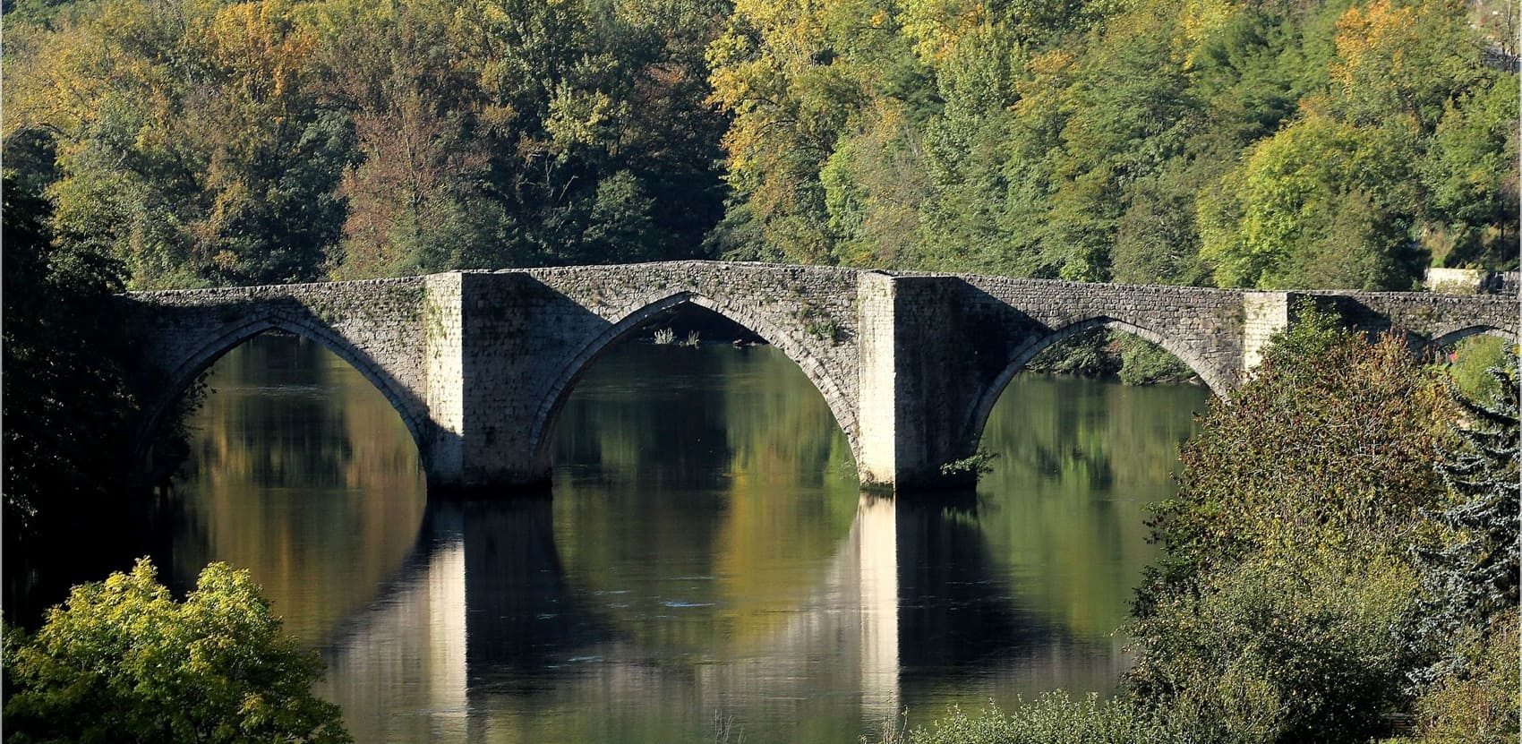
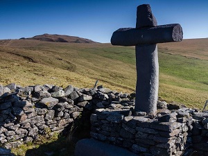
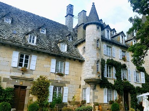
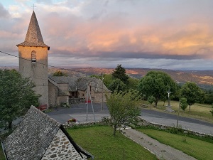
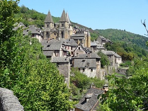
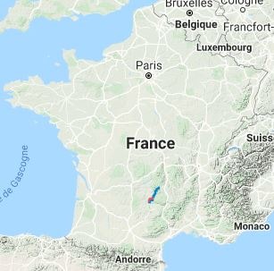
The GR®465, an ancient pilgrimage route used by Cluniac monks, climbs toward the high plateaus of the Plomb du Cantal, which are home to summer pastures and herds of Salers cattle. Descending southwards, hikers cross the high plateaus of the Aubrac and navigate the Truyère gorges, where a striking contrast unfolds between vast pastures and the rugged depths of the rivers below. The numerous basalt castles, Romanesque churches, and isolated burons (traditional mountain huts) tell a compelling story of mountain resilience. The culmination of this journey is the arrival in Conques, a jewel of Romanesque art, where the Abbey Church of Sainte-Foy welcomes walkers just as it has since the 11th century. Historically, this trail was not only a path of devotion but also a vital artery of a monastic empire along which monks, ideas, art, and commerce have circulated since the 10th century.
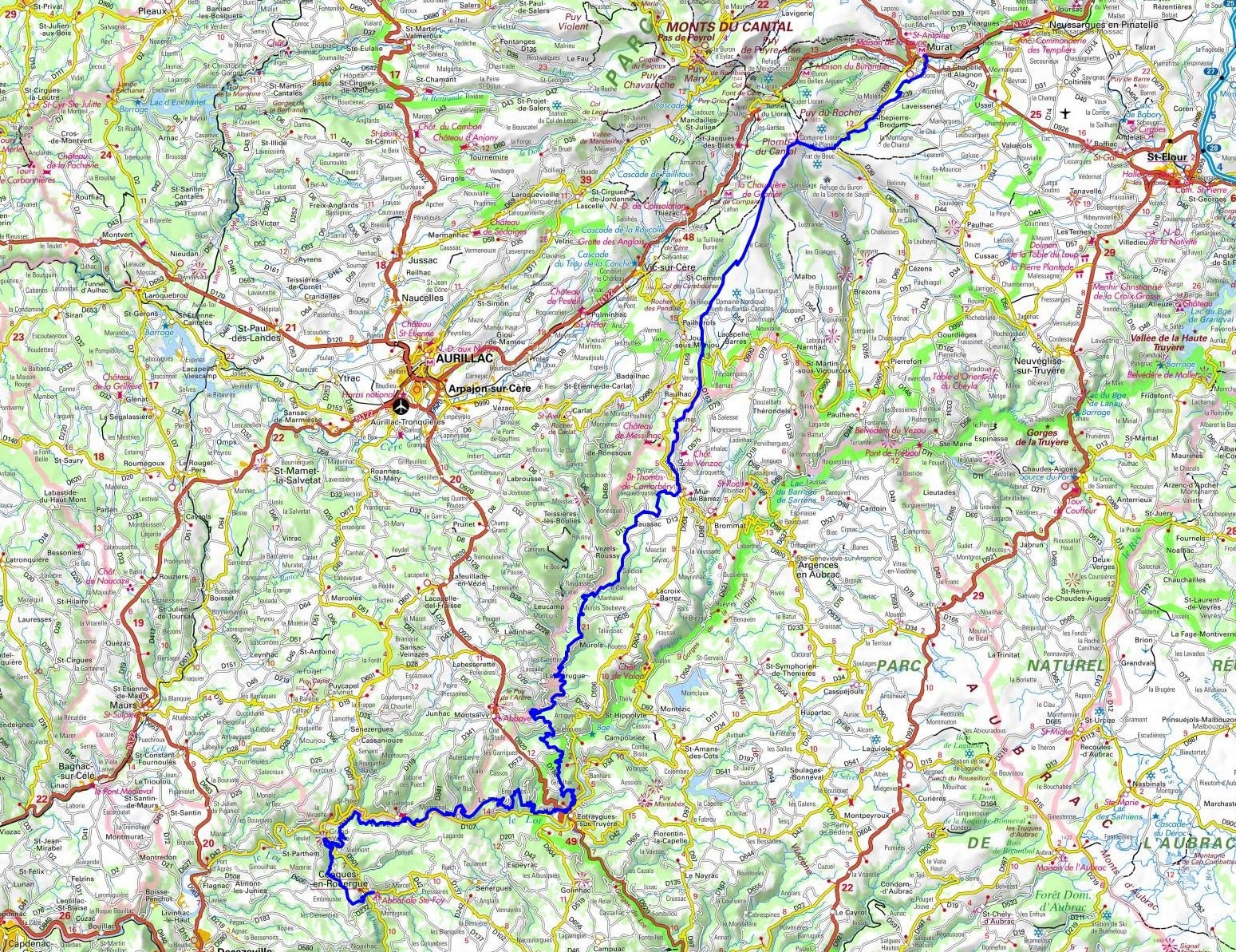
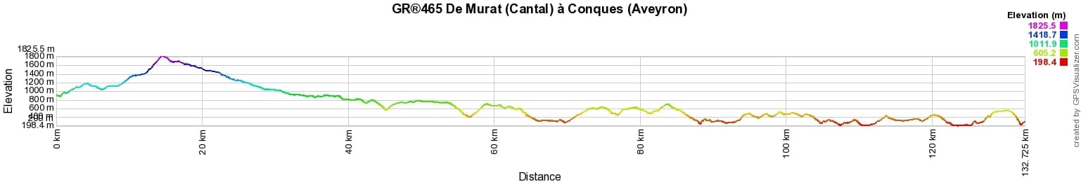

 Distance: 133km, Elevation maximum: 1820m, Elevation minimum: 210m, Elevation gain uphill: 4891m
IGN Maps: Montsalvy - 2337E. Marcillac Vallon Conques - 2338E. Monts-Du-Cantal Pnr des Volcans d'Auvergne - 2435OT. Pierrefort Barrage de Sarrans - 2436E. Vic-Sur-Cere - 2436O. Entraygues-Sur-Truyere - 2437O. Murat - Neussargues - Moissac - 2535O.
Nearby paths:
![]() It is advisable to follow the beacons throughout your itinerary and to take the Fédération Française de la Randonnée Pédestre topo-guide with you. You will also find information on MonGR.fr.
It is advisable to follow the beacons throughout your itinerary and to take the Fédération Française de la Randonnée Pédestre topo-guide with you. You will also find information on MonGR.fr.
GR®, PR®, GRP®, and the corresponding signs of markings (white / red, yellow and yellow / red) are trademarks of the French Federation of Hiking. They may not be reproduced without permission. The French Federation of Hiking, state-approved, includes organizations that create and maintain hiking routes on GR®, PR®, and GRP®. It publishes guides for these topo hiking routes. With your donations, you support the actions of the thousands of FFRandonnée volunteer markers.
GR-Infos.com is an editorial partner of MonGR.fr.
| Return |

Former holiday hotel with a garden along the Allier, L'Etoile Guest House is located in La Bastide-Puylaurent between Lozere, Ardeche, and the Cevennes in the mountains of Southern France. At the crossroads of GR®7, GR®70 Stevenson Path, GR®72, GR®700 Regordane Way, GR®470 Allier River springs and gorges, GRP® Cevenol, Ardechoise Mountains, Margeride. Numerous loop trails for hiking and one-day biking excursions. Ideal for a relaxing and hiking getaway.
Copyright©gr-infos.com (Authorization for private use only)
To help us maintain and improve GR-Infos.com, a contribution of 2€ is desired via Wero or bank transfer. Thank you!