
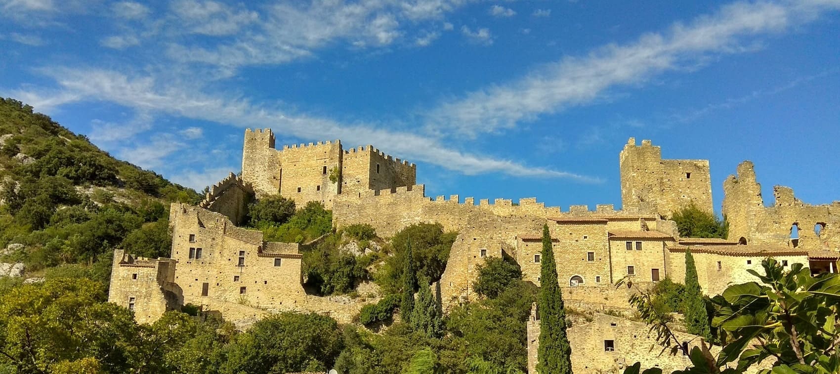
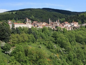
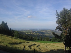
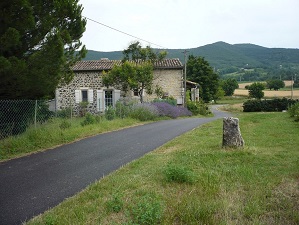
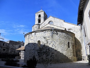
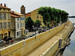
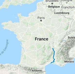
The GR®42, known as the Rhône Balconies, offers a striking 452 km hike from Saint-Etienne in the Loire department to Le Grau-du-Roi in the Gard. Following the right bank of the Rhône River, the trail winds through the scenic landscapes of the Pilat Regional Nature Park, the Ardèche terraces, and the scrublands of the Gard, before concluding at the Mediterranean Sea. Along the way, hikers will discover picturesque vineyards, historic perched villages, and the preserved wilderness of the Camargue. The diverse flora and fauna reflect the transition from a continental to a Mediterranean climate, featuring chestnut forests, olive groves, and flamingos in the coastal marshes. It is an exceptional journey through the rich cultural and natural heritage of the Rhône Valley.
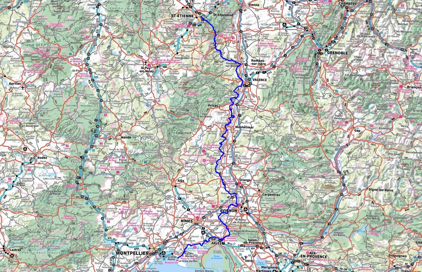
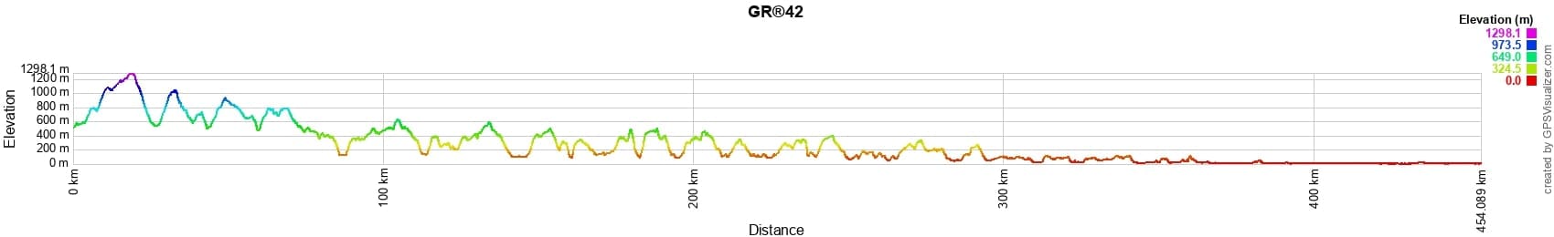
 Distance: 452km, Elevation maximum: 1430m, Elevation minimum: 0m, Elevation gain uphill: 11116m
Nearby paths:
![]() It is advisable to follow the beacons all along your hike and to bring the FFRandonnee topo-guide. You will also find information on MonGR.fr.
It is advisable to follow the beacons all along your hike and to bring the FFRandonnee topo-guide. You will also find information on MonGR.fr.
GR®, PR®, GRP®, and the corresponding signs of markings (white/red, yellow and yellow/red) are trademarks of the French Federation of Hiking. They may not be reproduced without permission. The French Federation of Hiking, state-approved, includes organizations that create and maintain hiking routes on GR®, PR® and GRP®. It publishes guides for these topo hiking routes. With your donations, support the actions of the thousands of volunteer markers of the FFRandonnee.
GR-Infos.com is an editorial partner of MonGR.fr.
| Return |

Former holiday hotel with a garden along the Allier, L'Etoile Guest House is located in La Bastide-Puylaurent between Lozere, Ardeche, and the Cevennes in the mountains of Southern France. At the crossroads of GR®7, GR®70 Stevenson Path, GR®72, GR®700 Regordane Way, GR®470 Allier River springs and gorges, GRP® Cevenol, Ardechoise Mountains, Margeride. Numerous loop trails for hiking and one-day biking excursions. Ideal for a relaxing and hiking getaway.
Copyright©gr-infos.com (Authorization for private use only)
To help us maintain and improve GR-Infos.com, a contribution of 2€ is desired via Wero or bank transfer. Thank you!