
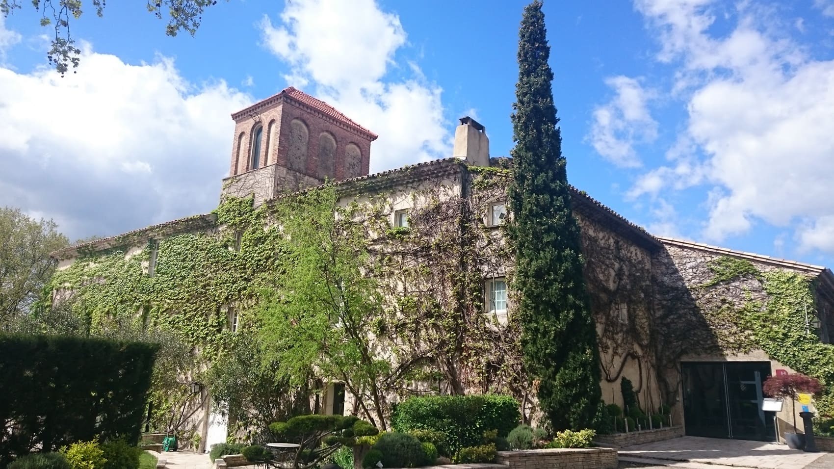
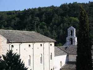
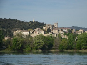
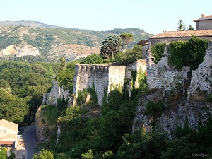
The GR®429 serves as a true gateway between the Drôme Provençale and the southern Ardèche, traversing a land of resistance and spirituality, marked by the Huguenot refuge in Dieulefit and the centuries-old influence of the Bishopric of Viviers. Architectural heritage forms the common thread of this hike: it begins in the pottery town of Dieulefit before passing through hilltop villages like Le Poët-Laval, a significant site in Protestant history listed among the most beautiful villages in France. As you descend towards the Rhône, the landscape transforms, transitioning from the pre-Alpine foothills of the Drôme to the limestone plateaus of the Ardèche. Here, nature is abundant and quintessentially Mediterranean, with the trail winding between lavender fields, olive groves, and holm oak forests. The journey concludes magnificently in Viviers, where its Romanesque cathedral proudly overlooks the river.
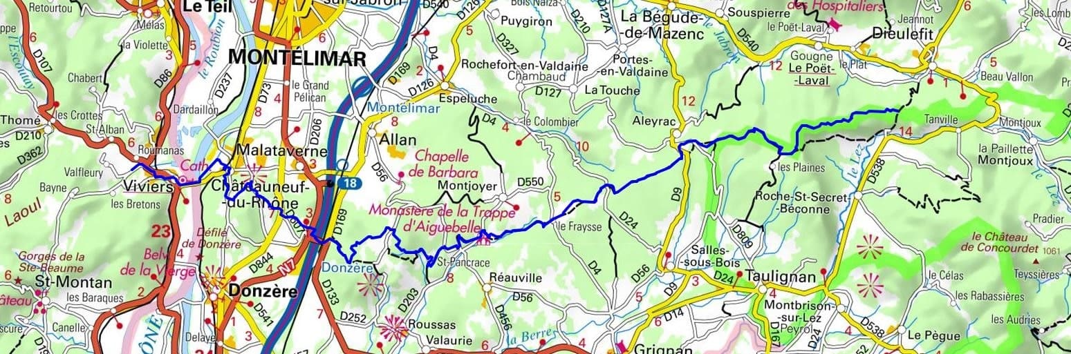
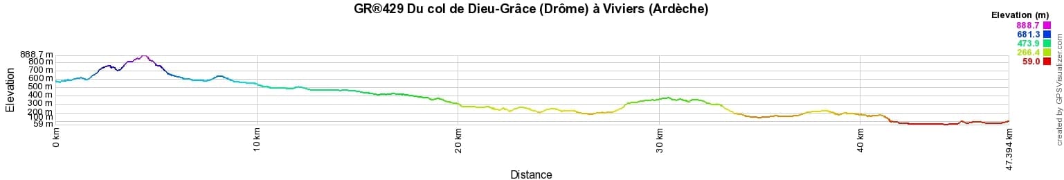

 Distance: 45km, Elevation maximum: 885m, Elevation minimum: 78m, Elevation gain uphill: 1124m
IGN Maps: La Begude-de-Mazenc (3038E). Montelimar (3038O). Valreas Enclave des Papes Pierrelatte (3039ET). Dieu-Grace pass St-Nazaire-le-Desert foret de Saou (3138OT).
Nearby paths:
![]() It is advisable to follow the beacons throughout your itinerary and to take the Fédération Française de la Randonnée Pédestre topo-guide with you. You will also find information on MonGR.fr.
It is advisable to follow the beacons throughout your itinerary and to take the Fédération Française de la Randonnée Pédestre topo-guide with you. You will also find information on MonGR.fr.
GR®, PR®, GRP®, and the corresponding signs of markings (white / red, yellow and yellow / red) are trademarks of the French Federation of Hiking. They may not be reproduced without permission. The French Federation of Hiking, state-approved, includes organizations that create and maintain hiking routes on GR®, PR®, and GRP®. It publishes guides for these topo hiking routes. With your donations, you support the actions of the thousands of FFRandonnée volunteer markers.
GR-Infos.com is an editorial partner of MonGR.fr.
| Return |

Former holiday hotel with a garden along the Allier, L'Etoile Guest House is located in La Bastide-Puylaurent between Lozere, Ardeche, and the Cevennes in the mountains of Southern France. At the crossroads of GR®7, GR®70 Stevenson Path, GR®72, GR®700 Regordane Way, GR®470 Allier River springs and gorges, GRP® Cevenol, Ardechoise Mountains, Margeride. Numerous loop trails for hiking and one-day biking excursions. Ideal for a relaxing and hiking getaway.
Copyright©gr-infos.com (Authorization for private use only)
To help us maintain and improve GR-Infos.com, a contribution of 2€ is desired via Wero or bank transfer. Thank you!