
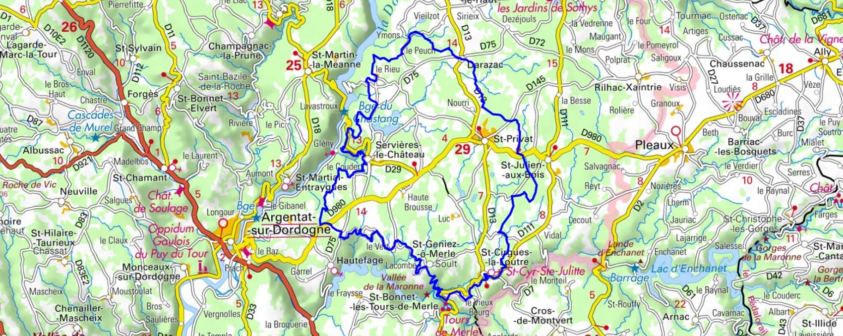
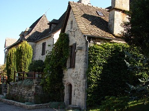
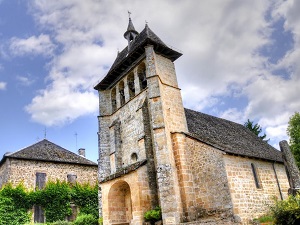
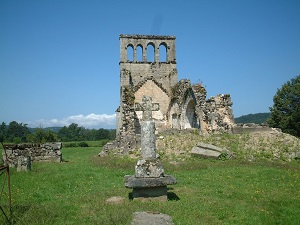
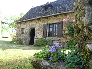
Starting from Servières-le-Château, the trail passes through charming hamlets like Darazac and Léonac, where traditional stone architecture and slate roofs bear witness to a preserved rural way of life. Heading towards Saint-Cirgues-la-Loutre, the hiker enters oak and chestnut forests. The highlight of the route is undoubtedly the Tours de Merle, a spectacular medieval fortress rising from a bend in the Maronne River, a true sentinel of a turbulent feudal past. After leaving Saint-Geniez-ô-Merle, the path winds through landscapes of hedged fields and heathland, offering sweeping views from the Croix de Maurel of the nearby Cantal mountains. The Xaintrie Blanche region reveals itself here in all its diversity, alternating between the gentle valleys of Meilhac and the steep, wooded slopes of Sirieix.
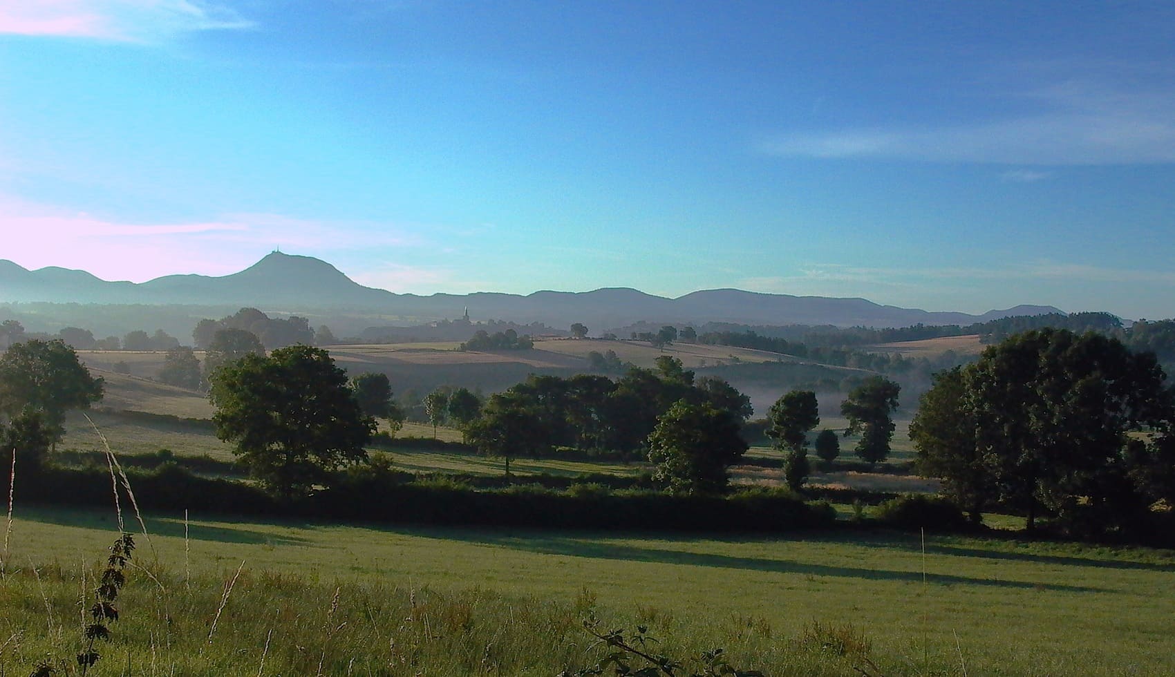
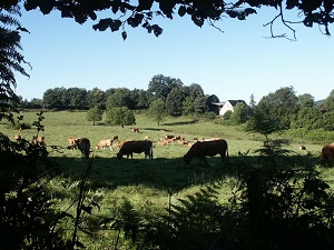
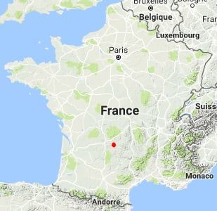
The Xaintrie Blanche is the eastern part of the Xaintrie region, a territory in southern Corrèze that stretches along the border with Cantal. Its name, "Blanche" (White), comes from the predominance of granite subsoil, which gives it a high plateau landscape, broken by the deep valleys of the Dordogne and Maronne rivers. The landscape is characterized by dense hedgerows and vast deciduous forests, interspersed with pastures used for grazing. The history of this region is that of a land of lords and isolated peasants, marked by a rich rural heritage and small stone villages. The flora is that of the Limousin forests, rich in oak and beech trees, while the fauna is typical of mid-mountain plateaus, with numerous deer and wild boar, offering an authentic and wild face of the Corrèze.
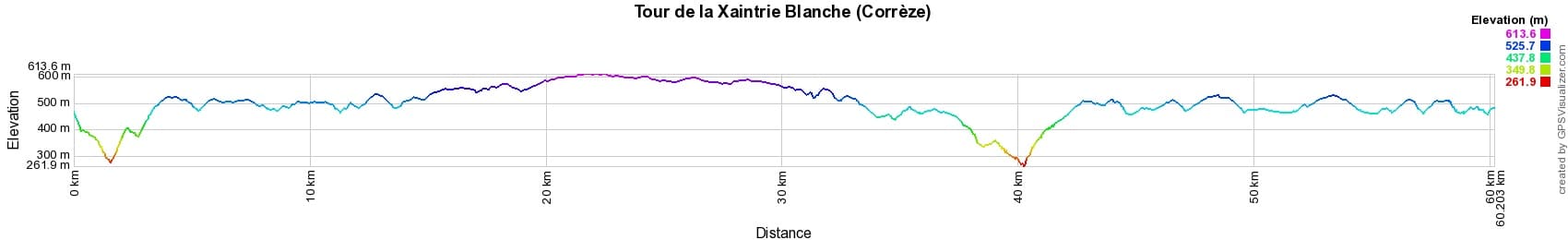
 Distance: 60km, Maximum elevation: 618m, Minimum elevation: 280m, Total ascent: 1431m
IGN Maps: Saint-Privat Barrage de Chastang - 2235E.
Nearby paths:
![]() It is advisable to follow the beacons all along your hike and to bring the FFRandonnée topo-guide. You will also find information on MonGR.fr.
It is advisable to follow the beacons all along your hike and to bring the FFRandonnée topo-guide. You will also find information on MonGR.fr.
GR®, PR®, GRP® and the corresponding markings are trademarks of the French Federation of Hiking. They may not be reproduced without permission. The French Federation of Hiking, state-approved, includes organizations that maintain hiking routes. It publishes guides for these routes. With your donations, support the actions of the thousands of volunteer markers of the FFRandonnée.
GR-Infos.com is an editorial partner of MonGR.fr.
| Return |

Former holiday hotel with a garden along the Allier, L'Etoile Guest House is located in La Bastide-Puylaurent between Lozere, Ardeche, and the Cevennes in the mountains of Southern France. At the crossroads of GR®7, GR®70 Stevenson Path, GR®72, GR®700 Regordane Way, GR®470 Allier River springs and gorges, GRP® Cevenol, Ardechoise Mountains, Margeride. Numerous loop trails for hiking and one-day biking excursions. Ideal for a relaxing and hiking getaway.
Copyright©gr-infos.com (Authorization for private use only)
To help us maintain and improve GR-Infos.com, a contribution of 2€ is desired via Wero or bank transfer. Thank you!