
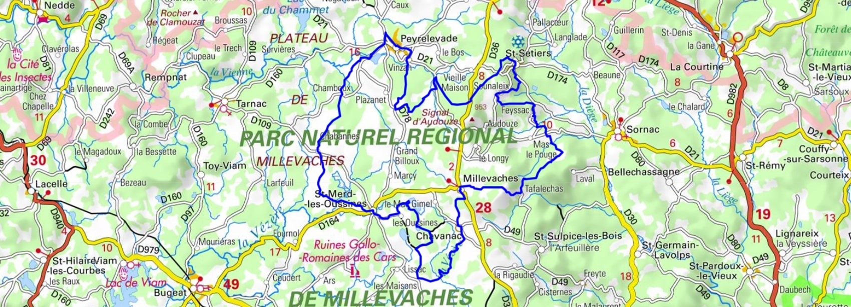
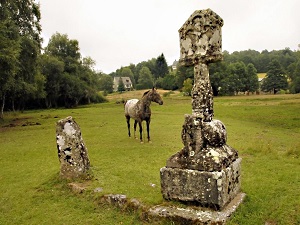
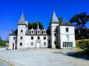
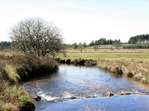
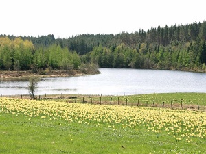
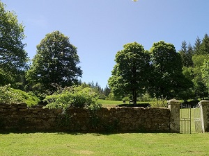
Starting from Peyrelevade, the trail first crosses Saint-Setiers, where coniferous and beech forests conceal a preserved wildlife population, from deer to the elusive otter. Climbing towards the village of Millevaches, hikers discover a landscape of russet moors and ancient peat bogs, testaments to a raw and untamed nature. The heritage unfolds at Saint-Merd-les-Oussines, with its gray granite churches and the Gallo-Roman remains of Les Cars, reminders of a very ancient human presence. The rolling, soothing terrain then leads to the hamlets of Chabennes and Chamboux, where dry stone walls delineate seemingly endless summer pastures. The history here is one of a resilient peasantry, marked by the robust architecture of mountain farms designed to withstand harsh winters. The changing light on the heather moors gives this territory in Corrèze the feel of a little Scotland.
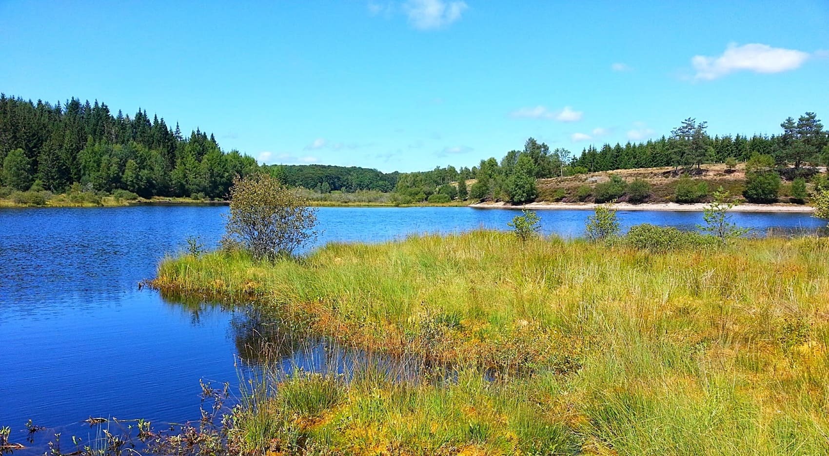
Nicknamed "the granite island," the Millevaches Plateau is a wild, high plateau in the Corrèze region where water is readily apparent. Its name, far from evoking livestock, comes from the Celtic word *vacca*, meaning spring, a reminder that many rivers, such as the Vienne and the Vézère, originate here. This territory of moors, peat bogs, and dense forests offers unspoiled nature, where otters and short-toed eagles find refuge. The dry-stone heritage, with its massive barns and Romanesque churches built of gray granite, bears witness to a rugged yet close-knit rural life. The history of the plateau is also intertwined with that of the Resistance and the "masonry workers of the Creuse," the migrant builders who shaped the towns and cities of France. In Meymac, a town of character, or around Mont Bessou, the highest point in the Limousin region, the atmosphere is imbued with a powerful, melancholic serenity. Archaeological sites, like the Gallo-Roman cars of Les Cars, tell the story of a very ancient human occupation in the heart of these solitudes.
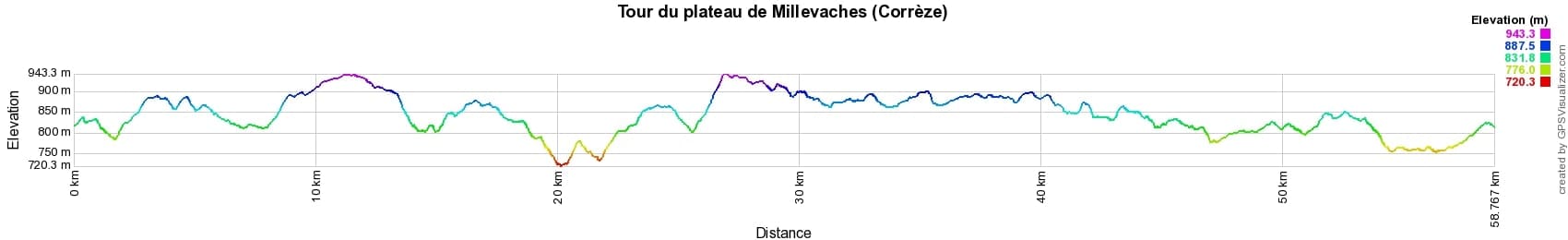
 Distance: 58km, Elevation maximum: 949m, Elevation minimum: 725m, Elevation gain uphill: 1061m
IGN Maps: Peyrelevade - 2232E. Ussel - 2332O.
Nearby paths:
![]() It is advisable to follow the beacons all along your hike and to bring the FFRandonnée topo-guide. You will also find information on MonGR.fr.
It is advisable to follow the beacons all along your hike and to bring the FFRandonnée topo-guide. You will also find information on MonGR.fr.
GR®, PR®, GRP® and the corresponding markings are trademarks of the French Federation of Hiking. They may not be reproduced without permission. The French Federation of Hiking, state-approved, includes organizations that maintain hiking routes. It publishes guides for these routes. With your donations, support the actions of the thousands of volunteer markers of the FFRandonnée.
GR-Infos.com is an editorial partner of MonGR.fr.
| Return |

Former holiday hotel with a garden along the Allier, L'Etoile Guest House is located in La Bastide-Puylaurent between Lozere, Ardeche, and the Cevennes in the mountains of Southern France. At the crossroads of GR®7, GR®70 Stevenson Path, GR®72, GR®700 Regordane Way, GR®470 Allier River springs and gorges, GRP® Cevenol, Ardechoise Mountains, Margeride. Numerous loop trails for hiking and one-day biking excursions. Ideal for a relaxing and hiking getaway.
Copyright©gr-infos.com (Authorization for private use only)
To help us maintain and improve GR-Infos.com, a contribution of 2€ is desired via Wero or bank transfer. Thank you!