
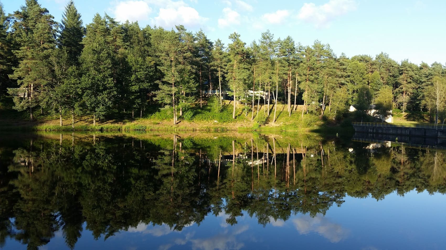
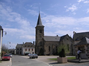
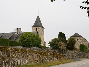
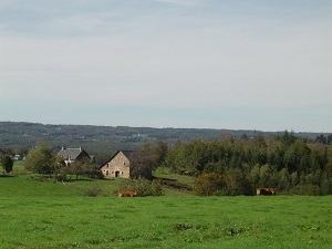
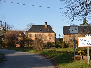
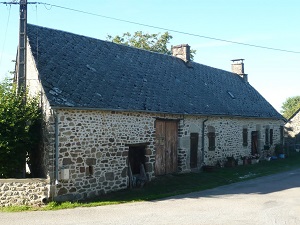
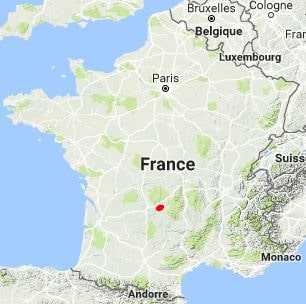
Starting in Lapleau, this hike in the Corrèze region immerses walkers in the wild and intimate setting of the Dordogne and Luzège gorges. The trail begins with the discovery of the site of La Vieille Église (The Old Church), offering a spectacular viewpoint overlooking the old Rochers Noirs viaduct, before passing through the authentic villages of Saint-Pantaléon and Latronche. Descending towards Soursac, you'll encounter the power of the river and the hydroelectric heritage at the Valette dam, where the water mirrors the surrounding oak and beech forests. The route continues towards Marcillac-la-Croisille, a popular natural rest stop known for its lake, before venturing into the countryside around Lafage-sur-Sombre and Saint-Hilaire-Foissac. In this mid-mountain landscape, medieval history is evident at every turn, a reminder of the past influence of the Viscounts of Ventadour on these granite lands.
The Dordogne and Ventadour region, located in the heart of Corrèze (Nouvelle-Aquitaine), is an emblematic territory of rural France, blending medieval heritage and preserved nature. The landscape is strongly shaped by the Dordogne Valley, classified as a UNESCO Biosphere Reserve, offering spectacular panoramas, gorges, and meanders. The main attraction of the region is undoubtedly the Chateau de Ventadour, perched on its rocky spur in Moustier-Ventadour, famous for being the birthplace of troubadours in the Middle Ages. Tourism is thriving around kayaking and canoeing on the river, as well as hiking along its banks. Towns like Ussel and Égletons serve as gateways to the Millevaches Plateaus and the gorges of the Triouzoune. The region also boasts a rich gastronomy and a vibrant local craftsmanship.
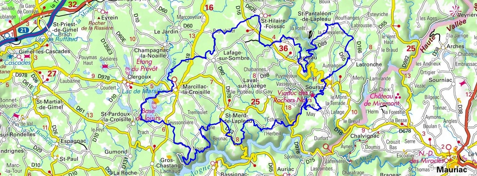
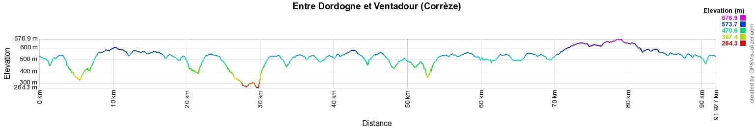
 Distance: 92km, Elevation maximum: 680m, Elevation minimum: 267m, Elevation gain uphill: 2368m
IGN Maps: Marcillac-La-Croisille - 2234E. Mauriac - 2334O.
Nearby paths:
![]() It is advisable to follow the trail markers all along your hike and to bring the FFRandonnée topo-guide. You will also find information on MonGR.fr.
It is advisable to follow the trail markers all along your hike and to bring the FFRandonnée topo-guide. You will also find information on MonGR.fr.
GR®, PR®, GRP® and the corresponding markings are trademarks of the French Federation of Hiking. They may not be reproduced without permission. The French Federation of Hiking, state-approved, includes organizations that maintain hiking routes. It publishes guides for these routes. With your donations, support the actions of the thousands of volunteer markers of the FFRandonnée.
GR-Infos.com is an editorial partner of MonGR.fr.
| Return |

Former holiday hotel with a garden along the Allier, L'Etoile Guest House is located in La Bastide-Puylaurent between Lozere, Ardeche, and the Cevennes in the mountains of Southern France. At the crossroads of GR®7, GR®70 Stevenson Path, GR®72, GR®700 Regordane Way, GR®470 Allier River springs and gorges, GRP® Cevenol, Ardechoise Mountains, Margeride. Numerous loop trails for hiking and one-day biking excursions. Ideal for a relaxing and hiking getaway.
Copyright©gr-infos.com (Authorization for private use only)
To help us maintain and improve GR-Infos.com, a contribution of 2€ is desired via Wero or bank transfer. Thank you!