
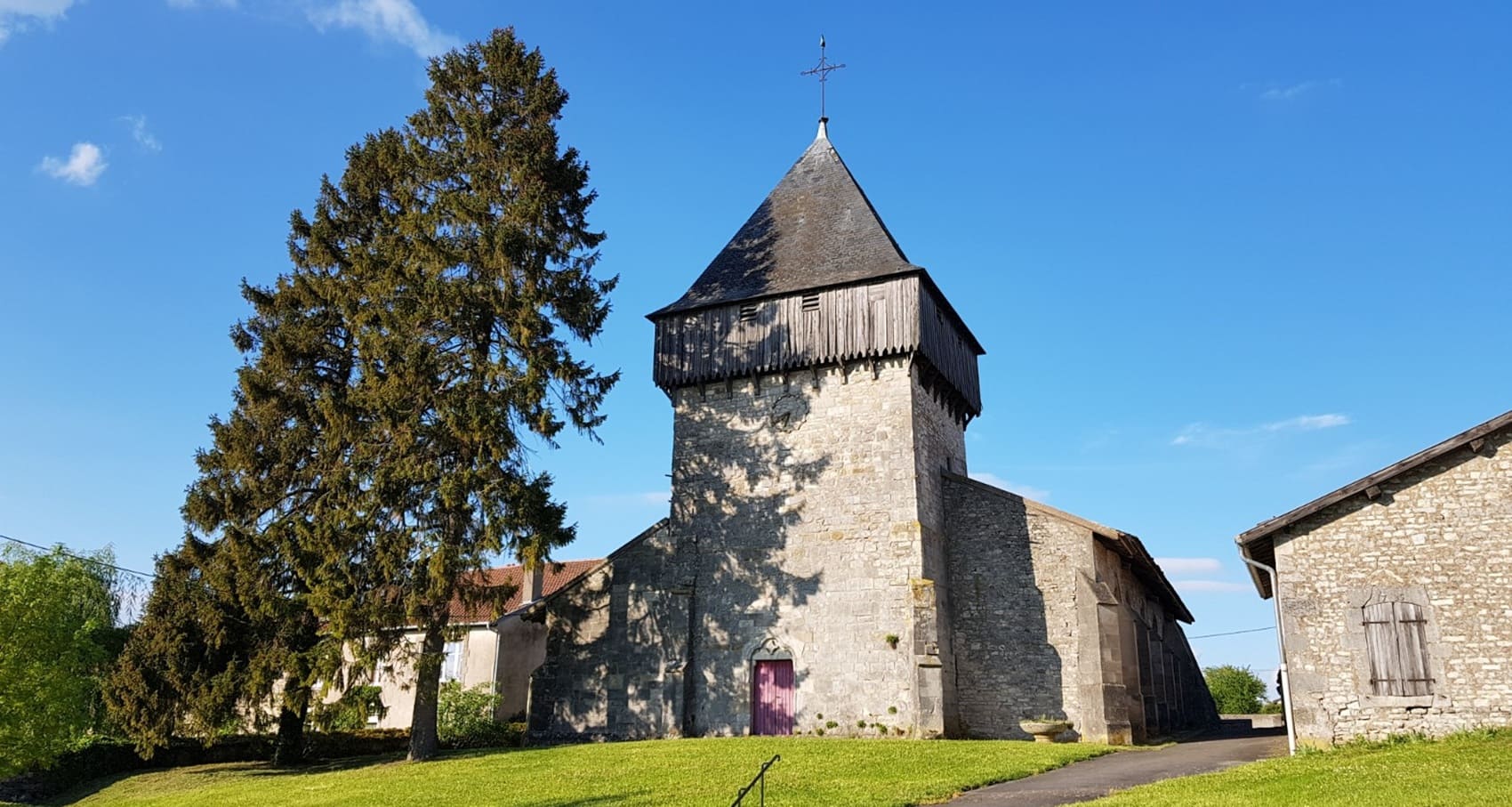
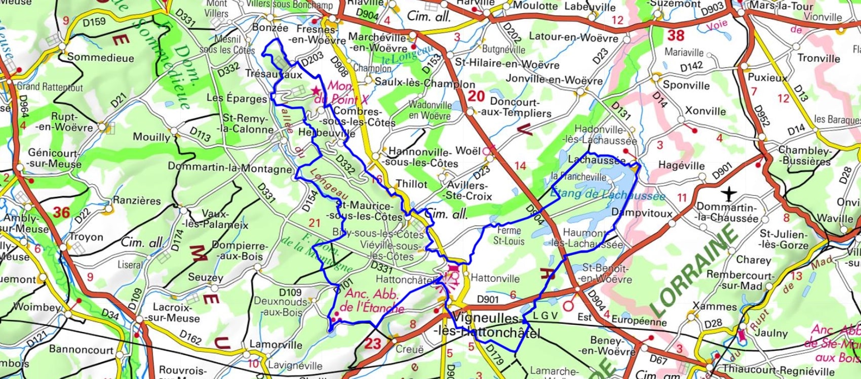
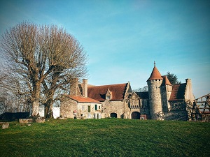
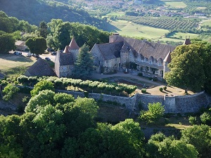
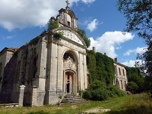
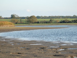
Starting from Vigneulles-lès-Hattonchâtel, the trail first climbs towards the medieval promontory of Hattonchâtel, an architectural gem offering exceptional panoramic views over the mirabelle plum orchards. The path then reaches the Éparges ridge, a major historical site marked by the mining war, where nature has reclaimed the craters. Descending via Hannonville and Saint-Maurice-sous-les-Côtes, the route passes through typical wine-growing villages nestled at the foot of the Meuse hills. The landscape finally opens onto the vast wetlands of the Woëvre, a haven for migratory birds and reedbeds. A stop at the Lachaussée pond, a Ramsar site recognized for its exceptional biodiversity, offers the opportunity to observe preserved aquatic wildlife in absolute tranquility.
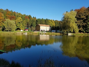
The Woëvre plain is a clay plain with little relief, dotted with ponds, meadows, and forests. The climate is temperate, with hot, dry summers and cold, wet winters. The Woëvre plain is a region rich in biodiversity, where a wide variety of plant and animal species are found, including birds, amphibians, and reptiles. The most common birds are the gray heron, the common crane, the mallard, and the mute swan. The most common amphibians are the common frog, the spotted salamander, and the common toad, while the most common reptiles include the grass snake, the wall lizard, and the asp viper. The Woëvre forest, covering approximately 10,000 hectares, serves as an important refuge for flora and fauna, including oaks, beeches, ashes, and birches.
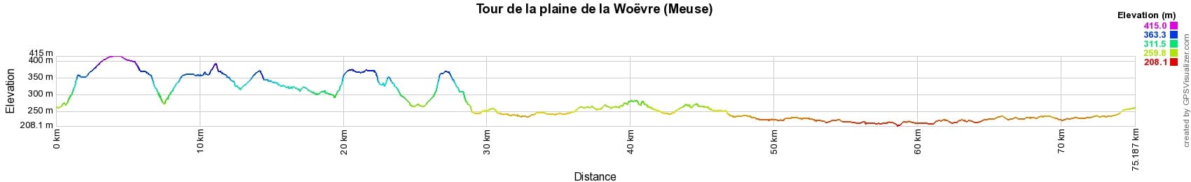
 Distance: 75km, Maximum elevation: 415m, Minimum elevation: 208m, Total ascent: 795m
IGN Maps: 3213SB - VIGNEULLES-LES-HATTONCHATEL / DIEUE-SUR-MEUSE. 3214SB - SAINT-MIHIEL / APREMONT-LA-FORET. 3313SB - ARS-SUR-MOSELLE / CHAMBLEY-BUSSIERES.

Nearby paths:
![]() It is advisable to follow the beacons all along your hike and to bring the FFRandonnée topo-guide. You will also find information on MonGR.fr.
It is advisable to follow the beacons all along your hike and to bring the FFRandonnée topo-guide. You will also find information on MonGR.fr.
GR®, PR®, GRP® and the corresponding markings are trademarks of the French Federation of Hiking. They may not be reproduced without permission. The French Federation of Hiking, state-approved, includes organizations that maintain hiking routes. It publishes guides for these routes. With your donations, support the actions of the thousands of volunteer markers of the FFRandonnée.
GR-Infos.com is an editorial partner of MonGR.fr.
| Return |

Former holiday hotel with a garden along the Allier, L'Etoile Guest House is located in La Bastide-Puylaurent between Lozere, Ardeche, and the Cevennes in the mountains of Southern France. At the crossroads of GR®7, GR®70 Stevenson Path, GR®72, GR®700 Regordane Way, GR®470 Allier River springs and gorges, GRP® Cevenol, Ardechoise Mountains, Margeride. Numerous loop trails for hiking and one-day biking excursions. Ideal for a relaxing and hiking getaway.
Copyright©gr-infos.com (Authorization for private use only)
To help us maintain and improve GR-Infos.com, a contribution of 2€ is desired via Wero or bank transfer. Thank you!